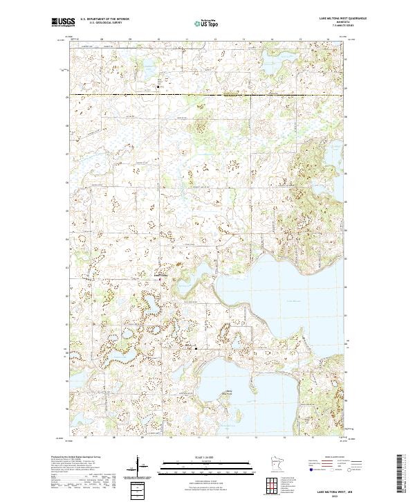
2022 Map of Lake Miltona West
USGS Topo · Published 2022About this map
The boundary between Otter Tail and Douglas counties bisects a landscape defined by an intricate network of glacial lakes and agricultural drainage. This northern Minnesota terrain is dominated by the sprawling waters of Lake Miltona and Lake Ida, where points of interest like Betsy Ross Point and Christopherson Bay define the southern shoreline. The small settlement of Leaf Valley sits at a crossroads in the center of the map, serving as a local hub for the surrounding farmsteads and lakeside properties.
Find a feature on this map
76 named features on this map. Tap any name to fly to it.
Don’t see what you’re looking for? This feature index may not catch every label — zoom into the map to look around manually.
Map Details
Editions of this 2022 Lake Miltona West Map
This is the sole edition of this map. No revisions or reprints were ever made.
Other maps of this area

1953 · Brainerd
USGS Topo · 1:250,000

1953 · Saint Cloud
USGS Topo · 1:250,000

1957 · Brainerd
USGS Topo · 1:250,000

1957 · Saint Cloud
USGS Topo · 1:250,000

1958 · Saint Cloud
USGS Topo · 1:250,000

1958 · Brainerd
USGS Topo · 1:250,000

1965 · Brainerd
USGS Topo · 1:250,000

1966 · Brandon
USGS Topo · 1:24,000

1966 · Alexandria West
USGS Topo · 1:24,000

1966 · Alexandria East
USGS Topo · 1:24,000
Featured Places
- Leaf Valley, MN
- Effington Township, MN
- Parkers Prairie Township, MN
- Otter Tail County, MN
- Douglas County, MN