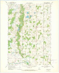
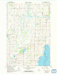
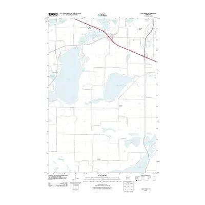
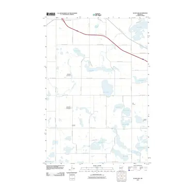
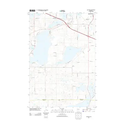
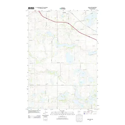
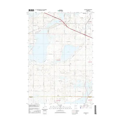
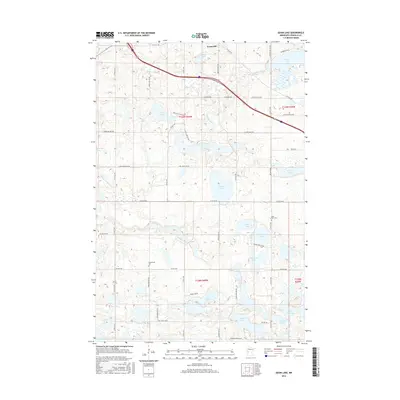
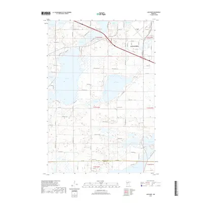
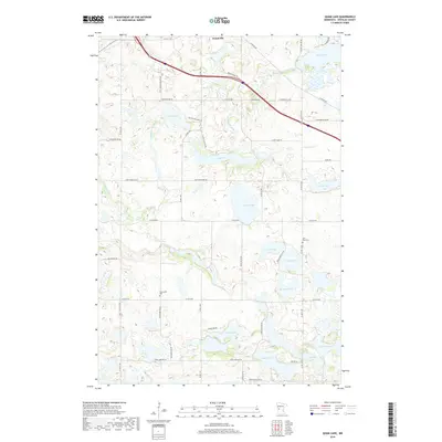
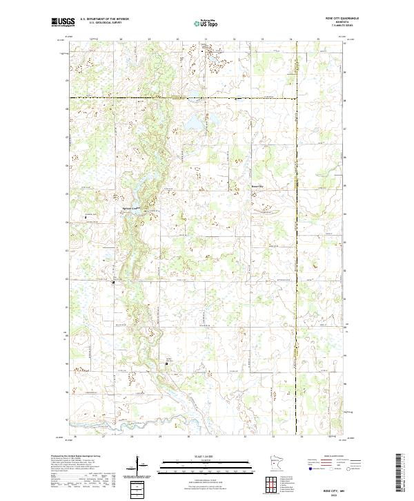
1969 Map of Rose City
USGS Topo · Published 1971About this map
Spruce Creek and Stormy Creek define the low-lying wetlands of this central Minnesota landscape, where the Big Spruce State Wildlife Management Area and Spruce Creek State Wildlife Management Area preserve the area's natural character. The settlement at Rose City serves as a local hub, situated near several rural community landmarks including the Townhall and the local Cemetery. This 1960s survey captures a transition between the northern woods and the open terrain of Long Prairie near the Belle River valley.
Find a feature on this map
23 named features on this map. Tap any name to fly to it.
Don’t see what you’re looking for? This feature index may not catch every label — zoom into the map to look around manually.
Map Details
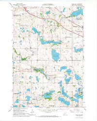
Editions of this 1969 Rose City Map
This is the sole edition of this map. No revisions or reprints were ever made.
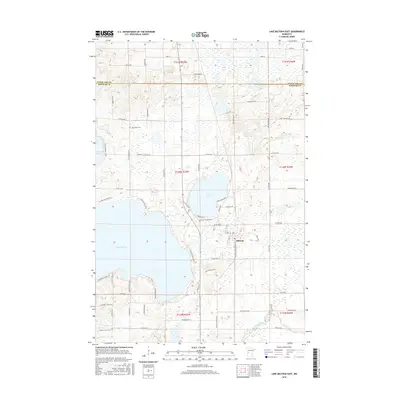
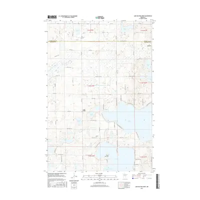
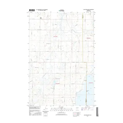
Historical Maps of Eastern Township Through Time
48 maps found
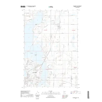
1966 Alexandria East
Douglas County, MN
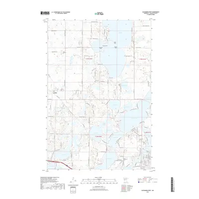
1966 Alexandria West
Douglas County, MN
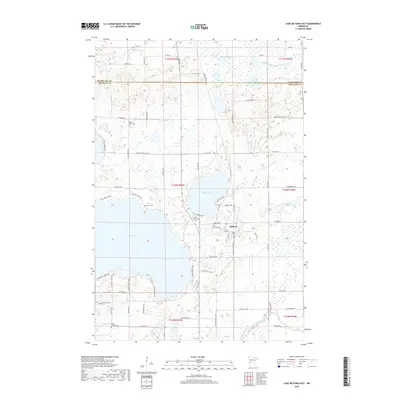
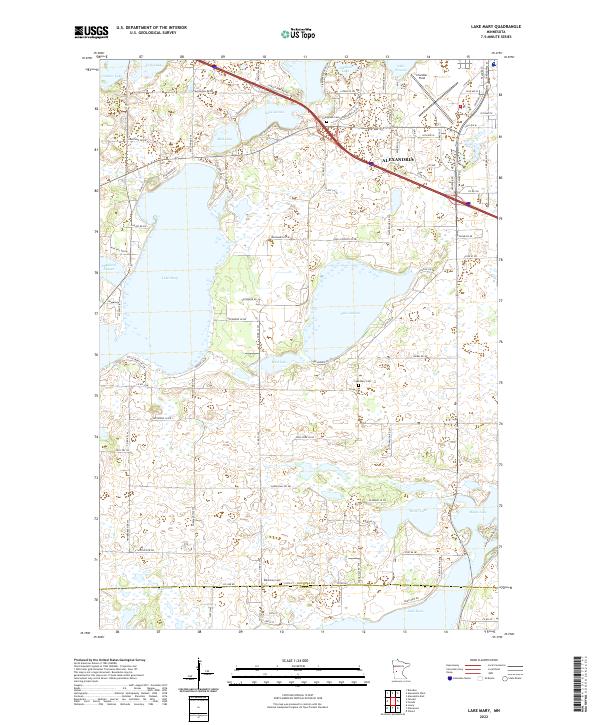
1966 Lake Mary
Douglas County, MN
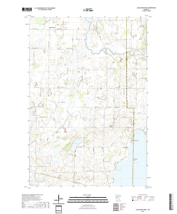
1966 Lake Osakis West
Douglas County, MN
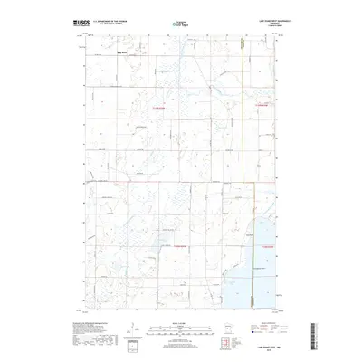
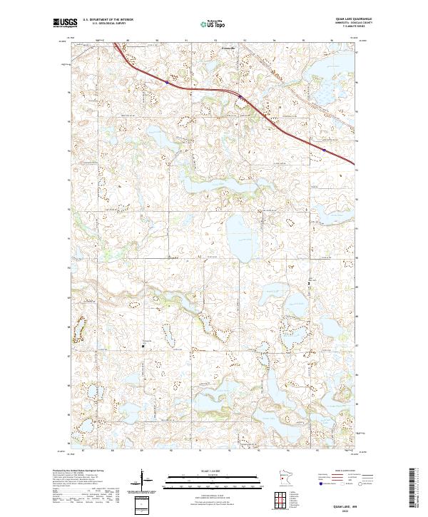
1966 Quam Lake
Douglas County, MN

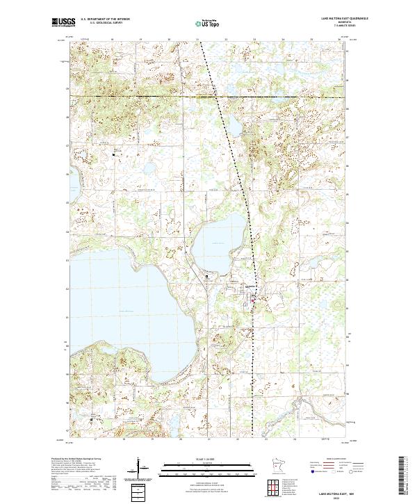
1969 Lake Miltona East
Douglas County, MN

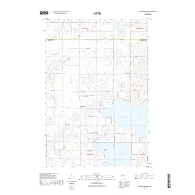
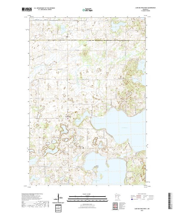
1969 Lake Miltona West
Douglas County, MN
1969 Rose City
Douglas County, MN
2010 Alexandria East
Douglas County, MN
2010 Alexandria West
Douglas County, MN
2010 Lake Mary
Douglas County, MN
2010 Lake Miltona East
Douglas County, MN
2010 Lake Miltona West
Douglas County, MN
2010 Lake Osakis West
Douglas County, MN
2010 Quam Lake
Douglas County, MN
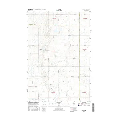
2010 Rose City
Douglas County, MN
2013 Alexandria East
Douglas County, MN
2013 Alexandria West
Douglas County, MN
2013 Lake Mary
Douglas County, MN
2013 Lake Miltona East
Douglas County, MN
2013 Lake Miltona West
Douglas County, MN
2013 Lake Osakis West
Douglas County, MN
2013 Quam Lake
Douglas County, MN
2013 Rose City
Douglas County, MN
2016 Alexandria East
Douglas County, MN
2016 Alexandria West
Douglas County, MN
2016 Lake Mary
Douglas County, MN
2016 Lake Miltona East
Douglas County, MN
2016 Lake Miltona West
Douglas County, MN
2016 Lake Osakis West
Douglas County, MN
2016 Quam Lake
Douglas County, MN
2016 Rose City
Douglas County, MN
2019 Alexandria East
Douglas County, MN
2019 Alexandria West
Douglas County, MN
2019 Lake Mary
Douglas County, MN
2019 Lake Miltona East
Douglas County, MN
2019 Lake Miltona West
Douglas County, MN
2019 Lake Osakis West
Douglas County, MN
2019 Quam Lake
Douglas County, MN
2019 Rose City
Douglas County, MN
2022 Alexandria East
Douglas County, MN
2022 Alexandria West
Douglas County, MN
2022 Lake Mary
Douglas County, MN
2022 Lake Miltona East
Douglas County, MN
2022 Lake Miltona West
Douglas County, MN
2022 Lake Osakis West
Douglas County, MN
2022 Quam Lake
Douglas County, MN
2022 Rose City
Douglas County, MN