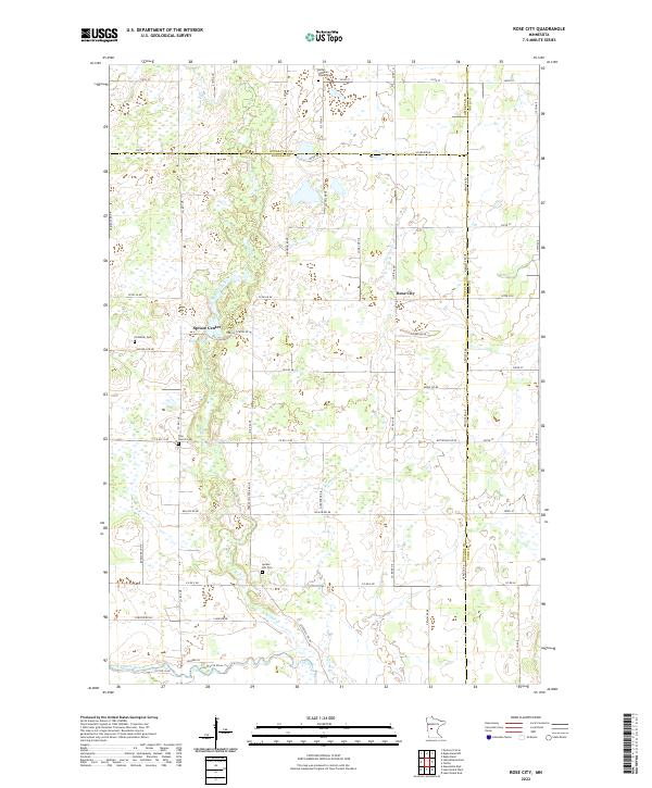
2022 Map of Rose City
USGS Topo · Published 2022About this map
Rose City and the settlement of Spruce Center define the local landscape of Douglas County, Minnesota, in this modern topographic survey. The area is characterized by an intricate network of wetlands and small water bodies, anchored by the winding Long Prairie River and the significant Mill Pond near Spruce Center. This region is a rich resource for genealogists, as it meticulously preserves the locations of several historic community burial grounds, including the Esther Lutheran Church Cem, Scribner Cem, Free Church Cem, and Spruce Hill Cem. Drainage patterns are dictated by Spruce Creek and Stormy Cr, which cut through a landscape divided by the rectilinear section lines and county boundaries of Otter Tail, Todd, and Douglas counties. Local infrastructure is marked by a blend of county roads and named residential lanes such as Acorn Ridge and Buttercup Dr NE, reflecting the ongoing development of these rural communities.
Find a feature on this map
67 named features on this map. Tap any name to fly to it.
Don’t see what you’re looking for? This feature index may not catch every label — zoom into the map to look around manually.
Map Details
Editions of this 2022 Rose City Map
This is the sole edition of this map. No revisions or reprints were ever made.
Other maps of this area

1953 · Brainerd
USGS Topo · 1:250,000

1953 · Saint Cloud
USGS Topo · 1:250,000

1957 · Brainerd
USGS Topo · 1:250,000

1957 · Saint Cloud
USGS Topo · 1:250,000

1958 · Saint Cloud
USGS Topo · 1:250,000

1958 · Brainerd
USGS Topo · 1:250,000

1965 · Brainerd
USGS Topo · 1:250,000

1966 · Lake Osakis East
USGS Topo · 1:24,000

1966 · Lake Osakis West
USGS Topo · 1:24,000

1966 · Alexandria East
USGS Topo · 1:24,000