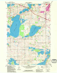
1966 Map of Lake Mary
USGS Topo · Published 1995About this map
Glacial water bodies dominate this portion of Douglas and Pope Counties, where Lake Mary and Lake Andrew form the centerpiece of a landscape defined by wetlands and agriculture. The map captures the southern edge of Alexandria during a period of infrastructure expansion, evidenced by the Alexandria Municipal Airport and the prominent Pipeline cutting northwest across the terrain. Numerous small lakes like Johnson Lake and Lobster Lake are surrounded by a dense network of rural schools and cemeteries, reflecting a well-established farming community.
Find a feature on this map
36 named features on this map. Tap any name to fly to it.
Don’t see what you’re looking for? This feature index may not catch every label — zoom into the map to look around manually.
Map Details
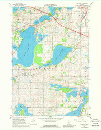
Editions of this 1966 Lake Mary Map
3 editions found
Other maps of this area

1953 · Saint Cloud
USGS Topo · 1:250,000

1957 · Saint Cloud
USGS Topo · 1:250,000

1958 · Saint Cloud
USGS Topo · 1:250,000

1966 · Brandon
USGS Topo · 1:24,000

1966 · Alexandria West
USGS Topo · 1:24,000

1966 · Farwell
USGS Topo · 1:24,000

1966 · Lake Mary
USGS Topo · 1:24,000

1966 · Alexandria East
USGS Topo · 1:24,000

1966 · Forada
USGS Topo · 1:24,000

1968 · Lowry
USGS Topo · 1:24,000