
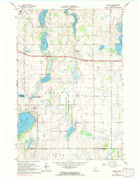
1966 Map of Forada
USGS Topo · Published 1968About this map
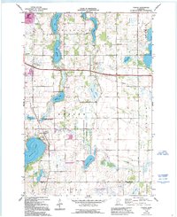
Forada and the southern edge of Alexandria anchor this mid-1960s landscape, where glacial lakes and agricultural land define the central Minnesota terrain. The area is dense with named water bodies, including the irregular shorelines of Lake Victoria, Lake Burgan, and the large expanse of Lake Maple. These lakes are connected by a network of local roads and sections of Hudson and Orange townships. This map captures a period of conservation and community infrastructure, evidenced by the Forada State Wildlife Management Area and local educational markers like Sunnyside Sch and Hazel Hill Sch. Genealogists may find particular value in the location of Hudson Cem and the various town halls and churches that serviced these rural communities. The survey also reveals the early footprint of modern infrastructure, including several Radio Towers and a prominent Landing Strip near the Douglas-Pope county line.
Find a feature on this map
34 named features on this map. Tap any name to fly to it.
Don’t see what you’re looking for? This feature index may not catch every label — zoom into the map to look around manually.
Map Details
Editions of this 1966 Forada Map
3 editions found
Other maps of this area

1953 · Saint Cloud
USGS Topo · 1:250,000

1957 · Saint Cloud
USGS Topo · 1:250,000

1958 · Saint Cloud
USGS Topo · 1:250,000

1965 · Westport
USGS Topo · 1:24,000

1966 · Alexandria West
USGS Topo · 1:24,000

1966 · Osakis
USGS Topo · 1:24,000

1966 · Lake Osakis West
USGS Topo · 1:24,000

1966 · Lake Mary
USGS Topo · 1:24,000

1966 · Alexandria East
USGS Topo · 1:24,000

1968 · Glenwood
USGS Topo · 1:24,000