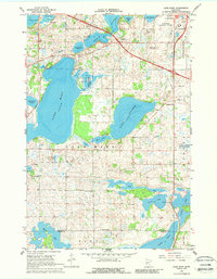
1966 Map of Lake Mary
USGS Topo · Published 1988About this map
Glacial topography and the interconnected basins of Douglas and Pope Counties define this mid-1960s landscape, dominated by the expansive Lake Mary. The survey reflects a rural community structured around local institutions, with the Townhall serving the center and scattered education sites such as Oak Grove Sch and Sunny Knoll Sch marking former school districts. Transport and infrastructure are centered near the growing edge of Alexandria, featuring the Alexandria Municipal Airport and a pipeline corridor cutting across the northern sections near Grand Lake. Natural conservation efforts are evident in the National Wildlife Management Area parcels located between the major lakes. For family historians, the presence of Bohemian Cem and Lake Mary Cem provides specific points for tracing local lineages in this central Minnesota lake country.
Find a feature on this map
30 named features on this map. Tap any name to fly to it.
Don’t see what you’re looking for? This feature index may not catch every label — zoom into the map to look around manually.
Map Details
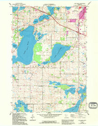
Editions of this 1966 Lake Mary Map
3 editions found
Other maps of this area

1953 · Saint Cloud
USGS Topo · 1:250,000

1957 · Saint Cloud
USGS Topo · 1:250,000

1958 · Saint Cloud
USGS Topo · 1:250,000

1966 · Brandon
USGS Topo · 1:24,000

1966 · Alexandria West
USGS Topo · 1:24,000

1966 · Farwell
USGS Topo · 1:24,000

1966 · Lake Mary
USGS Topo · 1:24,000

1966 · Alexandria East
USGS Topo · 1:24,000

1966 · Forada
USGS Topo · 1:24,000

1968 · Lowry
USGS Topo · 1:24,000