Old Maps of Bricelyn, Minnesota for Genealogy
Trace your family roots with 11 historic maps of Bricelyn. These high-res maps reveal old neighborhoods, homesites, landmarks, and streets — helping you uncover where your ancestors lived and how the area evolved over time.
- Explore historic neighborhoods: Identify where your relatives may have lived in the 1800s or 1900s.
- Compare maps over time: Trace the changes in streets, buildings, and landmarks for multi-generational research.
- Perfect for genealogy & ancestry research: Used by family historians and researchers to map out lineage and migration.
These maps are an incredible resource for exploring your personal connection to Bricelyn's past.
Bricelyn, MN maps
(11)- 1954 Map of Mason City, 1967 Print
 1954 Mason City1967 Print · USGSSouthern Minnesota and northern Iowa are shown here at the height of the mid-century rail era, centered on the regional hubs of Mason City and Rochester. Researchers can trace the vanished paths of the Chicago Great Western and find local landmarks like Pilot Knob and Bear Lake.2 unique versions available
 - 1955 Map of Bricelyn, 1956 Print
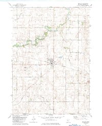
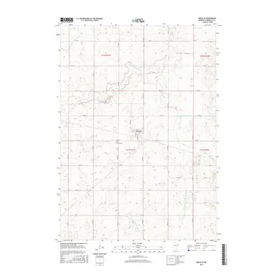
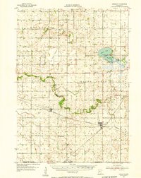 1955 Bricelyn1956 Print · USGSFaribault County agriculture and rail travel are at their peak in the mid-fifties, just north of the Iowa border. Genealogists and local historians can trace family roots through landmarks like St Marys Cem, the town of Bricelyn, and the reclaimed Oza Tanka Lakebed.
 - 1957 Map of Mason City
 1957 Mason City1957 Print · USGSThe Minnesota-Iowa border region comes alive in this mid-century survey, from the industrial plants of Mason City to the medical hub of Rochester. Researchers can trace the rail-and-river economy through the Chicago Great Western Railway and the Shell Rock River.
 - 1958 Map of Mason City
 1958 Mason City1958 Print · USGSSouthern Minnesota and northern Iowa are shown during the mid-fifties when railroads still anchored the regional economy. Genealogists and historians can trace the intricate rail networks of the Illinois Central and find local landmarks in Mason City, Albert Lea, and Austin.
 - 1982 Map of Bricelyn, 1983 Print
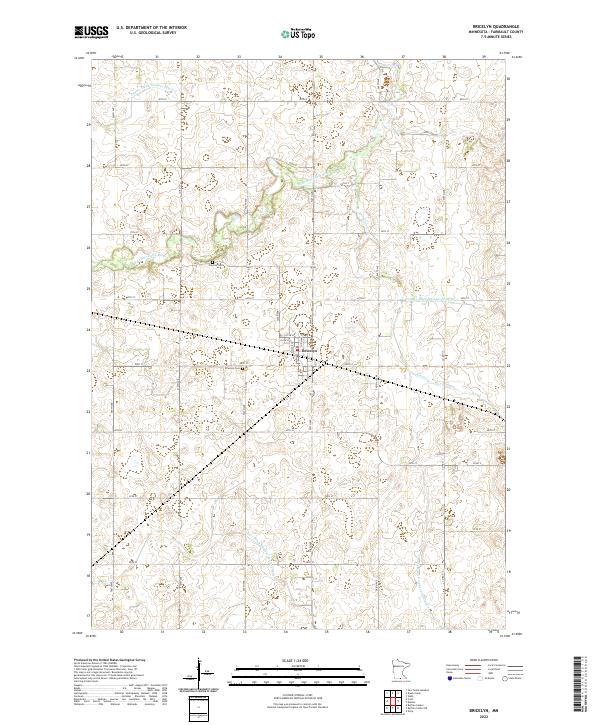
 1982 Bricelyn1983 Print · USGSBricelyn and the surrounding Faribault County townships are captured here in the early eighties as a high-functioning agricultural landscape. Genealogists and local historians can trace the Chicago and North Western rail line and locate Bricelyn Cem and Clayton Cem.
 - 1985 Map of Albert Lea
 1985 Albert Lea1985 Print · USGSSouthern Minnesota's agricultural heartland is documented here in the mid-1980s, showing a landscape defined by industrial rail lines and managed waterways. Trace the historic routes of the Chicago and North Western and explore settlements like Hollandale, New Richland, and Bricelyn.2 unique versions available
 - 2010 Map of Bricelyn, 2010 Print
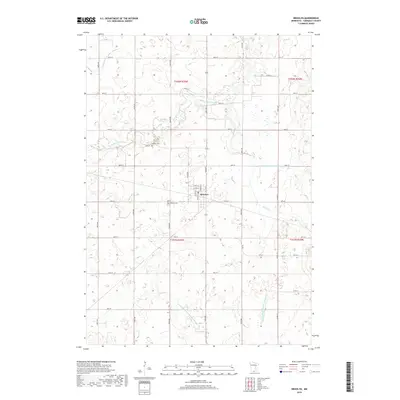
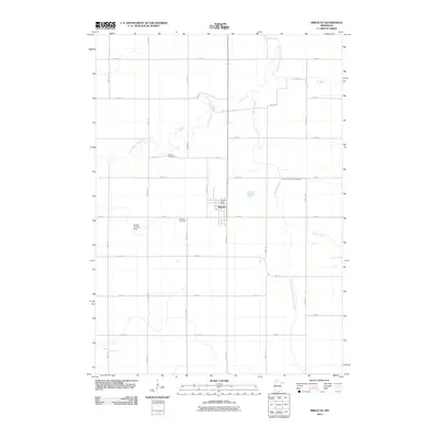 2010 Bricelyn2010 Print · USGSCovers Bricelyn, including Faribault County, United States, and other nearby areas
 - 2013 Map of Bricelyn, 2013 Print
 2013 Bricelyn2013 Print · USGSCovers Bricelyn, including Faribault County, United States, and other nearby areas
 - 2016 Map of Bricelyn, 2016 Print
 2016 Bricelyn2016 Print · USGSCovers Bricelyn, including Faribault County, United States, and other nearby areas
 - 2019 Map of Bricelyn, 2019 Print
 2019 Bricelyn2019 Print · USGSCovers Bricelyn, including Faribault County, United States, and other nearby areas
 - 2022 Map of Bricelyn, 2022 Print
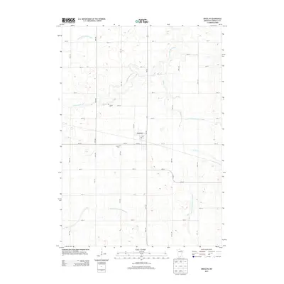
 2022 Bricelyn2022 Print · USGSBricelyn and its surrounding farmlands are documented here during the early 2020s, showing a landscape defined by an extensive drainage network. Researchers can pinpoint the Bricelyn Cem, Clayton Cem, and numerous waterways like the E Br Blue Earth River.
End of results
Showing maps 1-11 of 11
Top cities near Bricelyn
- Wells historical maps
- Buffalo Center historical maps
- Kiester historical maps
- Thompson historical maps
- Mansfield historical maps
- Leland historical maps
See more
Frequently asked questions
- What are the different types of historical maps available for Bricelyn?
- What is the oldest map of Bricelyn?
- Where can I purchase historical maps of Bricelyn for my home or office?
- Where can I download high-res historical maps of Bricelyn?
- Are there historical topographic maps available for Bricelyn?
- Is there historical aerial imagery available for Bricelyn?
- Where are historical maps of Bricelyn sourced from?