Old Maps of Pilot Grove, Minnesota for Metal Detecting
Plan your next treasure hunt with 9 historic maps of Pilot Grove. Find old homesites, ghost towns, trails, and gathering spots that may be lost to time — perfect for identifying promising metal detecting locations.
- Locate forgotten sites: Uncover places like long-lost settlements, abandoned rail lines, or gathering spots.
- Plan better hunts: Use map overlays combined with LiDAR or satellite views to narrow in on historically rich areas.
- Made for detectorists: Thousands of hobbyists use these maps to discover relics, coins, and hidden history.
Use these historic maps to boost your research and find new opportunities beneath the surface of Pilot Grove.
Pilot Grove, MN maps
(9)- 1954 Map of Fairmont, 1967 Print
 1954 Fairmont1967 Print · USGSThe prairie landscape of southern Minnesota and northern Iowa comes alive in this mid-century survey of the Coteau des Prairies. Genealogists and historians can trace the rail-connected growth of Fairmont and Blue Earth or locate family roots near St Kilian Ch and Union Slough National Wildlife Refuge.3 unique versions available
 - 1958 Map of Fairmont
 1958 Fairmont1958 Print · USGSThe borderlands of southern Minnesota and northern Iowa come alive in the mid-1950s, showing a landscape defined by glacial lakes and rail-line commerce. Researchers can trace historic landmarks like Lakeside Laboratory, Gridley Station, and the Bancroft Wildlife Refuge across the prairie.
 - 1967 Map of Pilot Grove, 1968 Print
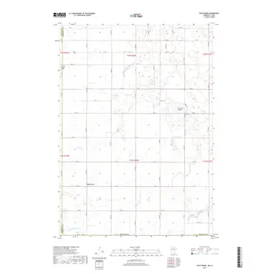
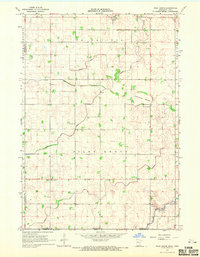 1967 Pilot Grove1968 Print · USGSFaribault County agriculture and water management are on full display in this late-sixties survey of the Minnesota-Iowa border. Genealogists and researchers can locate the Pilot Grove Cemetery, the local Townhall, and the winding West Branch Blue Earth River.
 - 1985 Map of Fairmont, 1991 Print
 1985 Fairmont1991 Print · USGSSouthern Minnesota in the mid-eighties shows a robust network of prairie towns and rail-connected agricultural hubs. Genealogists can trace family footprints across Rolling Green and Manyaska or locate old homesteads near Fox Lake and the Chicago & North Western line.
 - 2010 Map of Pilot Grove, 2010 Print
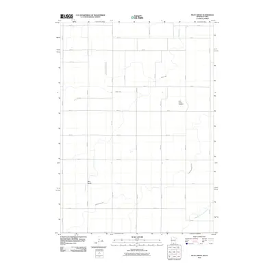 2010 Pilot Grove2010 Print · USGSCovers Pilot Grove, including Martin County, Kossuth County, and other nearby areas
 - 2013 Map of Pilot Grove, 2013 Print
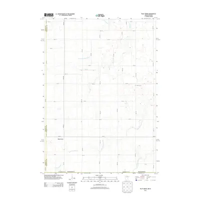 2013 Pilot Grove2013 Print · USGSCovers Pilot Grove, including Martin County, Kossuth County, and other nearby areas
 - 2016 Map of Pilot Grove, 2016 Print
 2016 Pilot Grove2016 Print · USGSCovers Pilot Grove, including Martin County, Kossuth County, and other nearby areas
 - 2019 Map of Pilot Grove, 2019 Print
 2019 Pilot Grove2019 Print · USGSCovers Pilot Grove, including Martin County, Kossuth County, and other nearby areas
 - 2022 Map of Pilot Grove, 2022 Print
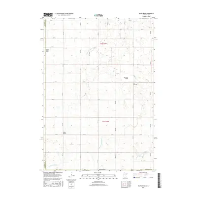
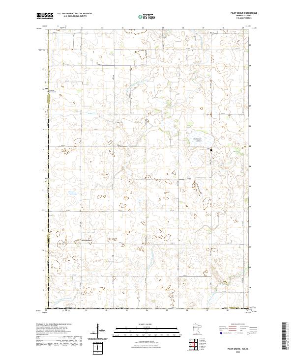 2022 Pilot Grove2022 Print · USGSFaribault County agriculture and drainage systems are captured in this recent survey of the Minnesota-Iowa borderlands. Genealogists and local historians can locate the Pilot Grove Cemetery and trace the modified landscape of the Pilot Grove Lakebed.
End of results
Showing maps 1-9 of 9
Top cities near Pilot Grove
- Fairmont historical maps
- Blue Earth historical maps
- Winnebago historical maps
- Elmore historical maps
- Swea City historical maps
- East Chain historical maps
See more
Frequently asked questions
- What are the different types of historical maps available for Pilot Grove?
- What is the oldest map of Pilot Grove?
- Where can I purchase historical maps of Pilot Grove for my home or office?
- Where can I download high-res historical maps of Pilot Grove?
- Are there historical topographic maps available for Pilot Grove?
- Is there historical aerial imagery available for Pilot Grove?
- Where are historical maps of Pilot Grove sourced from?