Old Maps of Bluffview Park Mobile Home Park, Rushford for Genealogy
Trace your family roots with 13 historic maps of Bluffview Park Mobile Home Park. These high-res maps reveal old neighborhoods, homesites, landmarks, and streets — helping you uncover where your ancestors lived and how the area evolved over time.
- Explore historic neighborhoods: Identify where your relatives may have lived in the 1800s or 1900s.
- Compare maps over time: Trace the changes in streets, buildings, and landmarks for multi-generational research.
- Perfect for genealogy & ancestry research: Used by family historians and researchers to map out lineage and migration.
These maps are an incredible resource for exploring your personal connection to Bluffview Park Mobile Home Park's past.
Bluffview Park Mobile Home Park, Rushford maps
(13)- 1954 Map of Lewiston, 1956 Print
 1954 Lewiston1956 Print · USGSSoutheast Minnesota’s transition from prairie to deep river coulees is captured here in the mid-1950s. Genealogists can locate dozens of rural landmarks, from Lodahl School and Jenkins School to the Brethren Church and the Fish Hatchery near Peterson.2 unique versions available
 - 1958 Map of La Crosse, 1979 Print
 1958 La Crosse1979 Print · USGSThe Driftless Area of Wisconsin and Iowa is captured here during the late seventies, showing the intricate river valleys and ridge-top settlements. Genealogists and historians can trace the rail corridors of the Soo Line or locate landmarks like Grandad Bluff and Effigy Mounds National Monument.2 unique versions available
 - 1961 Map of La Crosse
 1961 La Crosse1961 Print · USGSThe Driftless Area at the start of the 1960s reveals a complex network of river towns and rail lines along the Mississippi River. Genealogists and historians can trace old settlements like New Amsterdam and Wyattville or locate major landmarks like Camp McCoy Military Reservation and Effigy Mounds National Monument.
 - 1965 Map of La Crosse
 1965 La Crosse1965 Print · USGSThe Driftless Area and the Upper Mississippi valley are captured here during a period of steady mid-century growth. Researchers can trace the rail lines of the Chicago and North Western or locate riverfront sites like Effigy Mounds National Monument and the Camp McCoy Military Reservation.
 - 1974 Map of Rushford West, 1976 Print
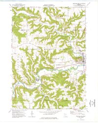 1974 Rushford West1976 Print · USGSFillmore County river towns and blufflands are captured here in the mid-seventies as the rail-and-river economy shaped the valley. Researchers can trace local lineages through West Grace Cem and Hungerholdt Cem, or locate landmarks like the Fish Hatchery.
 - 1976 Map of La Crosse
 1976 La Crosse1976 Print · USGSThe Driftless Area and Mississippi River valley are captured here in the mid-seventies, showing a landscape of deep coulees and river commerce. Genealogists can trace family footprints from La Crosse to smaller hamlets like Newburg Corners and Witoka.
 - 1984 Map of La Crosse, 1985 Print
 1984 La Crosse1985 Print · USGSThe Driftless Area of the upper Mississippi valley appears here in the mid-eighties, showing the tri-state intersections of Wisconsin, Minnesota, and Iowa. Genealogists and local historians can trace family-named landmarks such as Peacock Ridge or Prosch Coulee and locate rural landmarks like St Marys Ch.
 - 1990 Map of La Crosse, 1991 Print
 1990 La Crosse1991 Print · USGSThe tri-state river valley at the end of the twentieth century shows a landscape defined by the Mississippi River and heavy rail. Trace the paths of the Soo Line and Burlington Northern through river towns like Brownsville and La Crescent.
 - 2010 Map of Rushford West, 2010 Print
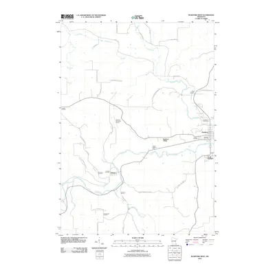 2010 Rushford West2010 Print · USGSThe Root River valley in the early 2000s is shown here with high detail, focusing on the communities of Peterson and Rushford. Researchers can locate several family cemeteries like Hungerholdt Cemetery and infrastructure such as the Robert Highum Dam.
 - 2013 Map of Rushford West, 2013 Print
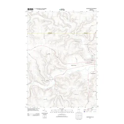 2013 Rushford West2013 Print · USGSThe Root River valley in the early 21st century reveals a landscape where bluff-top farms meet riverside settlements. Researchers can trace local heritage through numerous burial sites like Hungerholdt Cem and follow the path of Rush Creek into the heart of Peterson.
 - 2016 Map of Rushford West, 2016 Print
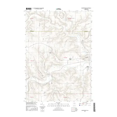 2016 Rushford West2016 Print · USGSSoutheastern Minnesota's river valleys and blufflands are well-defined in this mid-2010s survey of Fillmore and Winona counties. Genealogists and local historians can trace the positions of West Grace Cem, Peterson, and the family-named Hungerholdt Cem along the winding Root River.
 - 2019 Map of Rushford West, 2019 Print
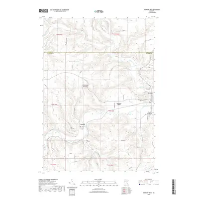 2019 Rushford West2019 Print · USGSThe Root River valley in Fillmore County was a corridor of early settlement and industry that remains clearly defined in the modern era. Researchers can trace historic burial grounds like Saint Joseph Cem and Hungerholdt Cem near the riverfront towns of Peterson and Rushford.
 - 2022 Map of Rushford West, 2022 Print
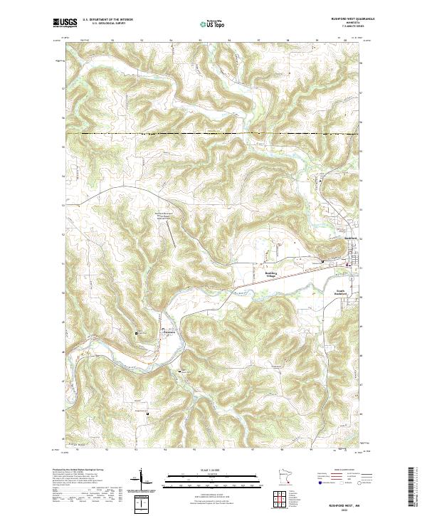 2022 Rushford West2022 Print · USGSIn the driftless area of Fillmore County, this 2022 survey highlights the Root River valley's enduring settlement patterns. Researchers can locate family heritage sites like Hongerholt Cem and West Grace Cem alongside the modern Root River State Trl.
End of results
Showing maps 1-13 of 13
Top cities near Bluffview Park Mobile Home Park
- Winona historical maps
- Rushford historical maps
- Lewiston historical maps
- Homer historical maps
- Wilson historical maps
- Houston historical maps
See more
Frequently asked questions
- What are the different types of historical maps available for Bluffview Park Mobile Home Park?
- What is the oldest map of Bluffview Park Mobile Home Park?
- Where can I purchase historical maps of Bluffview Park Mobile Home Park for my home or office?
- Where can I download high-res historical maps of Bluffview Park Mobile Home Park?
- Are there historical topographic maps available for Bluffview Park Mobile Home Park?
- Is there historical aerial imagery available for Bluffview Park Mobile Home Park?
- Where are historical maps of Bluffview Park Mobile Home Park sourced from?