Old Maps of Albert Lea, Minnesota for Academic Research
Study the evolution of Albert Lea with 23 high-resolution historic maps. Whether you're teaching, researching, or modeling changes in land use, these maps provide essential visual documentation of urban, environmental, and geographic change.
- Analyze long-term change: Track patterns in development, transportation, and natural features.
- Ideal for environmental or urban studies: Support academic projects with primary historical map data.
- Use in the classroom or lab: Educators and researchers rely on these maps to bring historical context to life.
These maps are a powerful tool for teaching, research, and visualizing how Albert Lea has changed over the decades.
Albert Lea, MN maps
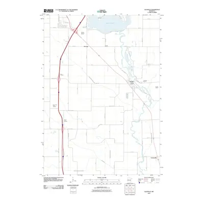
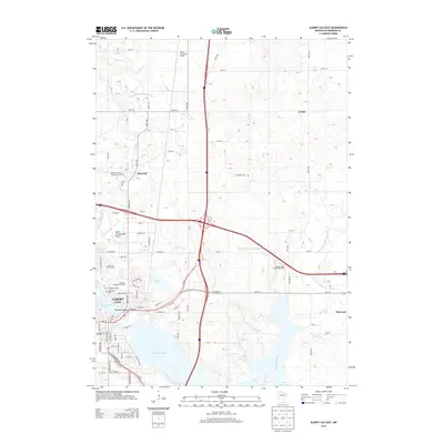
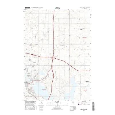
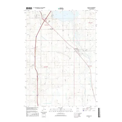
(23)- 1954 Map of Albert Lea, 1956 Print
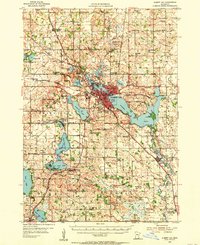 1954 Albert Lea1956 Print · USGSFreeborn County in the mid-fifties is a landscape of glacial lakes and bustling rail junctions centered on Albert Lea. Genealogists can trace rural family roots through numerous district schools like Norby Sch and country churches such as Pickerel Lake Ch.3 unique versions available
 - 1954 Map of Mason City, 1967 Print
 1954 Mason City1967 Print · USGSSouthern Minnesota and northern Iowa are shown here at the height of the mid-century rail era, centered on the regional hubs of Mason City and Rochester. Researchers can trace the vanished paths of the Chicago Great Western and find local landmarks like Pilot Knob and Bear Lake.2 unique versions available
 - 1957 Map of Mason City
 1957 Mason City1957 Print · USGSThe Minnesota-Iowa border region comes alive in this mid-century survey, from the industrial plants of Mason City to the medical hub of Rochester. Researchers can trace the rail-and-river economy through the Chicago Great Western Railway and the Shell Rock River.
 - 1958 Map of Mason City
 1958 Mason City1958 Print · USGSSouthern Minnesota and northern Iowa are shown during the mid-fifties when railroads still anchored the regional economy. Genealogists and historians can trace the intricate rail networks of the Illinois Central and find local landmarks in Mason City, Albert Lea, and Austin.
 - 1982 Map of Albert Lea West, 1983 Print
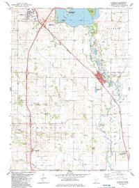
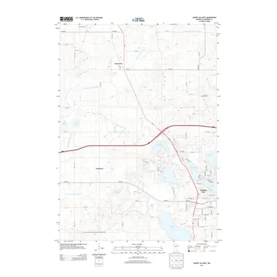
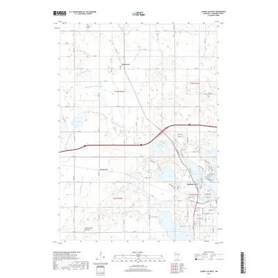
 1982 Albert Lea West1983 Print · USGSFreeborn County at the start of the 1980s shows the expansion of Albert Lea against its glacial lake backdrop. Researchers can trace local history through sites like Graceland Cemetery, the Pickerel Lake Ch, and the rural rail crossing at Armstrong.
 - 1982 Map of Albert Lea East, 1983 Print
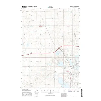
 1982 Albert Lea East1983 Print · USGSSouthern Minnesota's lakeside city of Albert Lea is shown at a peak of regional growth during the early eighties. Genealogists and local researchers can trace historic sites like Lakewood Cemetery, St Theodores Church, and the former Drive-in Theater.
 - 1982 Map of Glenville, 1983 Print
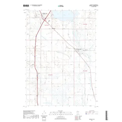
 1982 Glenville1983 Print · USGSFreeborn County and the Iowa borderlands are captured in the early eighties as a network of rail lines and river bends. Genealogists can trace family landmarks like Hillcrest Memorial Gardens, Greenwood Cem, and the historic Round Prairie Ch.
 - 1985 Map of Albert Lea
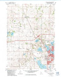
 1985 Albert Lea1985 Print · USGSSouthern Minnesota's agricultural heartland is documented here in the mid-1980s, showing a landscape defined by industrial rail lines and managed waterways. Trace the historic routes of the Chicago and North Western and explore settlements like Hollandale, New Richland, and Bricelyn.2 unique versions available
 - 2010 Map of Glenville, 2010 Print
 2010 Glenville2010 Print · USGSCovers Albert Lea, including Glenville, Stoney Creek Estates, and other nearby areas
 - 2010 Map of Albert Lea West, 2010 Print
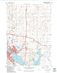
 2010 Albert Lea West2010 Print · USGSCovers Albert Lea, including Manchester, Armstrong, and other nearby areas
 - 2010 Map of Albert Lea East, 2010 Print
 2010 Albert Lea East2010 Print · USGSCovers Albert Lea, including Bancroft, Hayward, and other nearby areas
 - 2013 Map of Glenville, 2013 Print
 2013 Glenville2013 Print · USGSCovers Albert Lea, including Glenville, Stoney Creek Estates, and other nearby areas
 - 2013 Map of Albert Lea East, 2013 Print
 2013 Albert Lea East2013 Print · USGSCovers Albert Lea, including Bancroft, Hayward, and other nearby areas
 - 2013 Map of Albert Lea West, 2013 Print
 2013 Albert Lea West2013 Print · USGSCovers Albert Lea, including Manchester, Armstrong, and other nearby areas
 - 2016 Map of Albert Lea West, 2016 Print
 2016 Albert Lea West2016 Print · USGSCovers Albert Lea, including Manchester, Armstrong, and other nearby areas
 - 2016 Map of Albert Lea East, 2016 Print
 2016 Albert Lea East2016 Print · USGSCovers Albert Lea, including Bancroft, Hayward, and other nearby areas
 - 2016 Map of Glenville, 2016 Print
 2016 Glenville2016 Print · USGSCovers Albert Lea, including Glenville, Stoney Creek Estates, and other nearby areas
 - 2019 Map of Albert Lea East, 2019 Print
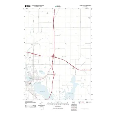
 2019 Albert Lea East2019 Print · USGSCovers Albert Lea, including Bancroft, Hayward, and other nearby areas
 - 2019 Map of Glenville, 2019 Print
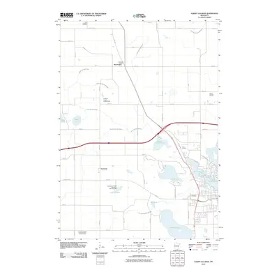
 2019 Glenville2019 Print · USGSCovers Albert Lea, including Glenville, Stoney Creek Estates, and other nearby areas
 - 2019 Map of Albert Lea West, 2019 Print
 2019 Albert Lea West2019 Print · USGSCovers Albert Lea, including Manchester, Armstrong, and other nearby areas
 - 2022 Map of Albert Lea West, 2022 Print
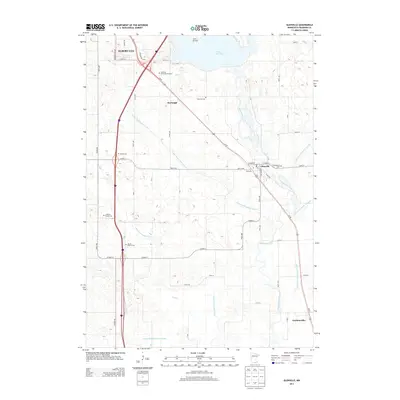
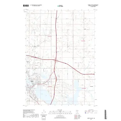
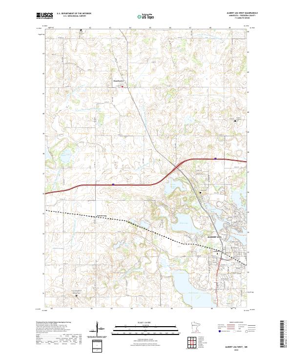 2022 Albert Lea West2022 Print · USGSFreeborn County is shown in the early twenty-first century, revealing the established agricultural and water management patterns around Albert Lea. Genealogists and local historians can trace family locations near Graceland Cem, Manchester, and the Concordia Lutheran Church.
 - 2022 Map of Glenville, 2022 Print
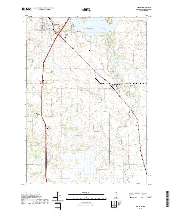 2022 Glenville2022 Print · USGSSouthern Minnesota in the 2020s remains defined by its managed waterways and quiet rural crossroads. Researchers can trace family history through numerous burial sites like Hillcrest Memorial Gardens or explore the settlement of Glenville along the Shell Rock River.
 - 2022 Map of Albert Lea East, 2022 Print
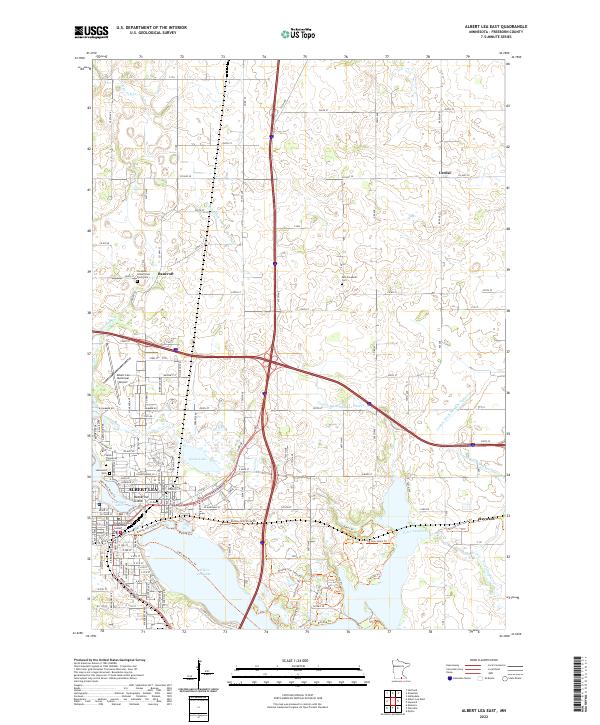 2022 Albert Lea East2022 Print · USGSFreeborn County settlement and infrastructure are captured in this recent survey of the region surrounding Albert Lea and Hayward. Researchers can locate several burial grounds and civic landmarks, including the Freeborn County Poor Farm Cem and Katherine Island in Fountain Lake.
End of results
Showing maps 1-23 of 23
Top cities near Albert Lea
- Lake Mills historical maps
- Northwood historical maps
- Bancroft historical maps
- Clarks Grove historical maps
- Glenville historical maps
- Ellendale historical maps
See more
Top neighborhoods of Albert Lea
Frequently asked questions
- What are the different types of historical maps available for Albert Lea?
- What is the oldest map of Albert Lea?
- Where can I purchase historical maps of Albert Lea for my home or office?
- Where can I download high-res historical maps of Albert Lea?
- Are there historical topographic maps available for Albert Lea?
- Is there historical aerial imagery available for Albert Lea?
- Where are historical maps of Albert Lea sourced from?