2020s Maps of Florence Township, Minnesota
Explore 5 historic maps of Florence Township from the 2020s. These maps offer a rare glimpse into what life looked like during the 2020s — showing old roads, neighborhoods, homes, and landmarks that have changed or disappeared over time.
Whether you're researching your family's past, planning a metal detecting trip, or studying how Florence Township's landscape evolved across the 2020s, these high-resolution maps are a powerful tool for exploring the history of this region.
- Focus on a specific era: All maps on this page are from the 2020s, giving you a focused view of this time period.
- See what’s changed: Compare century-old streets, trails, and buildings to today's modern landscape using overlays and satellite layers.
- Research with precision: Use these maps for genealogy, historical research, land use analysis, or educational projects.
- View, download, or print: Maps are fully viewable online in high resolution, and can be downloaded or printed for your own records.
Start exploring Florence Township's history through authentic maps from the 2020s. This is your window into the past.
Florence Township, MN maps
(5)- 2022 Map of Lake City NW, 2022 Print
 2022 Lake City NW2022 Print · USGSThe hills of Goodhue County are captured in this recent survey, showcasing a landscape of high ridges and winding creek valleys. Trace the topography of West Florence Ridge or find landmarks like Kohn Hill and the headwaters of Wells Cr.
 - 2022 Map of Bay City, 2022 Print
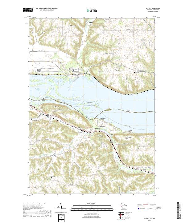 2022 Bay City2022 Print · USGSThe Mississippi River valley comes alive in this contemporary survey of the borderlands near Bay City and Wacouta. Researchers can pinpoint family history at Tabor Cem or Scherf Cem and trace the winding paths of Isabelle Cr and Bullard Cr.
 - 2022 Map of Maiden Rock, 2022 Print
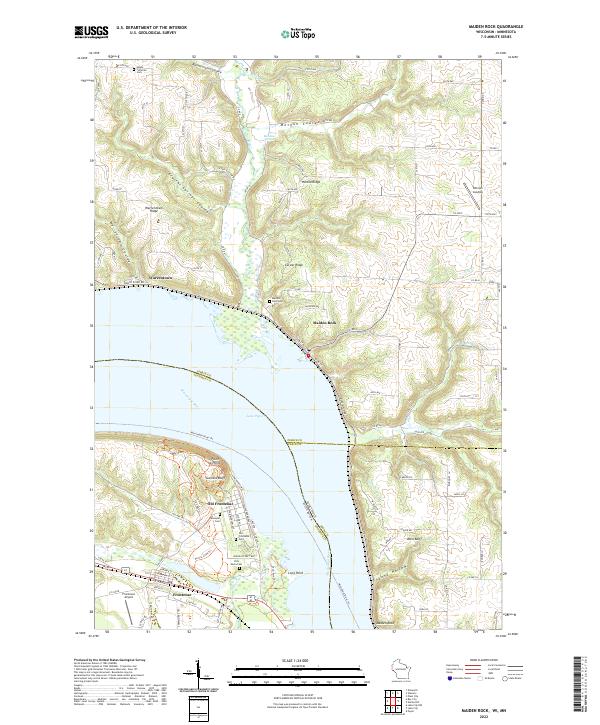 2022 Maiden Rock2022 Print · USGSThe bluffs of the upper Mississippi River valley define this area where Minnesota and Wisconsin meet during the early twenty-first century. Researchers can trace historic riverfront settlements and cemeteries, from Old Frontenac and Maiden Rock to the Villa Maria Cem.
 - 2022 Map of Pepin, 2022 Print
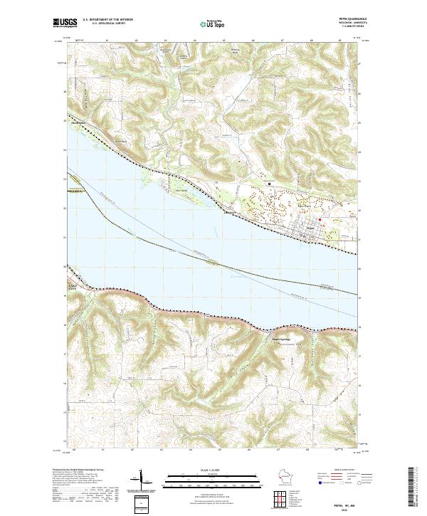 2022 Pepin2022 Print · USGSThe widening Mississippi River defines the border between Wisconsin and Minnesota in this contemporary survey of the Lake Pepin region. Researchers can trace the layout of Pepin and Stockholm or locate rural landmarks like Oakwood Cem and Maple Springs.
 - 2022 Map of Lake City, 2022 Print
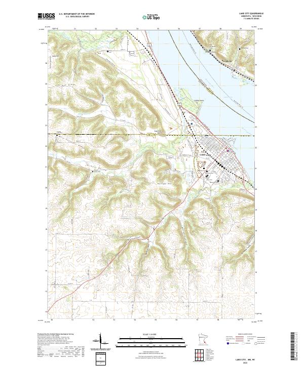 2022 Lake City2022 Print · USGSThe riverside community of Lake City and the Wisconsin shore of Lake Pepin are documented in this recent survey. Researchers can locate numerous family burial grounds like Oakwood Cem and Vining Cem or trace the winding Territorial Road Trl.
End of results
Showing maps 1-5 of 5
Top cities near Florence Township
- Red Wing historical maps
- Lake City historical maps
- Ellsworth historical maps
- Trenton historical maps
- Trimbelle historical maps
- Town of Ellsworth historical maps
See more
Top neighborhoods of Florence Township
- Hansen's Harbor and Trailer Court historical maps
- Frontenac historical maps
- Old Frontenac historical maps
Frequently asked questions
- What are the different types of historical maps available for Florence Township?
- What is the oldest map of Florence Township?
- Where can I purchase historical maps of Florence Township for my home or office?
- Where can I download high-res historical maps of Florence Township?
- Are there historical topographic maps available for Florence Township?
- Is there historical aerial imagery available for Florence Township?
- Where are historical maps of Florence Township sourced from?