2000s (21st Century) Maps of Minneola Township, Minnesota
Explore 10 historic maps of Minneola Township from the 2000s (21st Century). These maps offer a rare glimpse into what life looked like during the 2000s — showing old roads, neighborhoods, homes, and landmarks that have changed or disappeared over time.
Whether you're researching your family's past, planning a metal detecting trip, or studying how Minneola Township's landscape evolved across the 2000s, these high-resolution maps are a powerful tool for exploring the history of this region.
- Focus on a specific era: All maps on this page are from the 2000s, giving you a focused view of this time period.
- See what’s changed: Compare century-old streets, trails, and buildings to today's modern landscape using overlays and satellite layers.
- Research with precision: Use these maps for genealogy, historical research, land use analysis, or educational projects.
- View, download, or print: Maps are fully viewable online in high resolution, and can be downloaded or printed for your own records.
Start exploring Minneola Township's history through authentic maps from the 2000s. This is your window into the past.
Minneola Township, MN maps
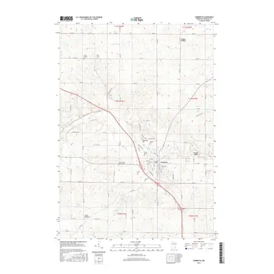
(10)- 2010 Map of Zumbrota, 2010 Print
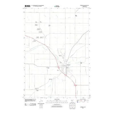 2010 Zumbrota2010 Print · USGSCovers Minneola Township, including Zumbrota, Belle Creek Township, and other nearby areas
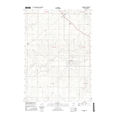
 - 2010 Map of Wanamingo, 2010 Print
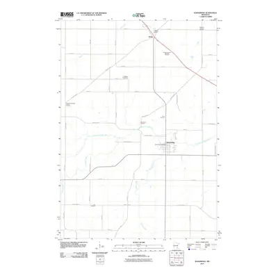 2010 Wanamingo2010 Print · USGSCovers Minneola Township, including Wanamingo, Aspelund, and other nearby areas
 - 2013 Map of Zumbrota, 2013 Print
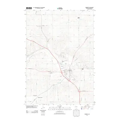 2013 Zumbrota2013 Print · USGSCovers Minneola Township, including Zumbrota, Belle Creek Township, and other nearby areas
 - 2013 Map of Wanamingo, 2013 Print
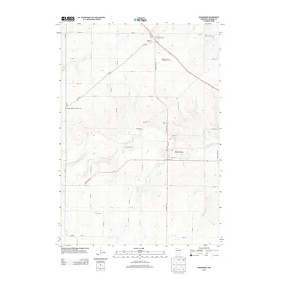 2013 Wanamingo2013 Print · USGSCovers Minneola Township, including Wanamingo, Aspelund, and other nearby areas
 - 2016 Map of Wanamingo, 2016 Print
 2016 Wanamingo2016 Print · USGSCovers Minneola Township, including Wanamingo, Aspelund, and other nearby areas
 - 2016 Map of Zumbrota, 2016 Print
 2016 Zumbrota2016 Print · USGSCovers Minneola Township, including Zumbrota, Belle Creek Township, and other nearby areas
 - 2019 Map of Wanamingo, 2019 Print
 2019 Wanamingo2019 Print · USGSCovers Minneola Township, including Wanamingo, Aspelund, and other nearby areas
 - 2019 Map of Zumbrota, 2019 Print
 2019 Zumbrota2019 Print · USGSCovers Minneola Township, including Zumbrota, Belle Creek Township, and other nearby areas
 - 2022 Map of Wanamingo, 2022 Print
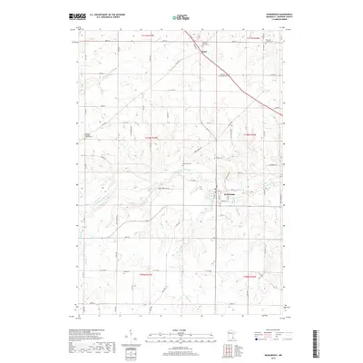
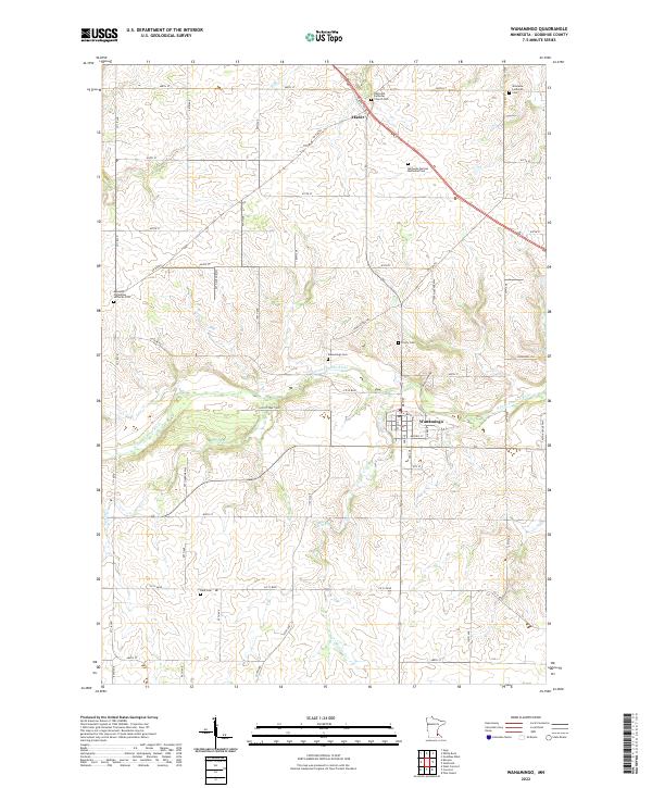 2022 Wanamingo2022 Print · USGSGoodhue County farmland in the early 2020s shows a landscape still anchored by its pioneer-era churchyards and river valleys. Genealogists can trace family names at Wanamingo Cem, Trinity Cem, and Dale Cem along the N Fork Zumbro River.
 - 2022 Map of Zumbrota, 2022 Print
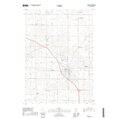
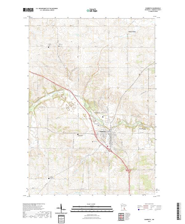 2022 Zumbrota2022 Print · USGSZumbrota and the surrounding river valleys are captured here in the early twenty-first century as a landscape of deep-rooted heritage. Local historians can trace family origins through numerous burial sites like Land Norwegian Lutheran Cem and United Cem, or explore outlying hamlets such as Forest Mills.
End of results
Showing maps 1-10 of 10
Top cities near Minneola Township
- Rochester historical maps
- Red Wing historical maps
- Cannon Falls historical maps
- Pine Island historical maps
- Zumbrota historical maps
- Oronoco historical maps
See more
Top neighborhoods of Minneola Township
Frequently asked questions
- What are the different types of historical maps available for Minneola Township?
- What is the oldest map of Minneola Township?
- Where can I purchase historical maps of Minneola Township for my home or office?
- Where can I download high-res historical maps of Minneola Township?
- Are there historical topographic maps available for Minneola Township?
- Is there historical aerial imagery available for Minneola Township?
- Where are historical maps of Minneola Township sourced from?