Loading...
Loading map...2022 Map of Wanamingo
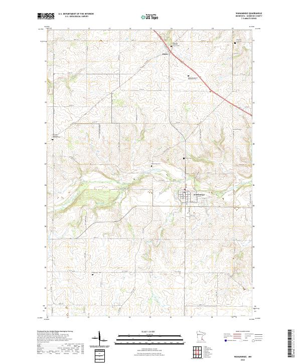
USGS Topo · Published 2022About this map
The N Fork Zumbro River snakes through the center of this rural Minnesota landscape, defining the layout of the town of Wanamingo. The area is notably dense with commemorative sites, reflecting the deep heritage of Scandinavian and German settlers in Goodhue County. These sites range from the Nazareth Lutheran Church Cem in the north to the Aspelund Norwegian Lutheran Cem and the Minneola German Methodist Cem.
Find a feature on this map
60 named features on this map. Tap any name to fly to it.
Don’t see what you’re looking for? This feature index may not catch every label — zoom into the map to look around manually.
Map Details
Date Portrayed2022
Date Published2022
PublisherU.S. Geological Survey
Map TypeTopographic
Scale1:24000
Physical Dimensions24 x 29 inches
Editions of this 2022 Wanamingo Map
This is the sole edition of this map. No revisions or reprints were ever made.
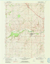
Historical Maps of Minneola Township Through Time
Featured Locations
- Cherry Grove Township, MN
- Leon Township, MN
- Minneola Township, MN
- Wanamingo, MN
- Aspelund, Wanamingo Township
Source Details
SourceU.S. Geological Survey
CopyrightPublic Domain