Old Maps of Roscoe Township, Minnesota for Hiking & Exploration
Hike through history with 28 historic maps of Roscoe Township. Explore old trails, ghost towns, and forgotten backroads — perfect for outdoor adventurers and local explorers.
- Rediscover forgotten places: Map out old mining camps, roads, and footpaths that no longer exist on modern maps.
- Layer with modern tools: Combine with LiDAR or satellite views to plan hikes through historical terrain.
- Made for exploration: Popular among hikers, overlanders, and local history lovers.
Use these maps to find adventure and explore the hidden past of Roscoe Township.
Roscoe Township, MN maps
(28)- 1953 Map of Saint Paul, 1964 Print
 1953 Saint Paul1964 Print · USGSThe Twin Cities and the Mississippi River valley are captured here at a mid-century turning point. Trace the early growth of Minneapolis and Saint Paul alongside landmarks like Lake Minnetonka and the St Croix River.4 unique versions available
 - 1959 Map of Saint Paul
 1959 Saint Paul1959 Print · USGSThe Twin Cities and southeastern Minnesota appear here in the late fifties, showing the peak of the rail era and post-war suburban growth. Genealogists can trace family footprints near Lake Minnetonka, the Univ Of Minn Rosemount Research Center, or the growing neighborhoods of Richfield.2 unique versions available
 - 1965 Map of Concord, 1966 Print
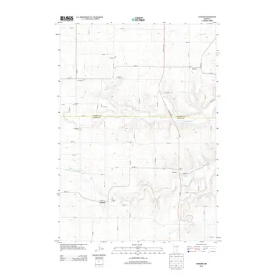
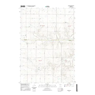
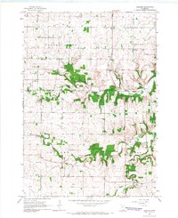 1965 Concord1966 Print · USGSThe rural countryside of Dodge and Goodhue counties comes into focus in the mid-1960s, showing a landscape defined by the Zumbro River. Trace old homesteads near Berne, Roscoe, and the rural St Rose Ch or Riverside Cem.2 unique versions available
 - 1965 Map of Pine Island, 1967 Print
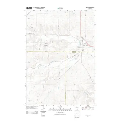
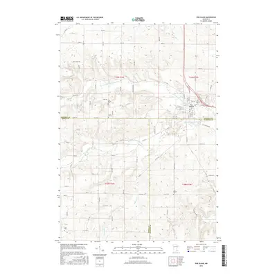
 1965 Pine Island1967 Print · USGSPine Island and the surrounding agricultural townships are seen here in the mid-1960s as the rail and river networks shaped the region. Genealogists and local historians can locate early burial sites like St Michael Cem and follow the Chicago Great Western tracks.2 unique versions available
 - 1968 Map of Zumbrota, 1970 Print
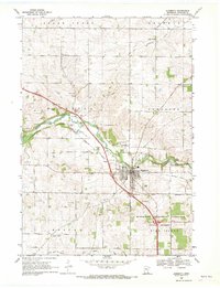 1968 Zumbrota1970 Print · USGSZumbrota and its surrounding townships are captured in the late sixties as the region's rail and agricultural patterns remained clearly defined. Genealogists and local historians can trace legacy sites like St Johns Ch, United Cem, and the small community of Forest Mills.2 unique versions available
 - 1968 Map of Wanamingo, 1970 Print
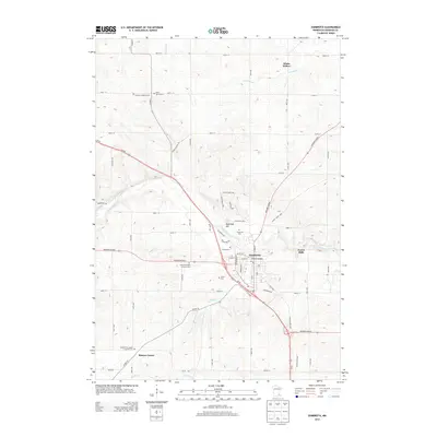
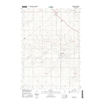
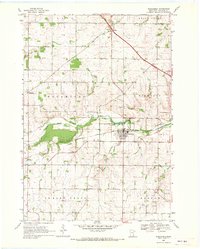 1968 Wanamingo1970 Print · USGSGoodhue County comes into focus in the late sixties as the rail-and-river economy centers on the town of Wanamingo. Local historians can trace family ties at Trinity Cem and Dale Cem, or follow the Chicago Milwaukee St Paul and Pacific railroad through the valley.2 unique versions available
 - 1985 Map of Rochester
 1985 Rochester1985 Print · USGSSoutheastern Minnesota in the mid-eighties centers on the growth of Rochester and its surrounding river valleys. Trace family roots and old rail lines through Mantorville, Pine Island, and along the Mississippi River near Lake Pepin.
 - 1989 Map of Rochester
 1989 Rochester1989 Print · USGSSoutheastern Minnesota and the Mississippi River bluffs are captured here in the late eighties as the region balanced urban growth with its river-and-rail heritage. Researchers can trace the development of Rochester and find smaller rail towns like Kasson, Dodge Center, and Zumbrota.2 unique versions available
 - 2010 Map of Pine Island, 2010 Print
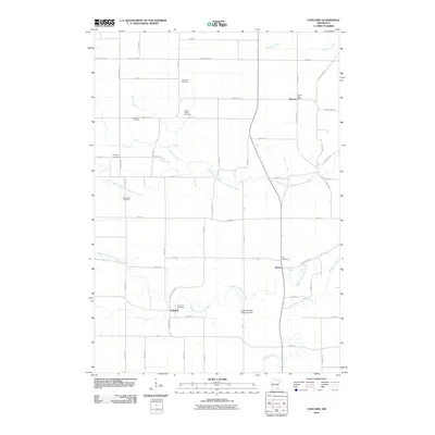
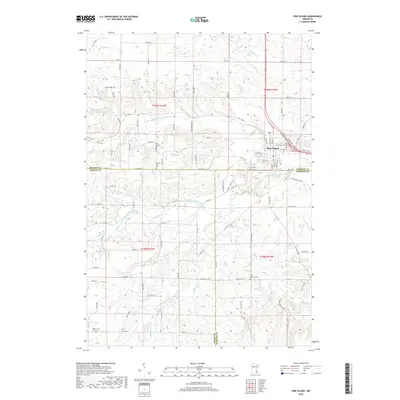
 2010 Pine Island2010 Print · USGSCovers Roscoe Township, including Pine Island, Pine Island Township, and other nearby areas
 - 2010 Map of Zumbrota, 2010 Print
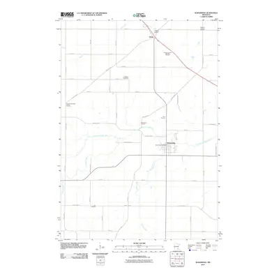
 2010 Zumbrota2010 Print · USGSCovers Roscoe Township, including Zumbrota, Minneola Township, and other nearby areas
 - 2010 Map of Wanamingo, 2010 Print
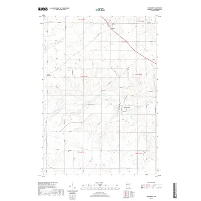
 2010 Wanamingo2010 Print · USGSCovers Roscoe Township, including Wanamingo, Aspelund, and other nearby areas
 - 2010 Map of Concord, 2010 Print
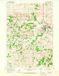
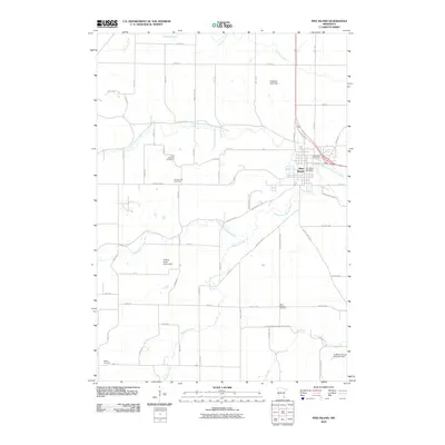
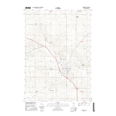
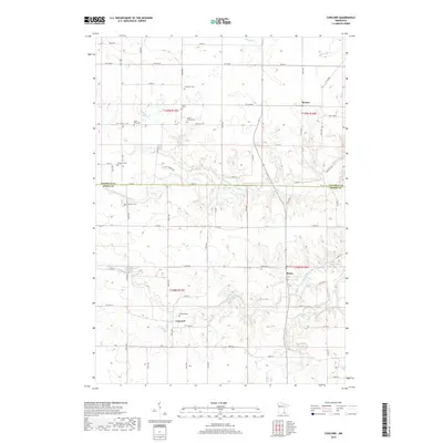
 2010 Concord2010 Print · USGSCovers Roscoe Township, including Roscoe, Concord, and other nearby areas
 - 2013 Map of Concord, 2013 Print
 2013 Concord2013 Print · USGSCovers Roscoe Township, including Roscoe, Concord, and other nearby areas
 - 2013 Map of Pine Island, 2013 Print
 2013 Pine Island2013 Print · USGSCovers Roscoe Township, including Pine Island, Pine Island Township, and other nearby areas
 - 2013 Map of Zumbrota, 2013 Print
 2013 Zumbrota2013 Print · USGSCovers Roscoe Township, including Zumbrota, Minneola Township, and other nearby areas
 - 2013 Map of Wanamingo, 2013 Print
 2013 Wanamingo2013 Print · USGSCovers Roscoe Township, including Wanamingo, Aspelund, and other nearby areas
 - 2016 Map of Wanamingo, 2016 Print
 2016 Wanamingo2016 Print · USGSCovers Roscoe Township, including Wanamingo, Aspelund, and other nearby areas
 - 2016 Map of Concord, 2016 Print
 2016 Concord2016 Print · USGSCovers Roscoe Township, including Roscoe, Concord, and other nearby areas
 - 2016 Map of Zumbrota, 2016 Print
 2016 Zumbrota2016 Print · USGSCovers Roscoe Township, including Zumbrota, Minneola Township, and other nearby areas
 - 2016 Map of Pine Island, 2016 Print
 2016 Pine Island2016 Print · USGSCovers Roscoe Township, including Pine Island, Pine Island Township, and other nearby areas
 - 2019 Map of Pine Island, 2019 Print
 2019 Pine Island2019 Print · USGSCovers Roscoe Township, including Pine Island, Pine Island Township, and other nearby areas
 - 2019 Map of Wanamingo, 2019 Print
 2019 Wanamingo2019 Print · USGSCovers Roscoe Township, including Wanamingo, Aspelund, and other nearby areas
 - 2019 Map of Concord, 2019 Print
 2019 Concord2019 Print · USGSCovers Roscoe Township, including Roscoe, Concord, and other nearby areas
 - 2019 Map of Zumbrota, 2019 Print
 2019 Zumbrota2019 Print · USGSCovers Roscoe Township, including Zumbrota, Minneola Township, and other nearby areas
 - 2022 Map of Wanamingo, 2022 Print
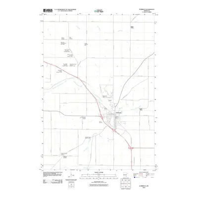
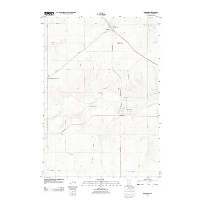
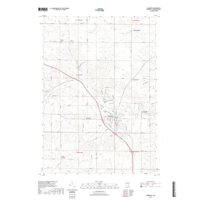
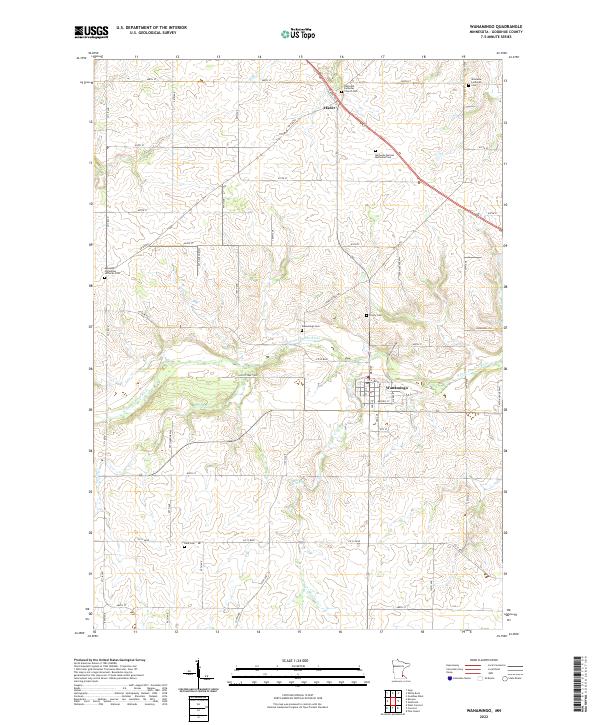 2022 Wanamingo2022 Print · USGSGoodhue County farmland in the early 2020s shows a landscape still anchored by its pioneer-era churchyards and river valleys. Genealogists can trace family names at Wanamingo Cem, Trinity Cem, and Dale Cem along the N Fork Zumbro River.
Showing maps 1-25 of 28
Top cities near Roscoe Township
- Rochester historical maps
- Kasson historical maps
- Byron historical maps
- Pine Island historical maps
- Zumbrota historical maps
- Dodge Center historical maps
See more
Top neighborhoods of Roscoe Township
Frequently asked questions
- What are the different types of historical maps available for Roscoe Township?
- What is the oldest map of Roscoe Township?
- Where can I purchase historical maps of Roscoe Township for my home or office?
- Where can I download high-res historical maps of Roscoe Township?
- Are there historical topographic maps available for Roscoe Township?
- Is there historical aerial imagery available for Roscoe Township?
- Where are historical maps of Roscoe Township sourced from?