2000s (21st Century) Maps of Fort Snelling Unorganized Territory, Minnesota
Explore 15 historic maps of Fort Snelling Unorganized Territory from the 2000s (21st Century). These maps offer a rare glimpse into what life looked like during the 2000s — showing old roads, neighborhoods, homes, and landmarks that have changed or disappeared over time.
Whether you're researching your family's past, planning a metal detecting trip, or studying how Fort Snelling Unorganized Territory's landscape evolved across the 2000s, these high-resolution maps are a powerful tool for exploring the history of this region.
- Focus on a specific era: All maps on this page are from the 2000s, giving you a focused view of this time period.
- See what’s changed: Compare century-old streets, trails, and buildings to today's modern landscape using overlays and satellite layers.
- Research with precision: Use these maps for genealogy, historical research, land use analysis, or educational projects.
- View, download, or print: Maps are fully viewable online in high resolution, and can be downloaded or printed for your own records.
Start exploring Fort Snelling Unorganized Territory's history through authentic maps from the 2000s. This is your window into the past.
Fort Snelling Unorganized Territory, MN maps
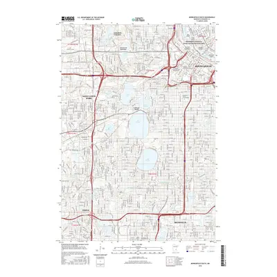
(15)- 2010 Map of Minneapolis South, 2010 Print
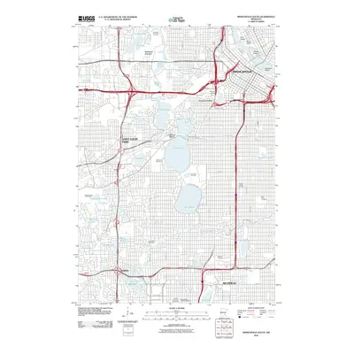 2010 Minneapolis South2010 Print · USGSCovers Fort Snelling Unorganized Territory, including Minneapolis, Saint Louis Park, and other nearby areas
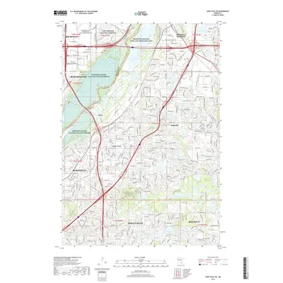
 - 2010 Map of Saint Paul West, 2010 Print
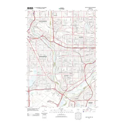
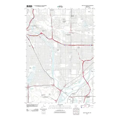 2010 Saint Paul West2010 Print · USGSCovers Fort Snelling Unorganized Territory, including Minneapolis, Saint Paul, and other nearby areas
 - 2010 Map of Saint Paul SW, 2010 Print
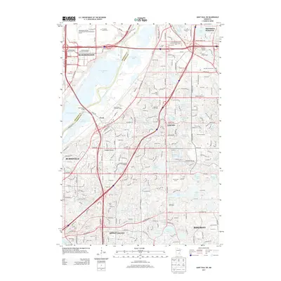
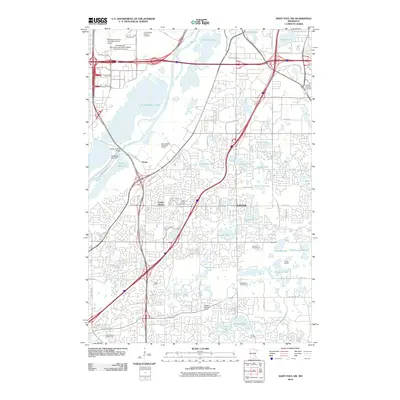 2010 Saint Paul SW2010 Print · USGSCovers Fort Snelling Unorganized Territory, including Bloomington, Eagan, and other nearby areas
 - 2013 Map of Minneapolis South, 2013 Print
 2013 Minneapolis South2013 Print · USGSCovers Fort Snelling Unorganized Territory, including Minneapolis, Saint Louis Park, and other nearby areas
 - 2013 Map of Saint Paul West, 2013 Print
 2013 Saint Paul West2013 Print · USGSCovers Fort Snelling Unorganized Territory, including Minneapolis, Saint Paul, and other nearby areas
 - 2013 Map of Saint Paul SW, 2013 Print
 2013 Saint Paul SW2013 Print · USGSCovers Fort Snelling Unorganized Territory, including Bloomington, Eagan, and other nearby areas
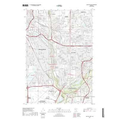
 - 2016 Map of Saint Paul West, 2016 Print
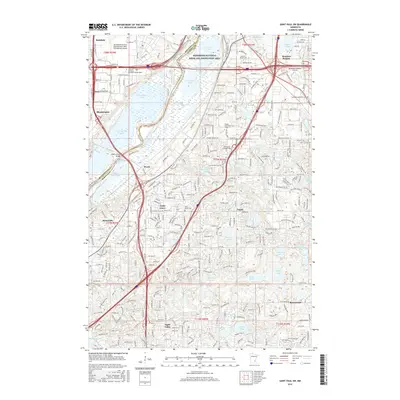
 2016 Saint Paul West2016 Print · USGSCovers Fort Snelling Unorganized Territory, including Minneapolis, Saint Paul, and other nearby areas
 - 2016 Map of Saint Paul SW, 2016 Print
 2016 Saint Paul SW2016 Print · USGSCovers Fort Snelling Unorganized Territory, including Bloomington, Eagan, and other nearby areas
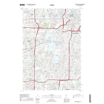
 - 2016 Map of Minneapolis South, 2016 Print
 2016 Minneapolis South2016 Print · USGSCovers Fort Snelling Unorganized Territory, including Minneapolis, Saint Louis Park, and other nearby areas
 - 2019 Map of Saint Paul SW, 2019 Print
 2019 Saint Paul SW2019 Print · USGSCovers Fort Snelling Unorganized Territory, including Bloomington, Eagan, and other nearby areas
 - 2019 Map of Minneapolis South, 2019 Print
 2019 Minneapolis South2019 Print · USGSCovers Fort Snelling Unorganized Territory, including Minneapolis, Saint Louis Park, and other nearby areas
 - 2019 Map of Saint Paul West, 2019 Print
 2019 Saint Paul West2019 Print · USGSCovers Fort Snelling Unorganized Territory, including Minneapolis, Saint Paul, and other nearby areas
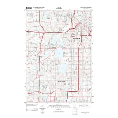
 - 2022 Map of Minneapolis South, 2022 Print
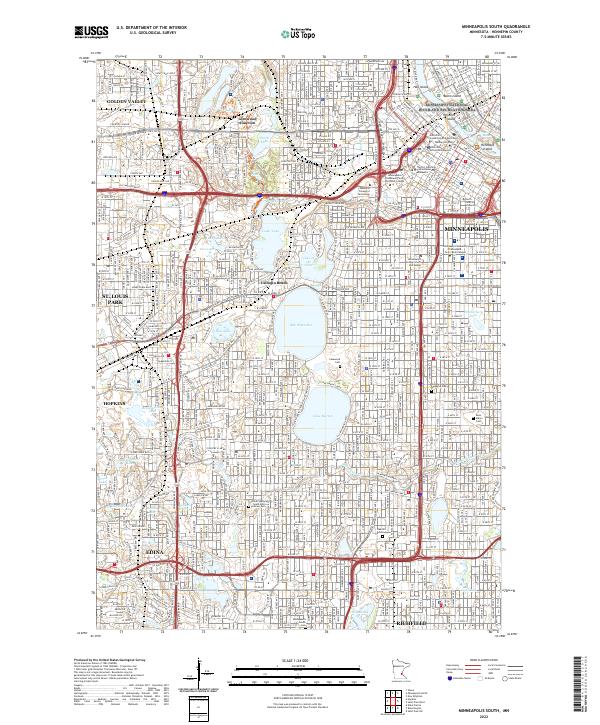 2022 Minneapolis South2022 Print · USGSThe Minneapolis lake district and Mississippi riverfront are captured here in the early 2020s, showing a densely developed urban core and its southern suburbs. Researchers can locate significant burial grounds like Lakewood Cemetery and trace the shores of Bde Maka Ska and Lake Harriet.
 - 2022 Map of Saint Paul West, 2022 Print
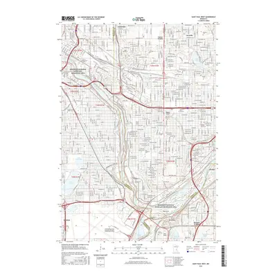
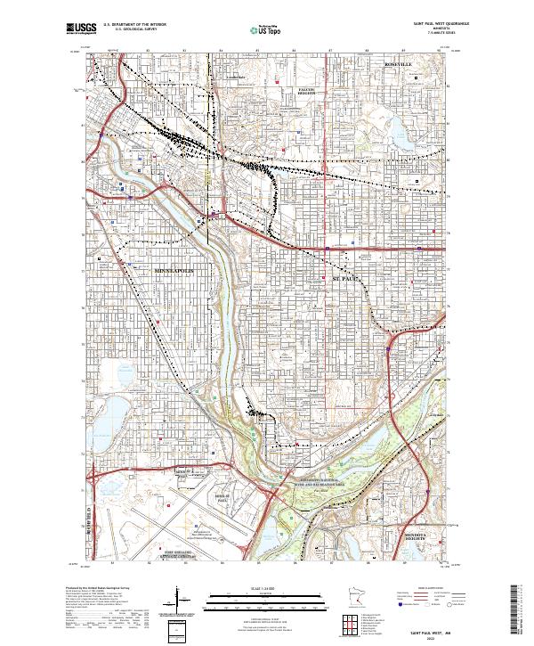 2022 Saint Paul West2022 Print · USGSThe Twin Cities riverfront comes alive in the 2020s, showing the dense corridor of universities and parklands along the Mississippi River. Genealogists and historians can locate final resting places at Fort Snelling National Cemetery or the venerable Pioneers and Soldiers Memorial Cem.
 - 2022 Map of Saint Paul SW, 2022 Print
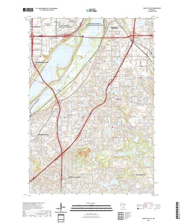 2022 Saint Paul SW2022 Print · USGSThe south-central Twin Cities suburbs are captured here at a moment of significant growth and conservation in the early 2020s. Researchers can locate family sites near Trinity Lone Oak Cem or trace the wetland borders of the Minnesota Valley National Wildlife Refuge.
End of results
Showing maps 1-15 of 15
Top cities near Fort Snelling Unorganized Territory
- Minneapolis historical maps
- Saint Paul historical maps
- Bloomington historical maps
- Brooklyn Park historical maps
- Plymouth historical maps
- Eagan historical maps
See more
Frequently asked questions
- What are the different types of historical maps available for Fort Snelling Unorganized Territory?
- What is the oldest map of Fort Snelling Unorganized Territory?
- Where can I purchase historical maps of Fort Snelling Unorganized Territory for my home or office?
- Where can I download high-res historical maps of Fort Snelling Unorganized Territory?
- Are there historical topographic maps available for Fort Snelling Unorganized Territory?
- Is there historical aerial imagery available for Fort Snelling Unorganized Territory?
- Where are historical maps of Fort Snelling Unorganized Territory sourced from?