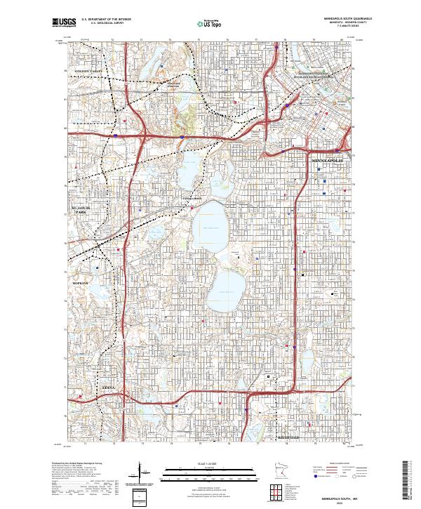
2022 Map of Minneapolis South
USGS Topo · Published 2022About this map
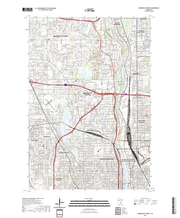
The Mississippi River and its urban chain of lakes define the geography of this Minneapolis metropolitan landscape. From the industrial and recreational corridor of the Mississippi National River and Recreation Area near Nicollet Island, the map traces a dense grid of neighborhoods south through Minneapolis and into the suburbs of Edina and Richfield. Highlighting the era's focus on cultural and educational institutions, the map identifies hubs like the Minneapolis College of Art and Design and the Dunwoody College of Technology. Significant open space is preserved through a series of large water bodies and memorial grounds, including Bde Maka Ska, Lake Harriet, and the expansive Lakewood Cemetery. Notable for genealogists are the numerous burial sites like Saint Mary's Cemetery and the Minneapolis Jewish Cemetery, providing a detailed record of the community's spiritual and social history.
Find a feature on this map
132 named features on this map. Tap any name to fly to it.
Don’t see what you’re looking for? This feature index may not catch every label — zoom into the map to look around manually.
Map Details
Editions of this 2022 Minneapolis South Map
This is the sole edition of this map. No revisions or reprints were ever made.
Historical Maps of Fort Snelling Unorganized Territory Through Time
9 maps found
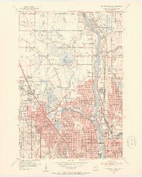
1952 Minneapolis North
Hennepin County, MN
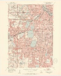
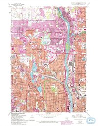
1952 Minneapolis South
Hennepin County, MN
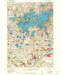
1958 Lake Minnetonka
Hennepin County, MN
1967 Minneapolis North
Hennepin County, MN
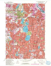
1967 Minneapolis South
Hennepin County, MN
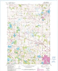
1981 Hamel
Hennepin County, MN
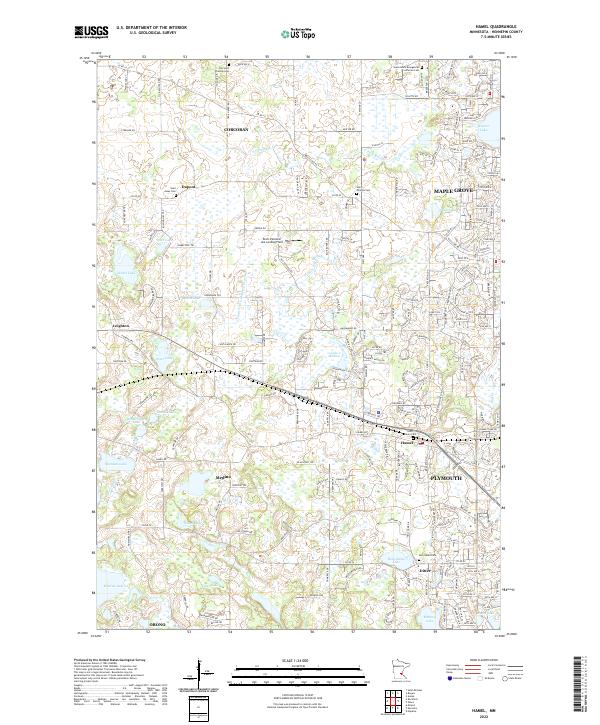
2022 Hamel
Hennepin County, MN
2022 Minneapolis North
Hennepin County, MN
2022 Minneapolis South
Hennepin County, MN