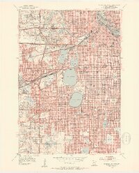
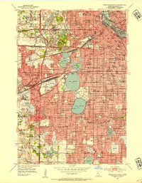
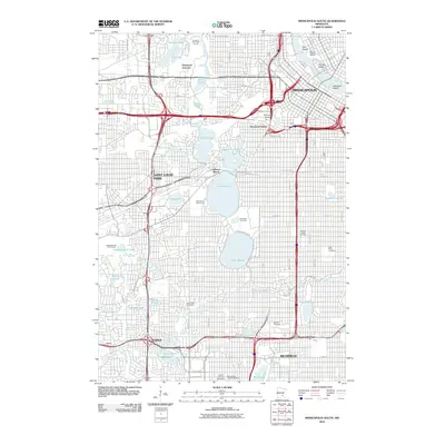
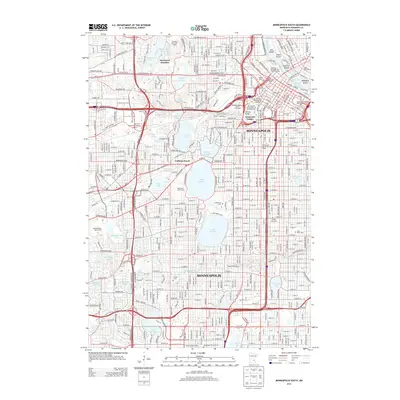
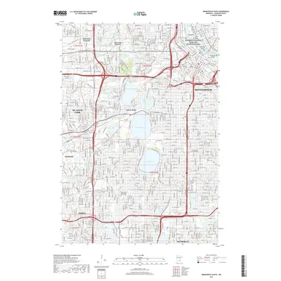
1952 Map of Minneapolis South
USGS Topo · Published 1954About this map
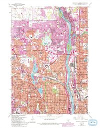
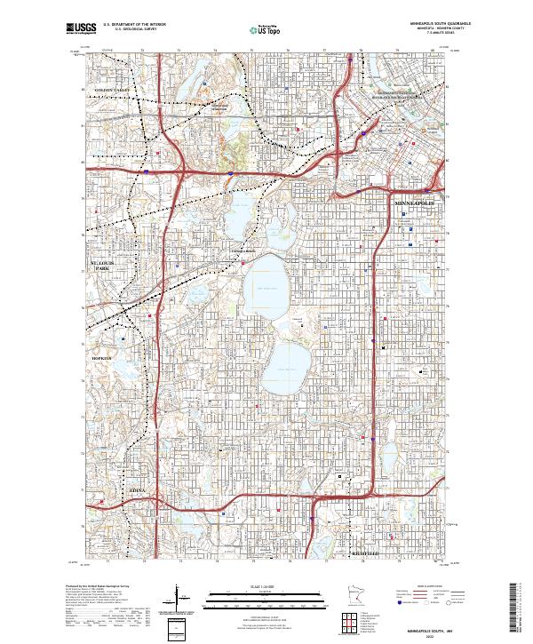
Lake Calhoun, Lake Harriet, and Cedar Lake anchor the central landscape of this early 1950s urban survey, illustrating the sophisticated integration of water and parkland within the growing city. The residential expansion of Edina, Morningside, and St Louis Park is well underway, yet several gravel pits and substantial undeveloped tracts like Bryn Mawr Meadows still mark the transition between the dense downtown core and the emerging suburbs.
Find a feature on this map
157 named features on this map. Tap any name to fly to it.
Don’t see what you’re looking for? This feature index may not catch every label — zoom into the map to look around manually.
Map Details
Editions of this 1952 Minneapolis South Map
2 editions found
Historical Maps of Minneapolis Through Time
21 maps found
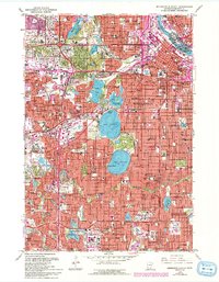
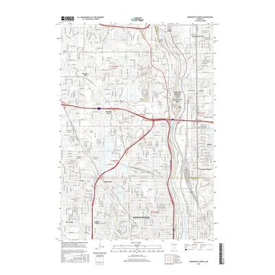
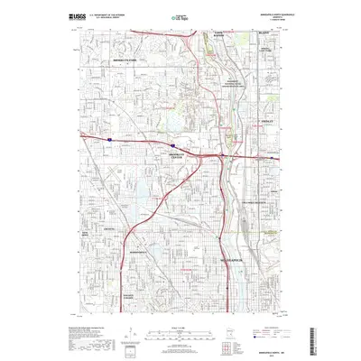
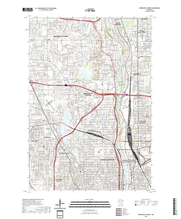
1952 Minneapolis North
Hennepin County, MN
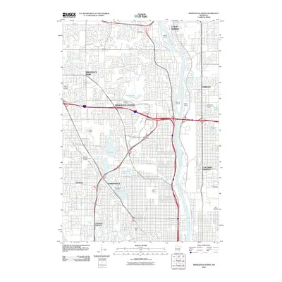
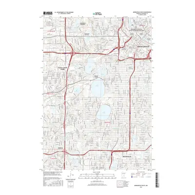
1952 Minneapolis South
Hennepin County, MN
1958 Lake Minnetonka
Hennepin County, MN
1967 Minneapolis North
Hennepin County, MN
1967 Minneapolis South
Hennepin County, MN
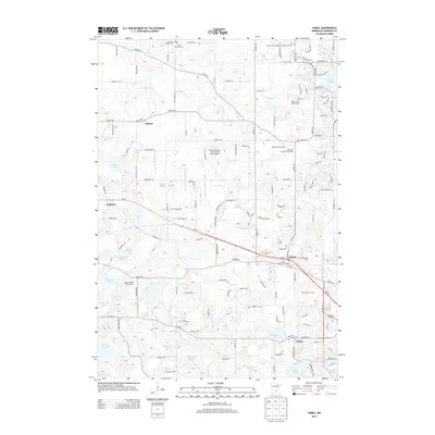
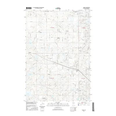
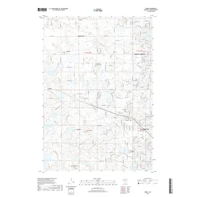
1981 Hamel
Hennepin County, MN
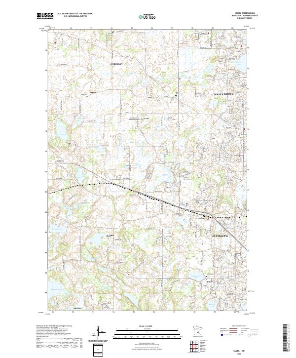
2010 Hamel
Hennepin County, MN
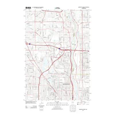
2010 Minneapolis North
Hennepin County, MN
2010 Minneapolis South
Hennepin County, MN
2013 Hamel
Hennepin County, MN
2013 Minneapolis North
Hennepin County, MN
2013 Minneapolis South
Hennepin County, MN
2016 Hamel
Hennepin County, MN
2016 Minneapolis North
Hennepin County, MN
2016 Minneapolis South
Hennepin County, MN
2019 Hamel
Hennepin County, MN
2019 Minneapolis North
Hennepin County, MN
2019 Minneapolis South
Hennepin County, MN
2022 Hamel
Hennepin County, MN
2022 Minneapolis North
Hennepin County, MN
2022 Minneapolis South
Hennepin County, MN