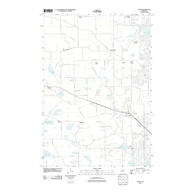
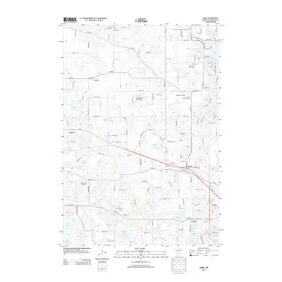
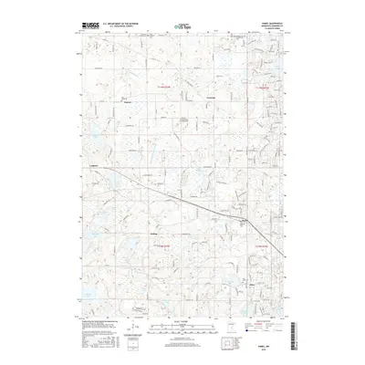
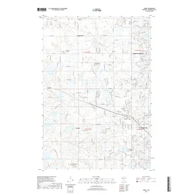
2022 Map of Hamel
USGS Topo · Published 2022About this map
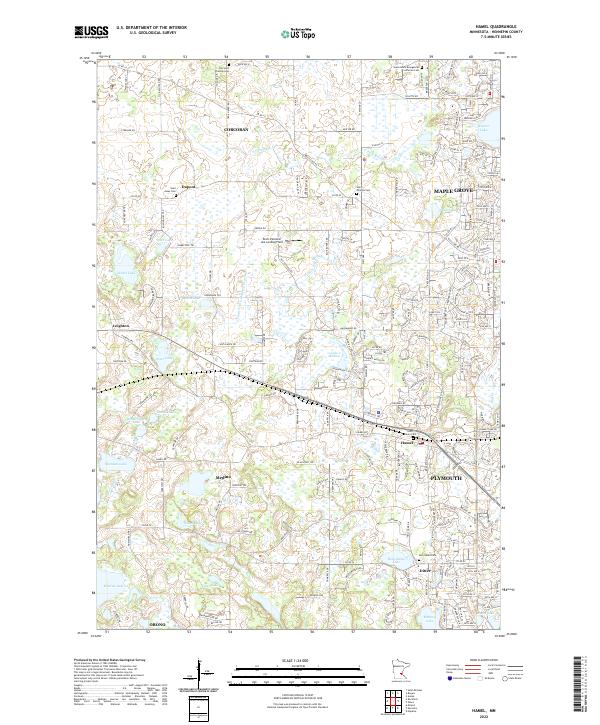
Corcoran and Medina anchor this survey of western Hennepin County, showing a landscape defined by an intricate network of wetlands and small lakes. The area exhibits a significant concentration of early community landmarks, particularly through its numerous cemeteries such as Old Saint Thomas Cem and Saint Anne's Cem near the settlement of Hamel. These sites, along with Saint James Cem near Dupont, offer essential touchpoints for genealogical research in this part of Minnesota.
Find a feature on this map
188 named features on this map. Tap any name to fly to it.
Don’t see what you’re looking for? This feature index may not catch every label — zoom into the map to look around manually.
Map Details
Editions of this 2022 Hamel Map
This is the sole edition of this map. No revisions or reprints were ever made.
Historical Maps of Plymouth Through Time
21 maps found
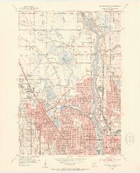
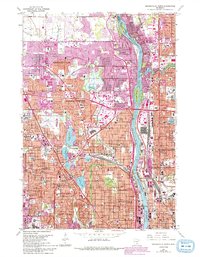
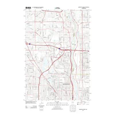
1952 Minneapolis North
Hennepin County, MN
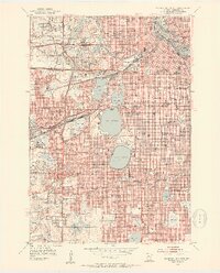
1952 Minneapolis South
Hennepin County, MN
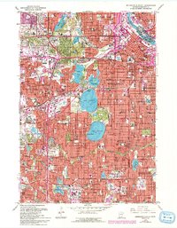
1958 Lake Minnetonka
Hennepin County, MN
1967 Minneapolis North
Hennepin County, MN
1967 Minneapolis South
Hennepin County, MN
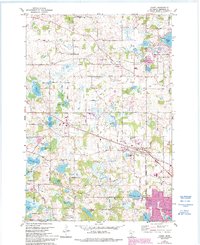
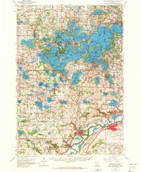
1981 Hamel
Hennepin County, MN
2010 Hamel
Hennepin County, MN
2010 Minneapolis North
Hennepin County, MN
2010 Minneapolis South
Hennepin County, MN
2013 Hamel
Hennepin County, MN
2013 Minneapolis North
Hennepin County, MN
2013 Minneapolis South
Hennepin County, MN
2016 Hamel
Hennepin County, MN
2016 Minneapolis North
Hennepin County, MN
2016 Minneapolis South
Hennepin County, MN
2019 Hamel
Hennepin County, MN
2019 Minneapolis North
Hennepin County, MN
2019 Minneapolis South
Hennepin County, MN
2022 Hamel
Hennepin County, MN
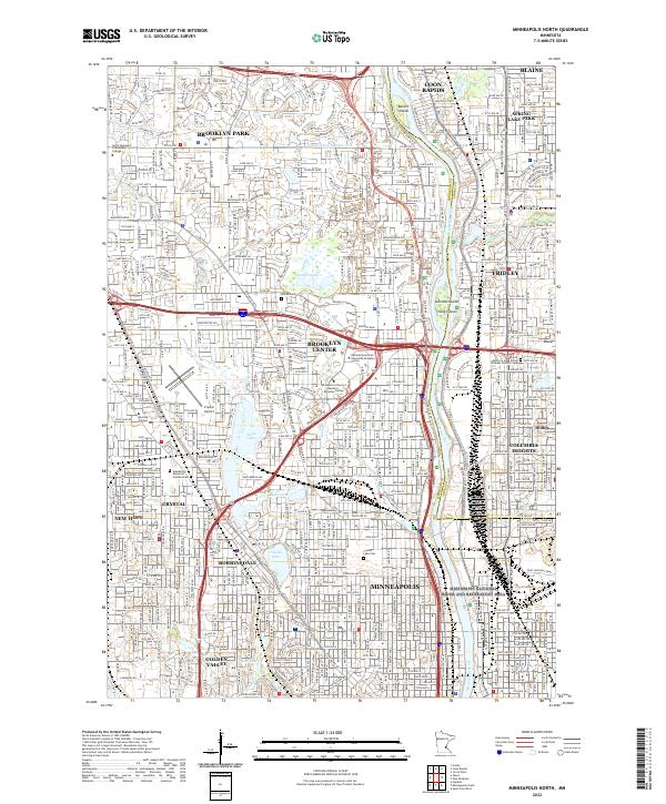
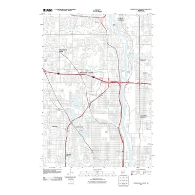
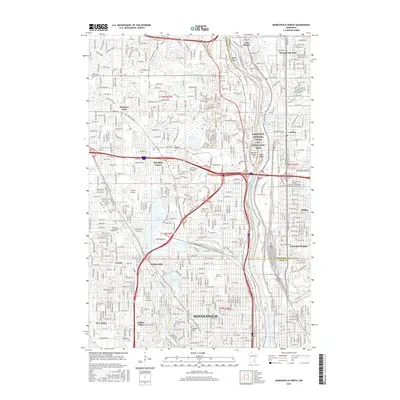
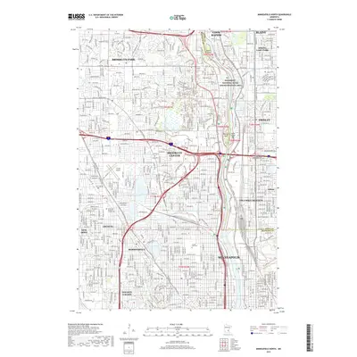
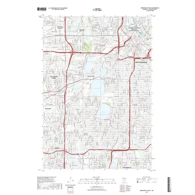
2022 Minneapolis North
Hennepin County, MN
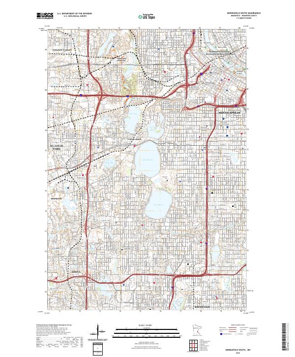
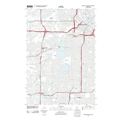
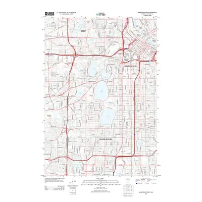
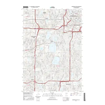
2022 Minneapolis South
Hennepin County, MN