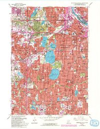
1967 Map of Minneapolis South
USGS Topo · Published 1993About this map
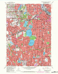
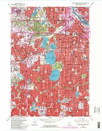
St Anthony Falls and the Mississippi River anchor the northeastern corner of this urban landscape, where the bustling center of Minneapolis gives way to its famous chain of lakes. This late-1960s perspective captures a period of intense highway development, showing Interstate 35W and Interstate 94 cutting through established neighborhoods. To the south and west, the suburban expansion of Edina and Richfield is in full swing, centered around landmarks like the Southdale Shopping Center.
Find a feature on this map
119 named features on this map. Tap any name to fly to it.
Don’t see what you’re looking for? This feature index may not catch every label — zoom into the map to look around manually.
Map Details
Editions of this 1967 Minneapolis South Map
6 editions found
Other maps of this area

1896 · Minneapolis
USGS Topo · 1:62,500

1896 · St. Paul
USGS Topo · 1:62,500

1901 · Minneapolis
USGS Topo · 1:62,500

1902 · White Bear
USGS Topo · 1:62,500

1902 · Anoka
USGS Topo · 1:62,500

1951 · St. Paul West
USGS Topo · 1:24,000

1951 · St. Paul SW
USGS Topo · 1:24,000

1951 · St. Paul
USGS Topo · 1:62,500

1952 · Minneapolis North
USGS Topo · 1:24,000

1952 · Minneapolis South
USGS Topo · 1:24,000