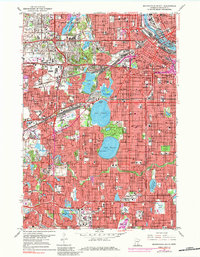
1967 Map of Minneapolis South
USGS Topo · Published 1984About this map
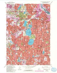
The Mississippi River anchors the northeastern corner of this urban landscape, where the core of Minneapolis gives way to a sprawling network of residential neighborhoods and prominent parklands. The city's famous Chain of Lakes is a central focus, featuring the connected waters of Lake of the Isles, Lake Calhoun, and Lake Harriet, flanked by established institutions like Lakewood Cemetery and the Minikahda Golf Course. This mid-century view captures the heavy development of southern suburbs, including St Louis Park, Edina, and Richfield, all tied together by a dense grid of surface streets and emerging freeway corridors.
Find a feature on this map
75 named features on this map. Tap any name to fly to it.
Don’t see what you’re looking for? This feature index may not catch every label — zoom into the map to look around manually.
Map Details
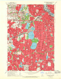
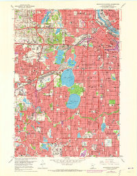
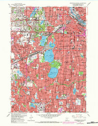
Editions of this 1967 Minneapolis South Map
6 editions found

Other maps of this area

1896 · Minneapolis
USGS Topo · 1:62,500

1896 · St. Paul
USGS Topo · 1:62,500

1901 · Minneapolis
USGS Topo · 1:62,500

1902 · White Bear
USGS Topo · 1:62,500

1902 · Anoka
USGS Topo · 1:62,500

1951 · St. Paul West
USGS Topo · 1:24,000

1951 · St. Paul SW
USGS Topo · 1:24,000

1951 · St. Paul
USGS Topo · 1:62,500

1952 · Minneapolis North
USGS Topo · 1:24,000

1952 · Minneapolis South
USGS Topo · 1:24,000