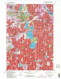
1967 Map of Minneapolis South
USGS Topo · Published 1993About this map
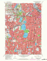
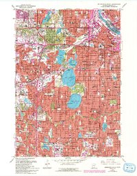
The Mississippi River defines the northeastern boundary of this metropolitan landscape, which showcases the established residential and recreational patterns of the late 1960s. The region is characterized by its prominent chain of lakes, including Lake of the Isles, Lake Calhoun, and Lake Harriet, which serve as central focal points for the surrounding neighborhoods of Minneapolis, St Louis Park, and Edina. Significant cultural and institutional landmarks are densely clustered here, from the expansive grounds of Lakewood Cemetery to the Academy of the Holy Angels and numerous local schools like Washburn High Sch.
Find a feature on this map
114 named features on this map. Tap any name to fly to it.
Don’t see what you’re looking for? This feature index may not catch every label — zoom into the map to look around manually.
Map Details
Editions of this 1967 Minneapolis South Map
6 editions found
Other maps of this area

1896 · Minneapolis
USGS Topo · 1:62,500

1896 · St. Paul
USGS Topo · 1:62,500

1901 · Minneapolis
USGS Topo · 1:62,500

1902 · White Bear
USGS Topo · 1:62,500

1902 · Anoka
USGS Topo · 1:62,500

1951 · St. Paul West
USGS Topo · 1:24,000

1951 · St. Paul SW
USGS Topo · 1:24,000

1951 · St. Paul
USGS Topo · 1:62,500

1952 · Minneapolis North
USGS Topo · 1:24,000

1952 · Minneapolis South
USGS Topo · 1:24,000