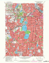
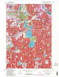
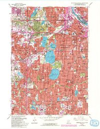
1967 Map of Minneapolis South
USGS Topo · Published 1984About this map
Mississippi River industry and the evolving urban landscape of the Twin Cities define this mid-century period, showing the transition from a rail-heavy river economy to the era of interstate expansion. The northern edge highlights the power of St Anthony Falls and the complex rail networks of the Great Northern and Milwaukee and St Paul, which served the flour milling and manufacturing districts. South of downtown, the residential character of the city is anchored by the Chain of Lakes, including Lake Calhoun and Lake Harriet, flanked by significant sites like Lakewood Cemetery. The map also captures the sprawling growth of western and southern suburbs such as St Louis Park and Edina, where modern infrastructure like the Minneapolis-St Paul International Airport and the newly developed Southdale shopping center began to reshape the region’s geography.
Find a feature on this map
91 named features on this map. Tap any name to fly to it.
Don’t see what you’re looking for? This feature index may not catch every label — zoom into the map to look around manually.
Map Details
Editions of this 1967 Minneapolis South Map
6 editions found
Other maps of this area

1896 · Minneapolis
USGS Topo · 1:62,500

1896 · St. Paul
USGS Topo · 1:62,500

1901 · Minneapolis
USGS Topo · 1:62,500

1902 · White Bear
USGS Topo · 1:62,500

1902 · Anoka
USGS Topo · 1:62,500

1951 · St. Paul West
USGS Topo · 1:24,000

1951 · St. Paul SW
USGS Topo · 1:24,000

1951 · St. Paul
USGS Topo · 1:62,500

1952 · Minneapolis North
USGS Topo · 1:24,000

1952 · Minneapolis South
USGS Topo · 1:24,000