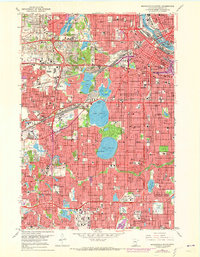
1967 Map of Minneapolis South
USGS Topo · Published 1973About this map
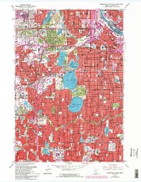
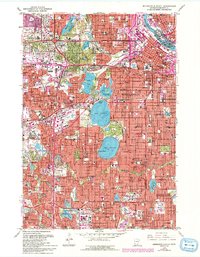
Minneapolis and its southwestern neighbors undergo significant post-war expansion in this late 1960s survey, updated with purple photorevisions from the early 1970s. The urban fabric is defined by its famous chain of lakes, including Lake Calhoun, Lake Harriet, and Lake of the Isles, surrounded by established residential districts like Morningside and Edina Highlands. The industrial and transportation corridors of the Great Northern and the Chicago Milwaukee St Paul and Pacific railroads intersect the grid, while the newly developed interstate system begins to reshape the movement of the Twin Cities.
Find a feature on this map
98 named features on this map. Tap any name to fly to it.
Don’t see what you’re looking for? This feature index may not catch every label — zoom into the map to look around manually.
Map Details
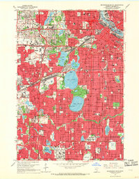
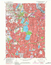
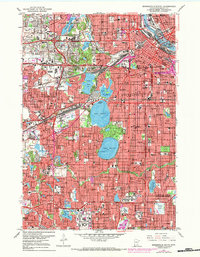
Editions of this 1967 Minneapolis South Map
6 editions found
Other maps of this area

1896 · Minneapolis
USGS Topo · 1:62,500

1896 · St. Paul
USGS Topo · 1:62,500

1901 · Minneapolis
USGS Topo · 1:62,500

1902 · White Bear
USGS Topo · 1:62,500

1902 · Anoka
USGS Topo · 1:62,500

1951 · St. Paul West
USGS Topo · 1:24,000

1951 · St. Paul SW
USGS Topo · 1:24,000

1951 · St. Paul
USGS Topo · 1:62,500

1952 · Minneapolis North
USGS Topo · 1:24,000

1952 · Minneapolis South
USGS Topo · 1:24,000