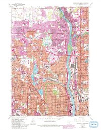
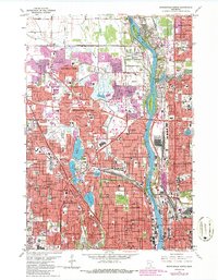
1967 Map of Minneapolis North
USGS Topo · Published 1993About this map
The Mississippi River divides this landscape of mid-century suburban expansion, flowing past Banfill Island and Dunham Island as it marks the boundary between Anoka and Hennepin counties. Large industrial and infrastructure footprints define the era, notably the Northern Ordnance Plant near the river and the Crystal Airport further west. In Minneapolis and its surrounding communities like Robbinsdale and Brooklyn Center, the grid of residential streets is punctuated by numerous parochial schools and churches, including Our Lady of Victory Sch and St Bridget Sch. This 1967 revision shows the maturing transit networks of the post-war period, including the prominent Victory Memorial Drive and the Soo Line railroad corridors that supported the region's industrial growth.
Find a feature on this map
116 named features on this map. Tap any name to fly to it.
Don’t see what you’re looking for? This feature index may not catch every label — zoom into the map to look around manually.
Map Details
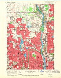
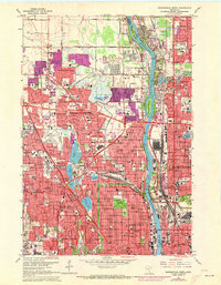
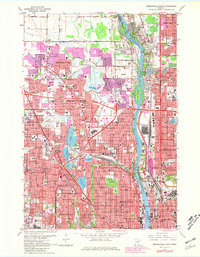
Editions of this 1967 Minneapolis North Map
5 editions found
Other maps of this area

1896 · Minneapolis
USGS Topo · 1:62,500

1896 · St. Paul
USGS Topo · 1:62,500

1901 · Minneapolis
USGS Topo · 1:62,500

1902 · White Bear
USGS Topo · 1:62,500

1902 · Anoka
USGS Topo · 1:62,500

1951 · St. Paul West
USGS Topo · 1:24,000

1951 · St. Paul
USGS Topo · 1:62,500

1952 · Minneapolis North
USGS Topo · 1:24,000

1952 · Minneapolis South
USGS Topo · 1:24,000

1952 · New Brighton
USGS Topo · 1:24,000