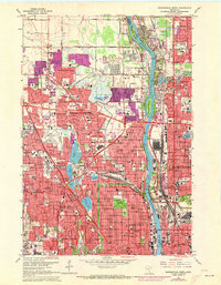
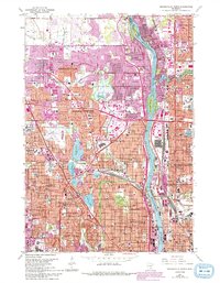
1967 Map of Minneapolis North
USGS Topo · Published 1973About this map
The Mississippi River carves through this late 1960s suburban landscape, separating the residential expansions of Brooklyn Park and Fridley. Massive industrial and infrastructure footprints define the riverbank, notably the Northern Ordnance Plant and a series of waterworks facilities. Purple overprinting highlights the rapid urbanization occurring as housing tracts push into formerly open spaces near Palmer Lake and along the Shingle Creek corridor.
Find a feature on this map
118 named features on this map. Tap any name to fly to it.
Don’t see what you’re looking for? This feature index may not catch every label — zoom into the map to look around manually.
Map Details
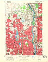
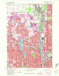
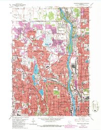
Editions of this 1967 Minneapolis North Map
5 editions found
Other maps of this area

1896 · Minneapolis
USGS Topo · 1:62,500

1896 · St. Paul
USGS Topo · 1:62,500

1901 · Minneapolis
USGS Topo · 1:62,500

1902 · White Bear
USGS Topo · 1:62,500

1902 · Anoka
USGS Topo · 1:62,500

1951 · St. Paul West
USGS Topo · 1:24,000

1951 · St. Paul
USGS Topo · 1:62,500

1952 · Minneapolis North
USGS Topo · 1:24,000

1952 · Minneapolis South
USGS Topo · 1:24,000

1952 · New Brighton
USGS Topo · 1:24,000