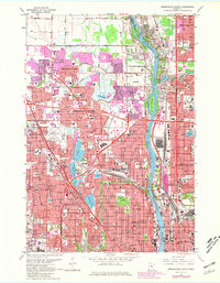
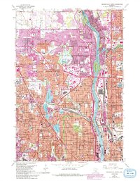
1967 Map of Minneapolis North
USGS Topo · Published 1981About this map
The Mississippi River serves as the central artery for this urbanizing landscape, flowing past Banfill Island and Durnam Island as it separates the industrial and residential corridors of Minneapolis and Fridley. During this era of post-war expansion, suburban growth is visible across Brooklyn Center and Brooklyn Park, where new housing developments are indicated by purple-tinted overprints. The region is heavily shaped by transport and industry, from the complex rail networks of the Soo Line and Burlington Northern to the significant footprint of the Northern Ordnance Plant near the riverbank.
Find a feature on this map
119 named features on this map. Tap any name to fly to it.
Don’t see what you’re looking for? This feature index may not catch every label — zoom into the map to look around manually.
Map Details
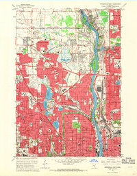
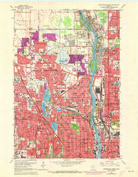
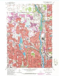
Editions of this 1967 Minneapolis North Map
5 editions found
Other maps of this area

1896 · Minneapolis
USGS Topo · 1:62,500

1896 · St. Paul
USGS Topo · 1:62,500

1901 · Minneapolis
USGS Topo · 1:62,500

1902 · White Bear
USGS Topo · 1:62,500

1902 · Anoka
USGS Topo · 1:62,500

1951 · St. Paul West
USGS Topo · 1:24,000

1951 · St. Paul
USGS Topo · 1:62,500

1952 · Minneapolis North
USGS Topo · 1:24,000

1952 · Minneapolis South
USGS Topo · 1:24,000

1952 · New Brighton
USGS Topo · 1:24,000