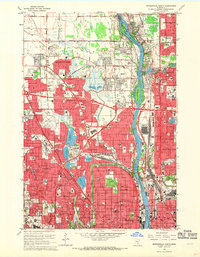
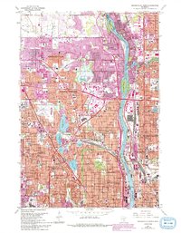
1967 Map of Minneapolis North
USGS Topo · Published 1969About this map
The Mississippi River serves as the primary geographical anchor for this suburban landscape during a period of rapid post-war expansion. Navigating the boundary between Hennepin and Anoka counties, the map captures the transition from open land to dense residential development. Large industrial and infrastructure sites like the Northern Ordnance Plant and the Pumping Station near Durnam Island highlight the importance of the river corridor to the regional economy and public works.
Find a feature on this map
120 named features on this map. Tap any name to fly to it.
Don’t see what you’re looking for? This feature index may not catch every label — zoom into the map to look around manually.
Map Details
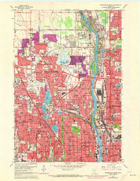
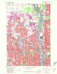
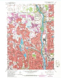
Editions of this 1967 Minneapolis North Map
5 editions found
Other maps of this area

1896 · Minneapolis
USGS Topo · 1:62,500

1896 · St. Paul
USGS Topo · 1:62,500

1901 · Minneapolis
USGS Topo · 1:62,500

1902 · White Bear
USGS Topo · 1:62,500

1902 · Anoka
USGS Topo · 1:62,500

1951 · St. Paul West
USGS Topo · 1:24,000

1951 · St. Paul
USGS Topo · 1:62,500

1952 · Minneapolis North
USGS Topo · 1:24,000

1952 · Minneapolis South
USGS Topo · 1:24,000

1952 · New Brighton
USGS Topo · 1:24,000