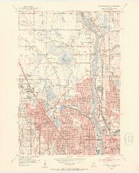
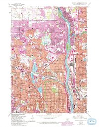
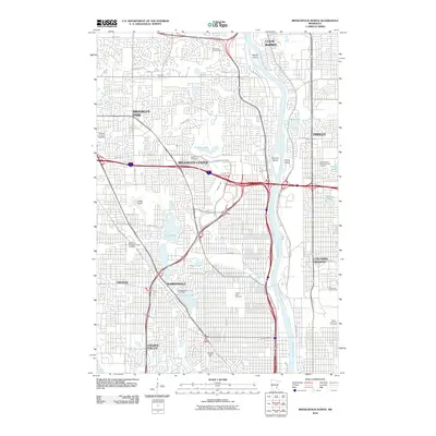
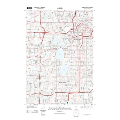
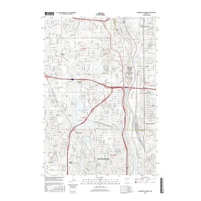
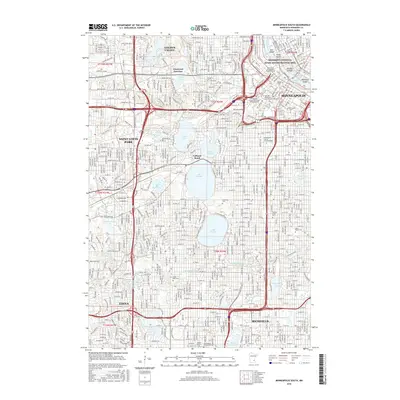
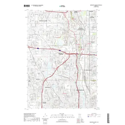
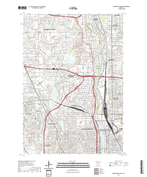
1952 Map of Minneapolis North
USGS Topo · Published 1954About this map
The Mississippi River divides the growing suburban landscape of northern Hennepin and Anoka Counties in this early 1950s survey. The west bank is characterized by the rapid post-war expansion of Robbinsdale, Crystal, and Brooklyn Center, where residential grids are interrupted by several prominent bodies of water including Crystal Lake and the Twin Lakes. This era captures a transition from agricultural roots to industrial and residential development, evidenced by the presence of the Northern Ordnance Plant and the Crystal Airport.
Find a feature on this map
98 named features on this map. Tap any name to fly to it.
Don’t see what you’re looking for? This feature index may not catch every label — zoom into the map to look around manually.
Map Details
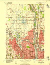
Editions of this 1952 Minneapolis North Map
2 editions found
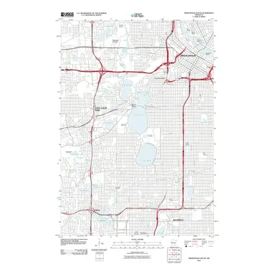
Historical Maps of Minneapolis Through Time
21 maps found
1952 Minneapolis North
Hennepin County, MN
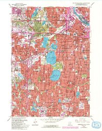
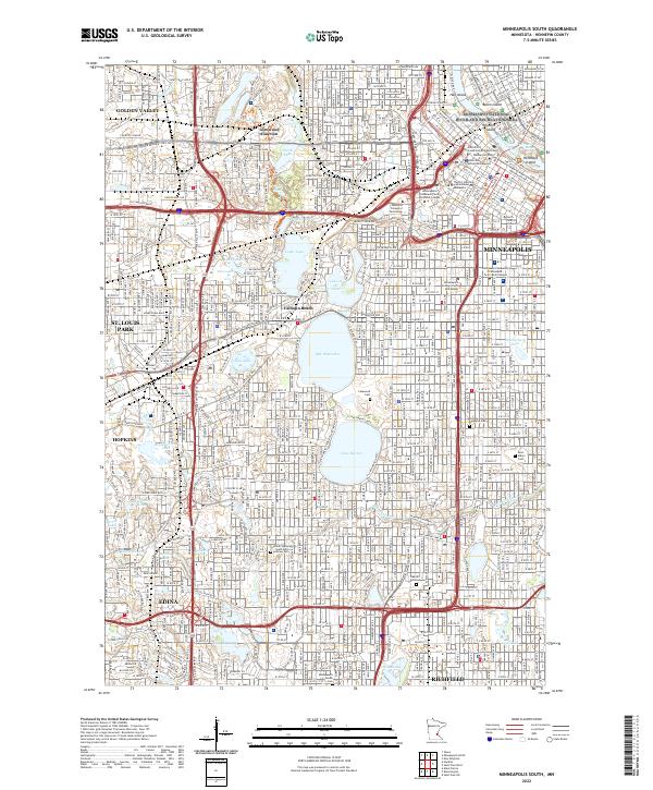
1952 Minneapolis South
Hennepin County, MN
1958 Lake Minnetonka
Hennepin County, MN
1967 Minneapolis North
Hennepin County, MN
1967 Minneapolis South
Hennepin County, MN
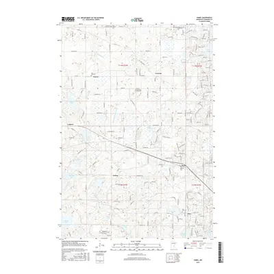
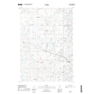
1981 Hamel
Hennepin County, MN
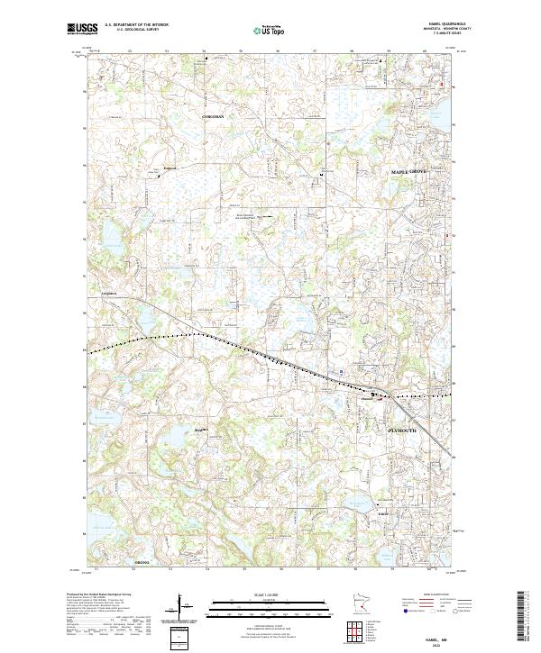
2010 Hamel
Hennepin County, MN
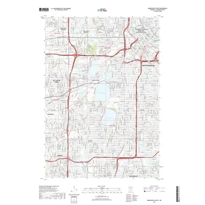
2010 Minneapolis North
Hennepin County, MN
2010 Minneapolis South
Hennepin County, MN
2013 Hamel
Hennepin County, MN
2013 Minneapolis North
Hennepin County, MN
2013 Minneapolis South
Hennepin County, MN
2016 Hamel
Hennepin County, MN
2016 Minneapolis North
Hennepin County, MN
2016 Minneapolis South
Hennepin County, MN
2019 Hamel
Hennepin County, MN
2019 Minneapolis North
Hennepin County, MN
2019 Minneapolis South
Hennepin County, MN
2022 Hamel
Hennepin County, MN
2022 Minneapolis North
Hennepin County, MN
2022 Minneapolis South
Hennepin County, MN