Old Maps of Alpha, Minnesota for Hiking & Exploration
Hike through history with 9 historic maps of Alpha. Explore old trails, ghost towns, and forgotten backroads — perfect for outdoor adventurers and local explorers.
- Rediscover forgotten places: Map out old mining camps, roads, and footpaths that no longer exist on modern maps.
- Layer with modern tools: Combine with LiDAR or satellite views to plan hikes through historical terrain.
- Made for exploration: Popular among hikers, overlanders, and local history lovers.
Use these maps to find adventure and explore the hidden past of Alpha.
Alpha, MN maps
(9)- 1954 Map of Fairmont, 1967 Print
 1954 Fairmont1967 Print · USGSThe prairie landscape of southern Minnesota and northern Iowa comes alive in this mid-century survey of the Coteau des Prairies. Genealogists and historians can trace the rail-connected growth of Fairmont and Blue Earth or locate family roots near St Kilian Ch and Union Slough National Wildlife Refuge.3 unique versions available
 - 1958 Map of Fairmont
 1958 Fairmont1958 Print · USGSThe borderlands of southern Minnesota and northern Iowa come alive in the mid-1950s, showing a landscape defined by glacial lakes and rail-line commerce. Researchers can trace historic landmarks like Lakeside Laboratory, Gridley Station, and the Bancroft Wildlife Refuge across the prairie.
 - 1970 Map of Alpha, 1972 Print
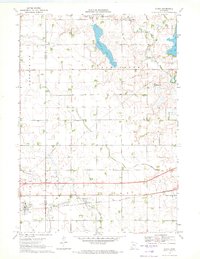 1970 Alpha1972 Print · USGSThe village of Alpha and its surrounding prairie landscape are captured here in the early 1970s, showcasing a rural economy built on rail and water management. Researchers can trace the Chicago Milwaukee St Paul and Pacific line and family-scale operations like the numerous Gravel Pits near Watkins Lake.
 - 1985 Map of Fairmont, 1991 Print
 1985 Fairmont1991 Print · USGSSouthern Minnesota in the mid-eighties shows a robust network of prairie towns and rail-connected agricultural hubs. Genealogists can trace family footprints across Rolling Green and Manyaska or locate old homesteads near Fox Lake and the Chicago & North Western line.
 - 2010 Map of Alpha, 2010 Print
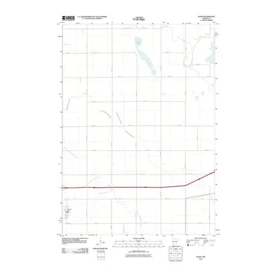 2010 Alpha2010 Print · USGSCovers Alpha, including Martin County, Jackson County, and other nearby areas
 - 2013 Map of Alpha, 2013 Print
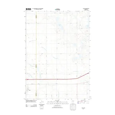 2013 Alpha2013 Print · USGSCovers Alpha, including Martin County, Jackson County, and other nearby areas
 - 2016 Map of Alpha, 2016 Print
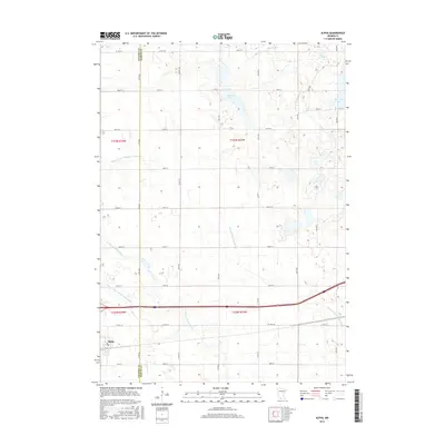 2016 Alpha2016 Print · USGSCovers Alpha, including Martin County, Jackson County, and other nearby areas
 - 2019 Map of Alpha, 2019 Print
 2019 Alpha2019 Print · USGSCovers Alpha, including Martin County, Jackson County, and other nearby areas
 - 2022 Map of Alpha, 2022 Print
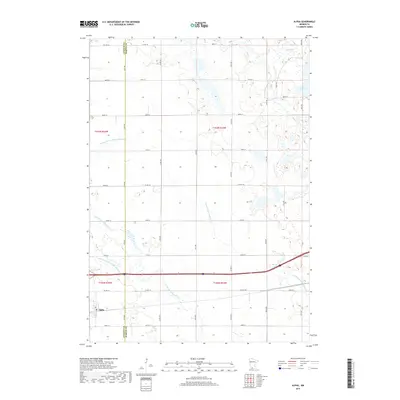
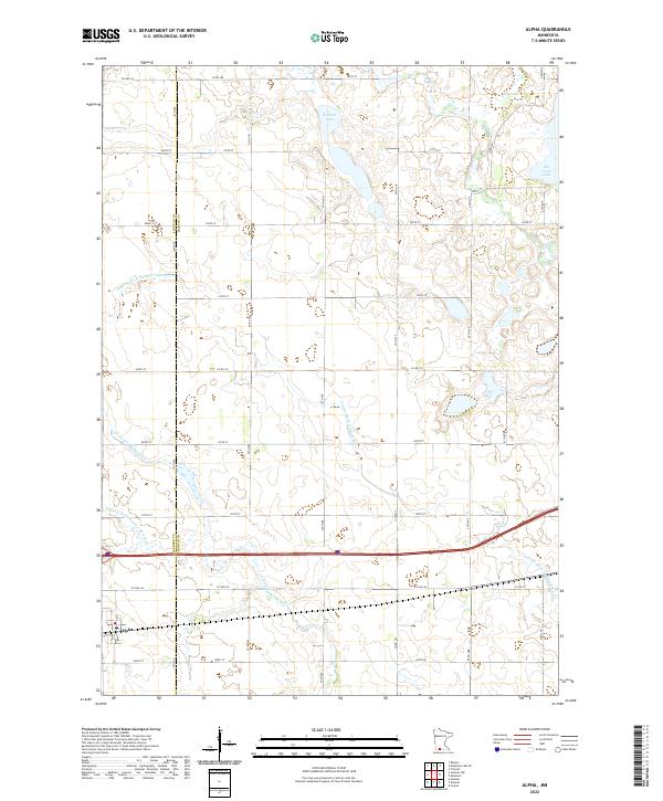 2022 Alpha2022 Print · USGSNear the border of Jackson and Martin counties, this modern survey illustrates a landscape of prairie agriculture and managed waterways. Genealogists and local historians can trace the rural grid around Alpha and follow the paths of the E Fork Des Moines River and Watkins Lake.
End of results
Showing maps 1-9 of 9
Top cities near Alpha
- Estherville historical maps
- Spirit Lake historical maps
- Jackson historical maps
- Sherburn historical maps
- Trimont historical maps
- Orleans historical maps
See more
Frequently asked questions
- What are the different types of historical maps available for Alpha?
- What is the oldest map of Alpha?
- Where can I purchase historical maps of Alpha for my home or office?
- Where can I download high-res historical maps of Alpha?
- Are there historical topographic maps available for Alpha?
- Is there historical aerial imagery available for Alpha?
- Where are historical maps of Alpha sourced from?