Old Maps of Jackson, Minnesota
Explore 28 old maps of Jackson, spanning from 1954 to today. These high-resolution historic maps reveal how streets, neighborhoods, landmarks, and natural features evolved over time — perfect for genealogy, metal detecting, research, and local history exploration.
What you can do with these maps:
- See how Jackson changed over time: Compare historical maps to modern-day views to trace roads, homesites, rail lines & more.
- View detailed metadata: Each map includes creators, publishers, year, scale, and archive source.
- Overlay maps with satellite & LiDAR: Visualize the past alongside modern tools to explore terrain & human change.
- Trusted historical sources: Maps sourced from the USGS, Library of Congress, and other archives.
- Access maps your way: View online, download high-res files, or order prints for personal or research use.
Start exploring old maps of Jackson to uncover forgotten places, hidden landmarks, and the deep history beneath your feet.
Jackson, MN maps
(28)- 1954 Map of Fairmont, 1967 Print
 1954 Fairmont1967 Print · USGSThe prairie landscape of southern Minnesota and northern Iowa comes alive in this mid-century survey of the Coteau des Prairies. Genealogists and historians can trace the rail-connected growth of Fairmont and Blue Earth or locate family roots near St Kilian Ch and Union Slough National Wildlife Refuge.3 unique versions available
 - 1958 Map of Fairmont
 1958 Fairmont1958 Print · USGSThe borderlands of southern Minnesota and northern Iowa come alive in the mid-1950s, showing a landscape defined by glacial lakes and rail-line commerce. Researchers can trace historic landmarks like Lakeside Laboratory, Gridley Station, and the Bancroft Wildlife Refuge across the prairie.
 - 1970 Map of Jackson NW, 1972 Print
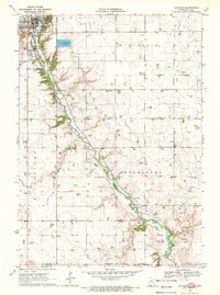
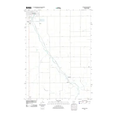
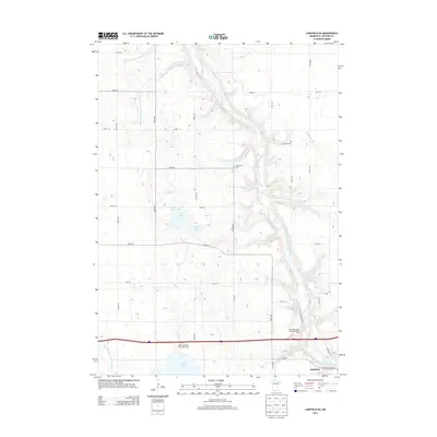
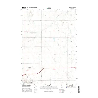
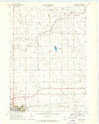 1970 Jackson NW1972 Print · USGSJackson and its surrounding townships are captured here during a period of agricultural and infrastructure expansion in the early seventies. Genealogists and local historians can trace family land in Enterprise, locate the Mennonite Ch, or survey the early grounds of the Jackson Municipal Airport.
 - 1970 Map of Lakefield NE, 1972 Print
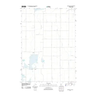
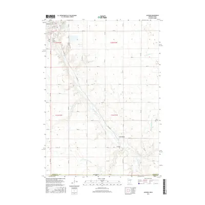
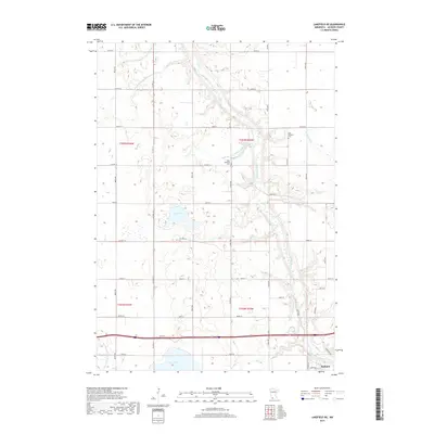
 1970 Lakefield NE1972 Print · USGSJackson County's rural landscape is captured here in the early seventies, dominated by the winding Des Moines River valley. Genealogists can locate family landmarks like Belmont Ch and the East Belmont Cem near the Chicago Milwaukee St Paul and Pacific rail line.2 unique versions available
 - 1970 Map of Jackson, 1972 Print
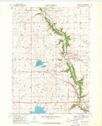
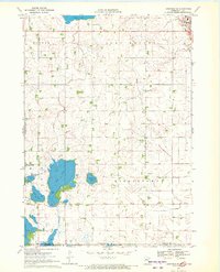
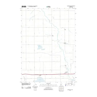
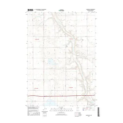
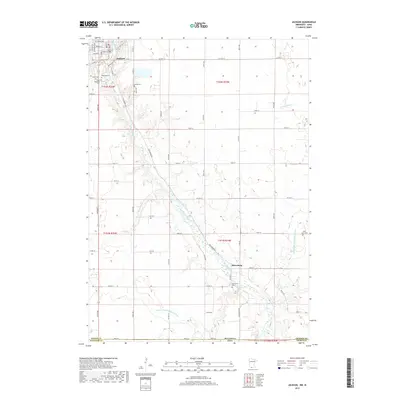
 1970 Jackson1972 Print · USGSJackson and the Des Moines River valley appear here in the early seventies as the region balanced its role as a county seat with a river-based economy. Researchers can locate several family burial sites including Riverside and Petersburg Cem, alongside local landmarks like the Powerplant and Getty Park.
 - 1970 Map of Lakefield SE, 1972 Print
 1970 Lakefield SE1972 Print · USGSThe Minnesota-Iowa borderlands appear here in the early seventies, dominated by the drainage networks of the Des Moines River valley. Genealogists and local historians can trace the early layout of Jackson, locate the Vocational Sch, and find the rural Townhall in Middletown.
 - 1985 Map of Worthington
 1985 Worthington1985 Print · USGSSouthwestern Minnesota and northwestern Iowa are captured in the mid-1980s, showcasing the high-water mark of the region's agricultural and rail-line infrastructure. Researchers can trace the path of the Chicago and North Western through prairie towns like Adrian, Wilmont, and Lakefield.2 unique versions available
 - 1985 Map of Fairmont, 1991 Print
 1985 Fairmont1991 Print · USGSSouthern Minnesota in the mid-eighties shows a robust network of prairie towns and rail-connected agricultural hubs. Genealogists can trace family footprints across Rolling Green and Manyaska or locate old homesteads near Fox Lake and the Chicago & North Western line.
 - 2010 Map of Lakefield NE, 2010 Print
 2010 Lakefield NE2010 Print · USGSCovers Jackson, including Jackson County, United States, and other nearby areas
 - 2010 Map of Lakefield SE, 2010 Print
 2010 Lakefield SE2010 Print · USGSCovers Jackson, including Dickinson County, Jackson County, and other nearby areas
 - 2010 Map of Jackson, 2010 Print
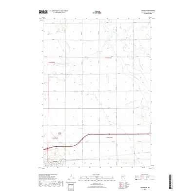
 2010 Jackson2010 Print · USGSCovers Jackson, including Petersburg, West Ridge Village Mobile Home Park, and other nearby areas
 - 2010 Map of Jackson NW, 2010 Print
 2010 Jackson NW2010 Print · USGSCovers Jackson, including Jackson County, United States, and other nearby areas
 - 2013 Map of Lakefield NE, 2013 Print
 2013 Lakefield NE2013 Print · USGSCovers Jackson, including Jackson County, United States, and other nearby areas
 - 2013 Map of Jackson NW, 2013 Print
 2013 Jackson NW2013 Print · USGSCovers Jackson, including Jackson County, United States, and other nearby areas
 - 2013 Map of Jackson, 2013 Print
 2013 Jackson2013 Print · USGSCovers Jackson, including Petersburg, West Ridge Village Mobile Home Park, and other nearby areas
 - 2013 Map of Lakefield SE, 2013 Print
 2013 Lakefield SE2013 Print · USGSCovers Jackson, including Dickinson County, Jackson County, and other nearby areas
 - 2016 Map of Lakefield NE, 2016 Print
 2016 Lakefield NE2016 Print · USGSCovers Jackson, including Jackson County, United States, and other nearby areas
 - 2016 Map of Jackson NW, 2016 Print
 2016 Jackson NW2016 Print · USGSCovers Jackson, including Jackson County, United States, and other nearby areas
 - 2016 Map of Jackson, 2016 Print
 2016 Jackson2016 Print · USGSCovers Jackson, including Petersburg, West Ridge Village Mobile Home Park, and other nearby areas
 - 2016 Map of Lakefield SE, 2016 Print
 2016 Lakefield SE2016 Print · USGSCovers Jackson, including Dickinson County, Jackson County, and other nearby areas
 - 2019 Map of Jackson NW, 2019 Print
 2019 Jackson NW2019 Print · USGSCovers Jackson, including Jackson County, United States, and other nearby areas
 - 2019 Map of Jackson, 2019 Print
 2019 Jackson2019 Print · USGSCovers Jackson, including Petersburg, West Ridge Village Mobile Home Park, and other nearby areas
 - 2019 Map of Lakefield NE, 2019 Print
 2019 Lakefield NE2019 Print · USGSCovers Jackson, including Jackson County, United States, and other nearby areas
 - 2019 Map of Lakefield SE, 2019 Print
 2019 Lakefield SE2019 Print · USGSCovers Jackson, including Dickinson County, Jackson County, and other nearby areas
 - 2022 Map of Lakefield NE, 2022 Print
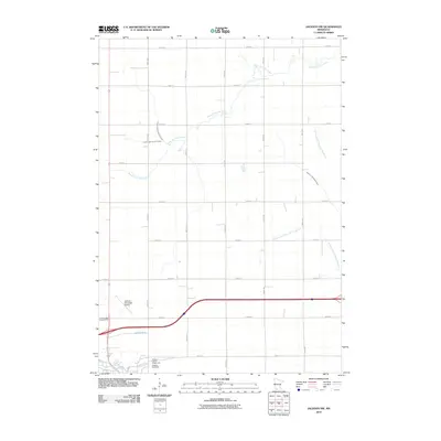
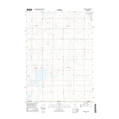
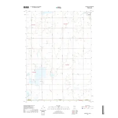
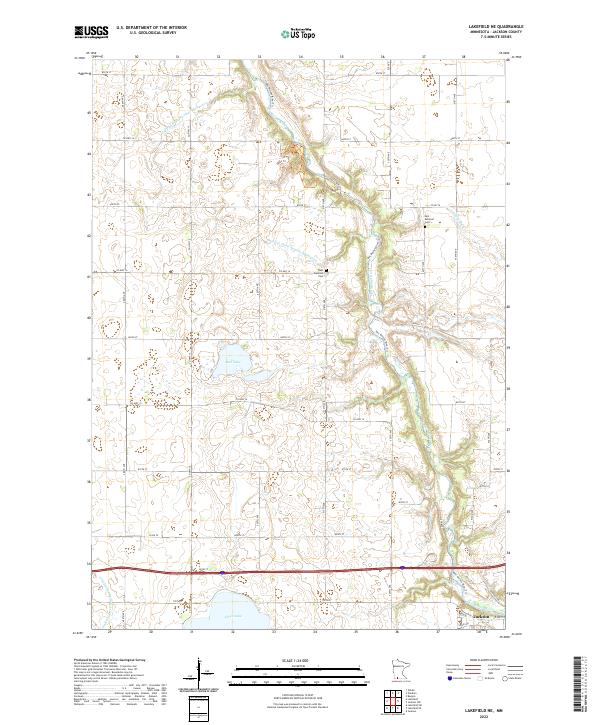 2022 Lakefield NE2022 Print · USGSJackson County in the early twenty-first century reveals a landscape defined by the winding Des Moines River and expansive prairie farms. Genealogists can locate legacy sites like East Belmont Cem and West Belmont Cem or trace water features like Boot Lake.
Showing maps 1-25 of 28
Top cities near Jackson
- Estherville historical maps
- Spirit Lake historical maps
- Lakefield historical maps
- Okoboji historical maps
- Orleans historical maps
- Petersburg historical maps
See more
Top neighborhoods of Jackson
Frequently asked questions
- What are the different types of historical maps available for Jackson?
- What is the oldest map of Jackson?
- Where can I purchase historical maps of Jackson for my home or office?
- Where can I download high-res historical maps of Jackson?
- Are there historical topographic maps available for Jackson?
- Is there historical aerial imagery available for Jackson?
- Where are historical maps of Jackson sourced from?