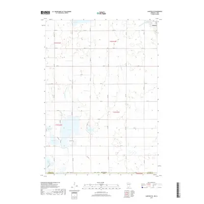
2019 Map of Lakefield SE
USGS Topo · Published 2019About this map
The Minnesota-Iowa border runs through this prairie landscape, where the southern reaches of Jackson County meet Dickinson County. Loon Lake and its neighboring Loon Lake Cem anchor the center of the sheet, surrounded by a complex network of glacial wetlands and water bodies. The terrain is defined by its drainage history, visible in the engineered straight lines of Judicial Ditch Number Sixty-six and Judicial Ditch Number Eight which contrast with the natural meanders of Stony Brook. At the southern edge, the map captures the northern tips of Spirit Lake and Little Spirit Lake, crossing into Iowa. The landscape transitions from the protected habitat of Andersons Marsh to the outskirts of Jackson in the northeast, illustrating a region shaped by both natural lake cycles and the agricultural grid of roads like Co HWY 34.
Find a feature on this map
36 named features on this map. Tap any name to fly to it.
Don’t see what you’re looking for? This feature index may not catch every label — zoom into the map to look around manually.
Map Details
Editions of this 2019 Lakefield SE Map
This is the sole edition of this map. No revisions or reprints were ever made.
Other maps of this area

1954 · Fairmont
USGS Topo · 1:250,000

1958 · Fairmont
USGS Topo · 1:250,000

1970 · Jackson NW
USGS Topo · 1:24,000

1970 · Lakefield SW
USGS Topo · 1:24,000

1970 · Lakefield NE
USGS Topo · 1:24,000

1970 · Jackson
USGS Topo · 1:24,000

1970 · Okoboji
USGS Topo · 1:24,000

1970 · Lakefield SE
USGS Topo · 1:24,000

1970 · Lakefield
USGS Topo · 1:24,000

1970 · Spirit Lake
USGS Topo · 1:24,000