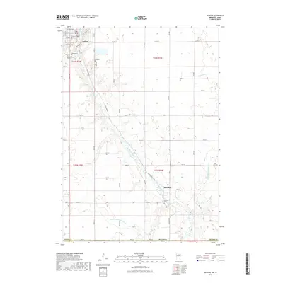
1970 Map of Jackson
USGS Topo · Published 1972About this map
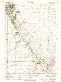
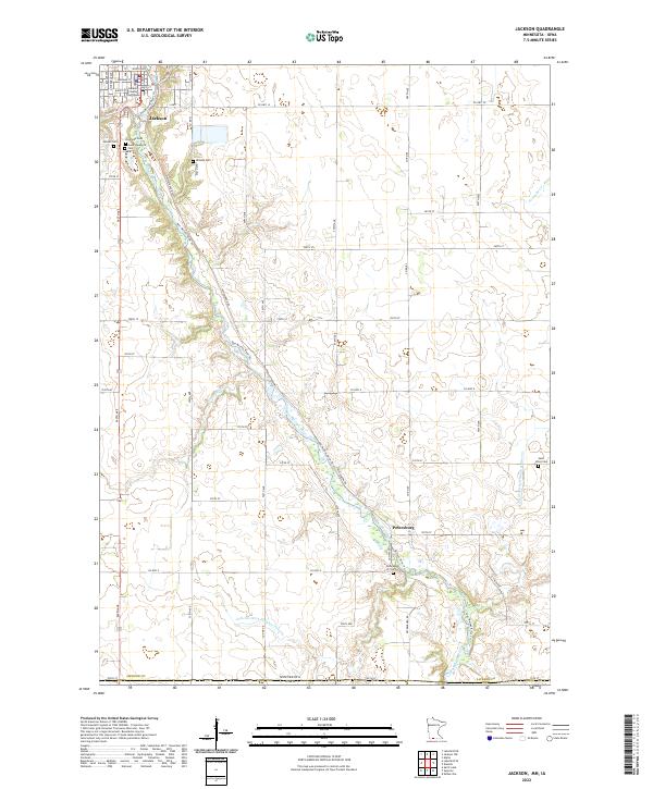
The Des Moines River carves a deep valley through this landscape on the Minnesota-Iowa border, anchoring the city of Jackson and the smaller settlement of Petersburg. By the early 1970s, the area's geography reflected a mix of municipal development and agricultural utility, with local infrastructure including a Powerplant, Sewage Disposal Ponds, and an extensive Pipeline route. The map is particularly useful for genealogical research, documenting several distinct burial grounds such as Riverside Cem, Sunset Cem, Hillside Cem, and Good Shepherd Cem clustered near the main townsite.
Find a feature on this map
32 named features on this map. Tap any name to fly to it.
Don’t see what you’re looking for? This feature index may not catch every label — zoom into the map to look around manually.
Map Details
Editions of this 1970 Jackson Map
This is the sole edition of this map. No revisions or reprints were ever made.
Historical Maps of Jackson Through Time
6 maps found
Featured Locations
- Jackson County, MN
- Dickinson County, IA
- Jackson, MN
- Petersburg, MN
- West Ridge Village Mobile Home Park, Jackson