
1970 Map of Jackson NW
USGS Topo · Published 1972About this map
The Des Moines River flows through the southwest corner of this region, anchoring the development of Jackson, where the County Fairground and Jackson Country Club served as local social hubs. The landscape is characterized by a sophisticated drainage network of judicial and county ditches, such as Judicial Ditch No 15, which support the agricultural vitality of Enterprise and Belmont townships. This era of infrastructure is marked by the presence of the Chicago Milwaukee St Paul and Pacific railroad and the Jackson Municipal Airport. Local community life is further evidenced by the Mennonite Ch and a rural Townhall, while the Arzt State Wildlife Management Area preserves a pocket of the native environment amidst the organized grid of farm sections and township lines.
Find a feature on this map
24 named features on this map. Tap any name to fly to it.
Don’t see what you’re looking for? This feature index may not catch every label — zoom into the map to look around manually.
Map Details
Editions of this 1970 Jackson NW Map
This is the sole edition of this map. No revisions or reprints were ever made.
Other maps of this area

1954 · Fairmont
USGS Topo · 1:250,000

1958 · Fairmont
USGS Topo · 1:250,000

1970 · Lakefield NE
USGS Topo · 1:24,000

1970 · Jackson
USGS Topo · 1:24,000

1970 · Mountain Lake SE
USGS Topo · 1:24,000

1970 · Lakefield SE
USGS Topo · 1:24,000

1970 · Windom
USGS Topo · 1:24,000
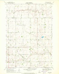
1970 · Bergen
USGS Topo · 1:24,000

1970 · Dunnell
USGS Topo · 1:24,000
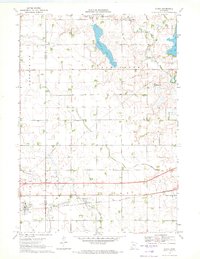
1970 · Alpha
USGS Topo · 1:24,000