
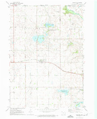
1970 Map of Spirit Lake
USGS Topo · Published 1972About this map
Spirit Lake and East Okoboji Lake anchor this 1970 landscape, where the resort culture of the Iowa Great Lakes meets the heavy infrastructure of the regional rail network. The town of Spirit Lake serves as the focal point, featuring the Courthouse, County Hospital, and a well-defined street grid centered on the Chicago Milwaukee St Paul and Pacific railroad line. Near the water, the Fish Hatchery and Mini Wakan State Park reflect the era's focus on conservation and public recreation.
Find a feature on this map
64 named features on this map. Tap any name to fly to it.
Don’t see what you’re looking for? This feature index may not catch every label — zoom into the map to look around manually.
Map Details
Editions of this 1970 Spirit Lake Map
This is the sole edition of this map. No revisions or reprints were ever made.
Other maps of this area

1954 · Fairmont
USGS Topo · 1:250,000

1958 · Fairmont
USGS Topo · 1:250,000

1970 · Milford
USGS Topo · 1:24,000

1970 · Lakefield SW
USGS Topo · 1:24,000

1970 · Jackson
USGS Topo · 1:24,000

1970 · Okoboji
USGS Topo · 1:24,000

1970 · Lakefield SE
USGS Topo · 1:24,000

1970 · Spirit Lake SE
USGS Topo · 1:24,000

1972 · Terril
USGS Topo · 1:24,000
1972 · Superior
USGS Topo · 1:24,000