Old Maps of Brunswick Township, Minnesota for Metal Detecting
Plan your next treasure hunt with 32 historic maps of Brunswick Township. Find old homesites, ghost towns, trails, and gathering spots that may be lost to time — perfect for identifying promising metal detecting locations.
- Locate forgotten sites: Uncover places like long-lost settlements, abandoned rail lines, or gathering spots.
- Plan better hunts: Use map overlays combined with LiDAR or satellite views to narrow in on historically rich areas.
- Made for detectorists: Thousands of hobbyists use these maps to discover relics, coins, and hidden history.
Use these historic maps to boost your research and find new opportunities beneath the surface of Brunswick Township.
Brunswick Township, MN maps
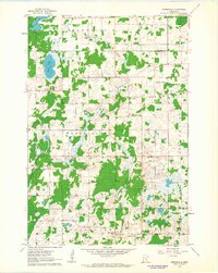
(32)- 1953 Map of Stillwater, 1980 Print
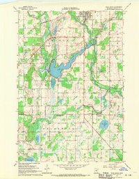
 1953 Stillwater1980 Print · USGSThe Twin Cities and the St. Croix Valley are captured in this mid-century survey as the interstate era began to transform the Upper Midwest. Genealogists and historians can trace the rail-and-river geography of Stillwater, locate landmarks in Anoka, or explore the sprawling St Croix State Park.
 - 1955 Map of Stillwater, 1965 Print
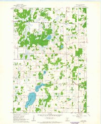
 1955 Stillwater1965 Print · USGSThe Upper St. Croix Valley and the growing Twin Cities area are shown here during the mid-fifties, before the interstate era transformed the regional commute. You can trace the lines of the Northern Pacific RR through towns like Rush City or locate the Saint Croix Indian Reservation.
 - 1958 Map of Stillwater
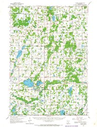
 1958 Stillwater1958 Print · USGSThe Upper Mississippi and St. Croix River valleys appear in the mid-fifties as the Twin Cities expanded north. Genealogists can locate family landmarks like Oak Park Cem, Saint Michael Church, and the Soo Line RR rail corridors.2 unique versions available
 - 1961 Map of Springvale, 1963 Print
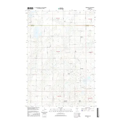
 1961 Springvale1963 Print · USGSIsanti County farmland and scattered rural communities appear in detail during the early sixties, as the area maintained its traditional agricultural character. Genealogists can locate family landmarks like Siloa Church, Elm Park, and the various cemeteries that served these central Minnesota townships.2 unique versions available
 - 1961 Map of Dalbo, 1963 Print
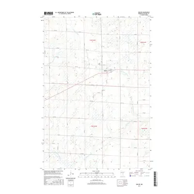
 1961 Dalbo1963 Print · USGSCentral Minnesota farm country and wetlands are captured here in the early sixties. Genealogists can locate family-named landmarks like Krone Lake and trace community roots at the Salem Cem, North Star Sch, or the Grange Hall.2 unique versions available
 - 1961 Map of Dalbo, 1965 Print
 1961 Dalbo1965 Print · USGSIsanti County in the early 1960s was a landscape of township halls and country schoolhouses centered on the winding Rum River. Genealogists can locate family sites at the Old Wyanett Free Cem, King Cem, and the rural Siloa Ch.
 - 1965 Map of Stillwater
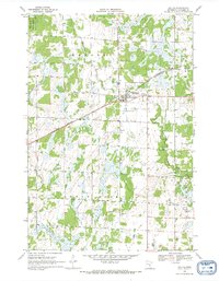
 1965 Stillwater1965 Print · USGSThe Twin Cities and the St. Croix Valley are mapped here during a period of significant post-war growth and industrial transit. Genealogists and historians can trace rail lines like the Northern Pacific RR through towns such as Rush City, Amery, and Balsam Lake.
 - 1968 Map of Ogilvie, 1970 Print
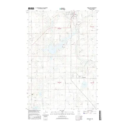
 1968 Ogilvie1970 Print · USGSIn the late 1960s, the village of Ogilvie was a central rail stop for the Great Northern line. Genealogists and historians can trace local family landmarks like St Kathryn Cem, Graceland Cem, and the community Townhall.
 - 1968 Map of Mora South, 1970 Print
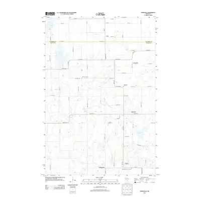
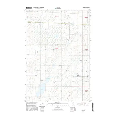
 1968 Mora South1970 Print · USGSThe Snake River valley in Kanabec County comes into focus in this late 1960s record of rural Minnesota life and industry. Genealogists and local historians can trace the foundations of Mora and Brunswick, locating family landmarks like St Marys Cem, Monroe Sch, and the Great Northern railroad tracks.2 unique versions available
 - 1975 Map of Stillwater
 1975 Stillwater1975 Print · USGSThe Twin Cities and the St. Croix Valley are captured in the mid-seventies, showing the urban growth of Minneapolis and St Paul. Researchers can trace old rail corridors of the Northern Pacific RR and locate tribal lands at the Mille Lacs Indian Reservation.2 unique versions available
 - 1985 Map of Mora
 1985 Mora1985 Print · USGSCentral Minnesota's river valleys and farming hubs are captured here in the mid-eighties, showing the region before significant modern expansion. Researchers can trace historic rail lines like the Burlington Northern and locate community landmarks in Mora, Milaca, and Princeton.
 - 1991 Map of Mora
 1991 Mora1991 Print · USGSThe Rum River valley and central Minnesota lakelands are shown in great detail in the early 1990s. Genealogists and local historians can trace rural school locations, family cemeteries, and local landmarks like St. Marys Ch or the Municipal Airport in Mora.
 - 2010 Map of Ogilvie, 2010 Print
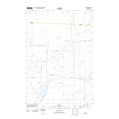
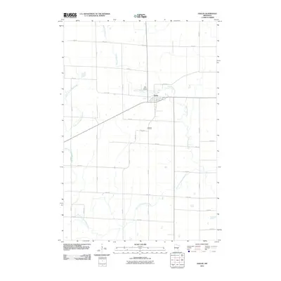 2010 Ogilvie2010 Print · USGSCovers Brunswick Township, including Ogilvie, South Fork Township, and other nearby areas
 - 2010 Map of Mora South, 2010 Print
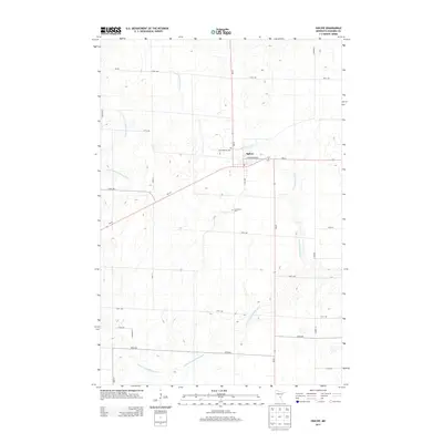
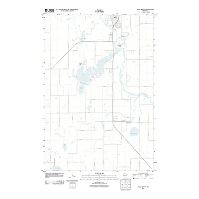 2010 Mora South2010 Print · USGSCovers Brunswick Township, including Mora, Brunswick, and other nearby areas
 - 2010 Map of Dalbo, 2010 Print
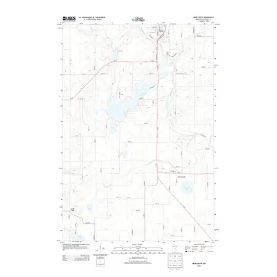
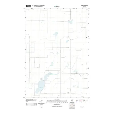 2010 Dalbo2010 Print · USGSCovers Brunswick Township, including Dalbo, Maple Ridge Township, and other nearby areas
 - 2010 Map of Springvale, 2010 Print
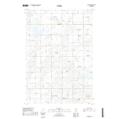
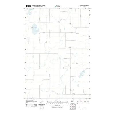 2010 Springvale2010 Print · USGSCovers Brunswick Township, including Springvale, Maple Ridge Township, and other nearby areas
 - 2013 Map of Dalbo, 2013 Print
 2013 Dalbo2013 Print · USGSCovers Brunswick Township, including Dalbo, Maple Ridge Township, and other nearby areas
 - 2013 Map of Ogilvie, 2013 Print
 2013 Ogilvie2013 Print · USGSCovers Brunswick Township, including Ogilvie, South Fork Township, and other nearby areas
 - 2013 Map of Mora South, 2013 Print
 2013 Mora South2013 Print · USGSCovers Brunswick Township, including Mora, Brunswick, and other nearby areas
 - 2013 Map of Springvale, 2013 Print
 2013 Springvale2013 Print · USGSCovers Brunswick Township, including Springvale, Maple Ridge Township, and other nearby areas
 - 2016 Map of Ogilvie, 2016 Print
 2016 Ogilvie2016 Print · USGSCovers Brunswick Township, including Ogilvie, South Fork Township, and other nearby areas
 - 2016 Map of Mora South, 2016 Print
 2016 Mora South2016 Print · USGSCovers Brunswick Township, including Mora, Brunswick, and other nearby areas
 - 2016 Map of Springvale, 2016 Print
 2016 Springvale2016 Print · USGSCovers Brunswick Township, including Springvale, Maple Ridge Township, and other nearby areas
 - 2016 Map of Dalbo, 2016 Print
 2016 Dalbo2016 Print · USGSCovers Brunswick Township, including Dalbo, Maple Ridge Township, and other nearby areas
 - 2019 Map of Springvale, 2019 Print
 2019 Springvale2019 Print · USGSCovers Brunswick Township, including Springvale, Maple Ridge Township, and other nearby areas
Showing maps 1-25 of 32
Top cities near Brunswick Township
- Cambridge historical maps
- Mora historical maps
- Wyanett historical maps
- Braham historical maps
- Springvale historical maps
- Brunswick historical maps
See more
Top neighborhoods of Brunswick Township
Frequently asked questions
- What are the different types of historical maps available for Brunswick Township?
- What is the oldest map of Brunswick Township?
- Where can I purchase historical maps of Brunswick Township for my home or office?
- Where can I download high-res historical maps of Brunswick Township?
- Are there historical topographic maps available for Brunswick Township?
- Is there historical aerial imagery available for Brunswick Township?
- Where are historical maps of Brunswick Township sourced from?