Old Maps of Warman, Peace Township for Hiking & Exploration
Hike through history with 9 historic maps of Warman. Explore old trails, ghost towns, and forgotten backroads — perfect for outdoor adventurers and local explorers.
- Rediscover forgotten places: Map out old mining camps, roads, and footpaths that no longer exist on modern maps.
- Layer with modern tools: Combine with LiDAR or satellite views to plan hikes through historical terrain.
- Made for exploration: Popular among hikers, overlanders, and local history lovers.
Use these maps to find adventure and explore the hidden past of Warman.
Warman, Peace Township maps
(9)- 1953 Map of Duluth, 1964 Print
 1953 Duluth1964 Print · USGSNortheastern Minnesota and northwestern Wisconsin are shown here during a period of industrial maturity and expanding conservation. Genealogists and historians can trace rail-connected towns like McGrath and Wahkon, or locate heritage sites within the Fond du Lac Indian Reservation.2 unique versions available
 - 1958 Map of Duluth
 1958 Duluth1958 Print · USGSNortheastern Minnesota and the Wisconsin borderlands are shown in detail during the late 1950s, centered on the bustling rail yards and ports of Duluth. You can trace the historic routes of the Soo Line and Duluth Missabe & Iron Range through small towns like McGrath, Bruno, and Wrenshall.
 - 1968 Map of Warman, 1970 Print
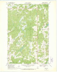 1968 Warman1970 Print · USGSCentral Minnesota at the end of the sixties shows a landscape defined by its timbered wetlands and growing stone industry. Local researchers can trace the industrial footprint of Warman through its several Quarries and explore the riparian borders of the Snake River.2 unique versions available
 - 1985 Map of Mille Lacs Lake
 1985 Mille Lacs Lake1985 Print · USGSMille Lacs Lake and its surrounding settlements are shown in the mid-1980s as a hub of lake-shore recreation and rail commerce. Researchers can trace historic transport lines like the Soo Line and locate communities such as Wahkon and Garrison.2 unique versions available
 - 2010 Map of Warman, 2010 Print
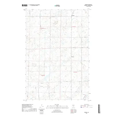
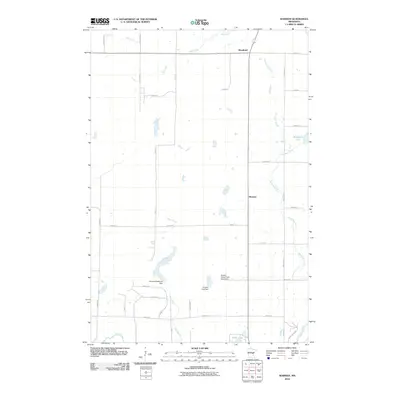 2010 Warman2010 Print · USGSCovers Warman, including Ford Township, Hay Brook Township, and other nearby areas
 - 2013 Map of Warman, 2013 Print
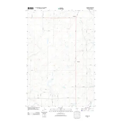 2013 Warman2013 Print · USGSCovers Warman, including Ford Township, Hay Brook Township, and other nearby areas
 - 2016 Map of Warman, 2016 Print
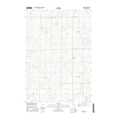 2016 Warman2016 Print · USGSCovers Warman, including Ford Township, Hay Brook Township, and other nearby areas
 - 2019 Map of Warman, 2019 Print
 2019 Warman2019 Print · USGSCovers Warman, including Ford Township, Hay Brook Township, and other nearby areas
 - 2022 Map of Warman, 2022 Print
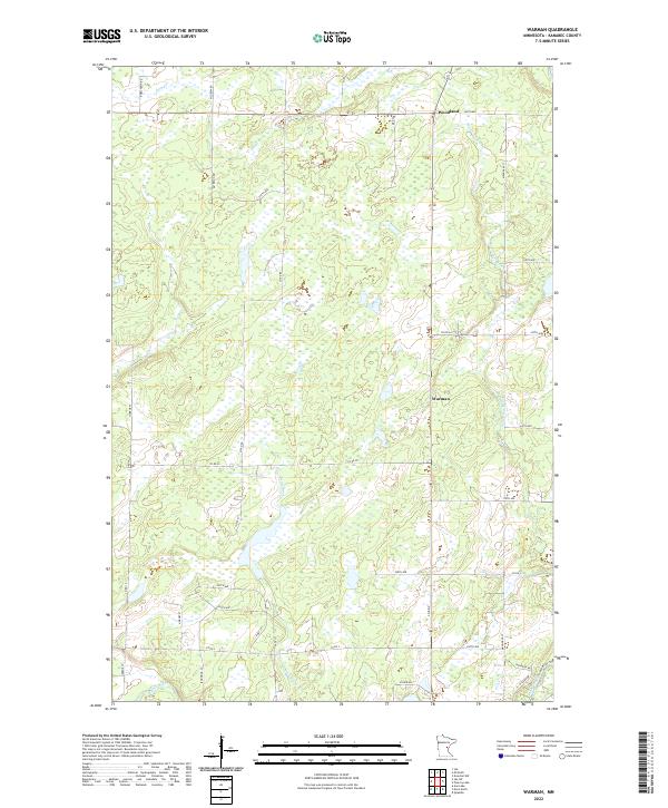 2022 Warman2022 Print · USGSKanabec County's wetland-rich landscape is documented here in the early twenty-first century, centered on the rural settlements of Warman and Woodland. Genealogists and local researchers can trace family-named routes like Roeschlein Rd and waterways such as the Knife River.
End of results
Showing maps 1-9 of 9
Top cities near Warman
- Mora historical maps
- Isle historical maps
- Ogilvie historical maps
- Kroschel historical maps
- Brook Park historical maps
- Henriette historical maps
See more
Frequently asked questions
- What are the different types of historical maps available for Warman?
- What is the oldest map of Warman?
- Where can I purchase historical maps of Warman for my home or office?
- Where can I download high-res historical maps of Warman?
- Are there historical topographic maps available for Warman?
- Is there historical aerial imagery available for Warman?
- Where are historical maps of Warman sourced from?