Old Maps of South Fork Township, Minnesota for Academic Research
Study the evolution of South Fork Township with 32 high-resolution historic maps. Whether you're teaching, researching, or modeling changes in land use, these maps provide essential visual documentation of urban, environmental, and geographic change.
- Analyze long-term change: Track patterns in development, transportation, and natural features.
- Ideal for environmental or urban studies: Support academic projects with primary historical map data.
- Use in the classroom or lab: Educators and researchers rely on these maps to bring historical context to life.
These maps are a powerful tool for teaching, research, and visualizing how South Fork Township has changed over the decades.
South Fork Township, MN maps
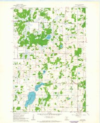
(32)- 1953 Map of Stillwater, 1980 Print
 1953 Stillwater1980 Print · USGSThe Twin Cities and the St. Croix Valley are captured in this mid-century survey as the interstate era began to transform the Upper Midwest. Genealogists and historians can trace the rail-and-river geography of Stillwater, locate landmarks in Anoka, or explore the sprawling St Croix State Park.
 - 1955 Map of Stillwater, 1965 Print
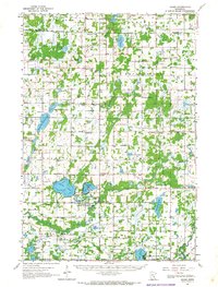
 1955 Stillwater1965 Print · USGSThe Upper St. Croix Valley and the growing Twin Cities area are shown here during the mid-fifties, before the interstate era transformed the regional commute. You can trace the lines of the Northern Pacific RR through towns like Rush City or locate the Saint Croix Indian Reservation.
 - 1958 Map of Stillwater
 1958 Stillwater1958 Print · USGSThe Upper Mississippi and St. Croix River valleys appear in the mid-fifties as the Twin Cities expanded north. Genealogists can locate family landmarks like Oak Park Cem, Saint Michael Church, and the Soo Line RR rail corridors.2 unique versions available
 - 1961 Map of Dalbo, 1963 Print
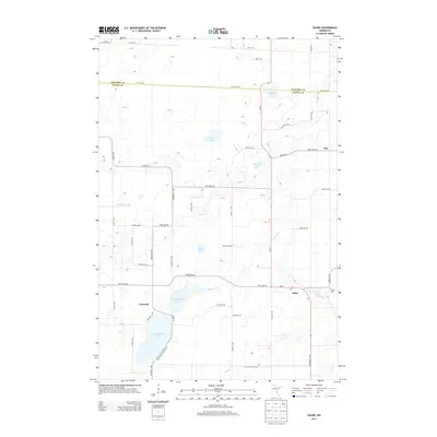
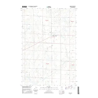
 1961 Dalbo1963 Print · USGSCentral Minnesota farm country and wetlands are captured here in the early sixties. Genealogists can locate family-named landmarks like Krone Lake and trace community roots at the Salem Cem, North Star Sch, or the Grange Hall.2 unique versions available
 - 1961 Map of Dalbo, 1965 Print
 1961 Dalbo1965 Print · USGSIsanti County in the early 1960s was a landscape of township halls and country schoolhouses centered on the winding Rum River. Genealogists can locate family sites at the Old Wyanett Free Cem, King Cem, and the rural Siloa Ch.
 - 1965 Map of Stillwater
 1965 Stillwater1965 Print · USGSThe Twin Cities and the St. Croix Valley are mapped here during a period of significant post-war growth and industrial transit. Genealogists and historians can trace rail lines like the Northern Pacific RR through towns such as Rush City, Amery, and Balsam Lake.
 - 1968 Map of Princeton NE, 1970 Print
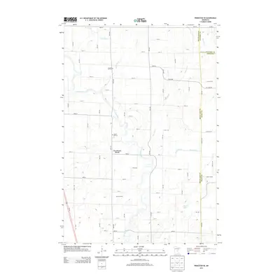
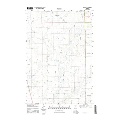
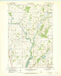 1968 Princeton NE1970 Print · USGSMille Lacs County in the late sixties reveals a landscape of river bends and reclaimed wetlands shaped by early twentieth-century drainage projects. Genealogists can trace family connections at Wendell Hill Cem or Zion Ch and locate the historic School No 1172.
 - 1968 Map of Bock, 1970 Print
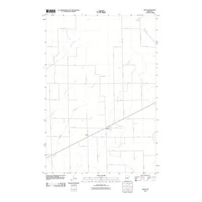
 1968 Bock1970 Print · USGSIn the late sixties, the rural landscape of Borgholm was anchored by the village of Bock and the Great Northern railway. Researchers can trace historical footprints through landmarks like Borgholm Cem, School No 1156, and several local Townhalls near Bogus Brook.2 unique versions available
 - 1968 Map of Ogilvie, 1970 Print
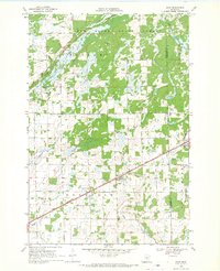
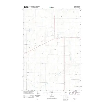
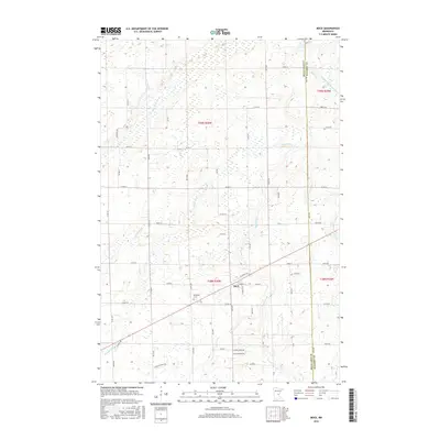
 1968 Ogilvie1970 Print · USGSIn the late 1960s, the village of Ogilvie was a central rail stop for the Great Northern line. Genealogists and historians can trace local family landmarks like St Kathryn Cem, Graceland Cem, and the community Townhall.
 - 1975 Map of Stillwater
 1975 Stillwater1975 Print · USGSThe Twin Cities and the St. Croix Valley are captured in the mid-seventies, showing the urban growth of Minneapolis and St Paul. Researchers can trace old rail corridors of the Northern Pacific RR and locate tribal lands at the Mille Lacs Indian Reservation.2 unique versions available
 - 1985 Map of Mora
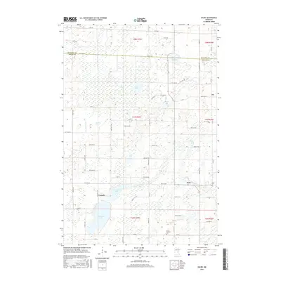
 1985 Mora1985 Print · USGSCentral Minnesota's river valleys and farming hubs are captured here in the mid-eighties, showing the region before significant modern expansion. Researchers can trace historic rail lines like the Burlington Northern and locate community landmarks in Mora, Milaca, and Princeton.
 - 1991 Map of Mora
 1991 Mora1991 Print · USGSThe Rum River valley and central Minnesota lakelands are shown in great detail in the early 1990s. Genealogists and local historians can trace rural school locations, family cemeteries, and local landmarks like St. Marys Ch or the Municipal Airport in Mora.
 - 2010 Map of Ogilvie, 2010 Print
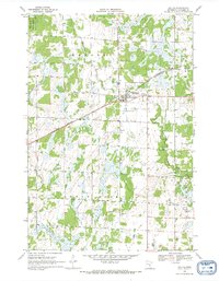
 2010 Ogilvie2010 Print · USGSCovers South Fork Township, including Ogilvie, Brunswick Township, and other nearby areas
 - 2010 Map of Princeton NE, 2010 Print
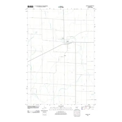
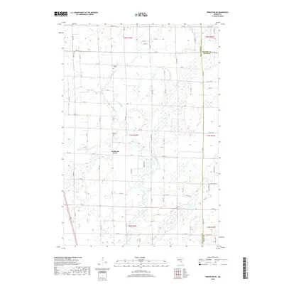
 2010 Princeton NE2010 Print · USGSCovers South Fork Township, including Bogus Brook Township, Wyanett Township, and other nearby areas
 - 2010 Map of Dalbo, 2010 Print
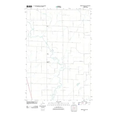
 2010 Dalbo2010 Print · USGSCovers South Fork Township, including Dalbo, Maple Ridge Township, and other nearby areas
 - 2010 Map of Bock, 2010 Print
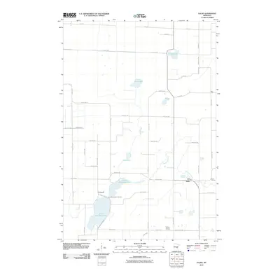
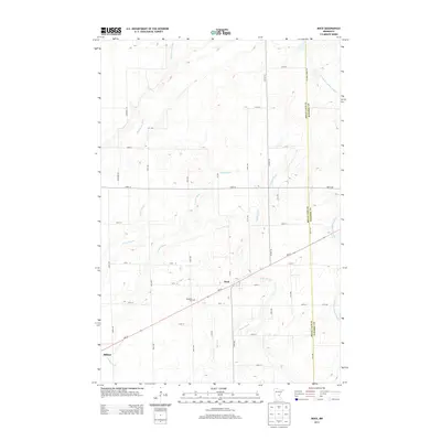
 2010 Bock2010 Print · USGSCovers South Fork Township, including Bock, Hayland Township, and other nearby areas
 - 2013 Map of Bock, 2013 Print
 2013 Bock2013 Print · USGSCovers South Fork Township, including Bock, Hayland Township, and other nearby areas
 - 2013 Map of Dalbo, 2013 Print
 2013 Dalbo2013 Print · USGSCovers South Fork Township, including Dalbo, Maple Ridge Township, and other nearby areas
 - 2013 Map of Ogilvie, 2013 Print
 2013 Ogilvie2013 Print · USGSCovers South Fork Township, including Ogilvie, Brunswick Township, and other nearby areas
 - 2013 Map of Princeton NE, 2013 Print
 2013 Princeton NE2013 Print · USGSCovers South Fork Township, including Bogus Brook Township, Wyanett Township, and other nearby areas
 - 2016 Map of Ogilvie, 2016 Print
 2016 Ogilvie2016 Print · USGSCovers South Fork Township, including Ogilvie, Brunswick Township, and other nearby areas
 - 2016 Map of Bock, 2016 Print
 2016 Bock2016 Print · USGSCovers South Fork Township, including Bock, Hayland Township, and other nearby areas
 - 2016 Map of Dalbo, 2016 Print
 2016 Dalbo2016 Print · USGSCovers South Fork Township, including Dalbo, Maple Ridge Township, and other nearby areas
 - 2016 Map of Princeton NE, 2016 Print
 2016 Princeton NE2016 Print · USGSCovers South Fork Township, including Bogus Brook Township, Wyanett Township, and other nearby areas
 - 2019 Map of Princeton NE, 2019 Print
 2019 Princeton NE2019 Print · USGSCovers South Fork Township, including Bogus Brook Township, Wyanett Township, and other nearby areas
Showing maps 1-25 of 32
Top cities near South Fork Township
- Cambridge historical maps
- Princeton historical maps
- Mora historical maps
- Milaca historical maps
- Wyanett historical maps
- Springvale historical maps
See more
Frequently asked questions
- What are the different types of historical maps available for South Fork Township?
- What is the oldest map of South Fork Township?
- Where can I purchase historical maps of South Fork Township for my home or office?
- Where can I download high-res historical maps of South Fork Township?
- Are there historical topographic maps available for South Fork Township?
- Is there historical aerial imagery available for South Fork Township?
- Where are historical maps of South Fork Township sourced from?