Old Maps of Harrison Township, Minnesota for Academic Research
Study the evolution of Harrison Township with 17 high-resolution historic maps. Whether you're teaching, researching, or modeling changes in land use, these maps provide essential visual documentation of urban, environmental, and geographic change.
- Analyze long-term change: Track patterns in development, transportation, and natural features.
- Ideal for environmental or urban studies: Support academic projects with primary historical map data.
- Use in the classroom or lab: Educators and researchers rely on these maps to bring historical context to life.
These maps are a powerful tool for teaching, research, and visualizing how Harrison Township has changed over the decades.
Harrison Township, MN maps
(17)- 1953 Map of Saint Cloud, 1968 Print
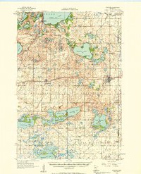
 1953 Saint Cloud1968 Print · USGSCentral Minnesota's lake country and the Mississippi River valley are caught in a period of steady mid-century growth. Researchers can trace historic rail lines, old granite works, and local landmarks like St. Johns University, Camp Ripley, and the shores of Lake Minnewaska.3 unique versions available
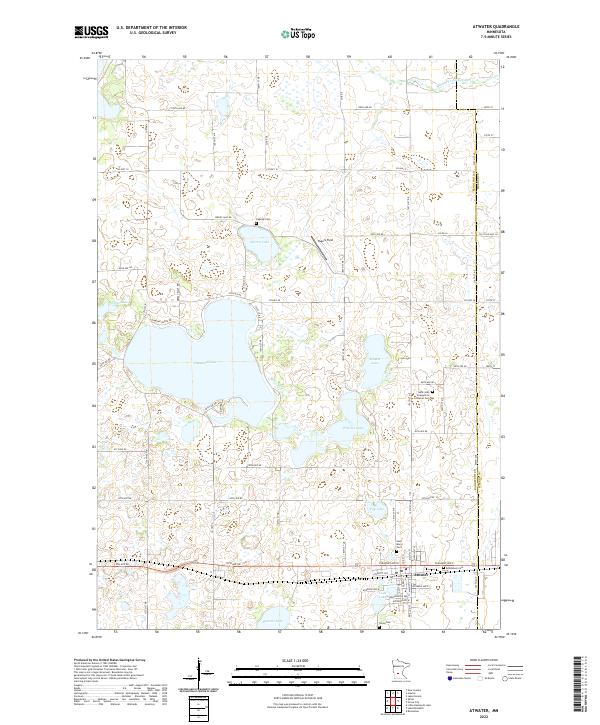
 - 1956 Map of Atwater, 1958 Print
 1956 Atwater1958 Print · USGSMid-century Kandiyohi County is defined here by its lakeland geography and its dependence on the Great Northern railroad. Researchers can trace dozens of rural landmarks, from the Union Cemetery at Atwater to numerous local schoolhouses like School No 78 and School No 44.2 unique versions available
 - 1957 Map of Saint Cloud
 1957 Saint Cloud1957 Print · USGSCentral Minnesota's lake country and rail corridors are meticulously detailed in the mid-1950s. Genealogists and researchers can trace the growth of towns like Alexandria, Willmar, and Saint Cloud along the Great Northern railroad line.
 - 1958 Map of Saint Cloud
 1958 Saint Cloud1958 Print · USGSCentral Minnesota in the mid-1950s shows a landscape of growing regional hubs and hundreds of glacial lakes connected by an extensive rail network. Genealogists and historians can trace the early footprints of Saint Cloud, Alexandria, and Willmar along the Great Northern Railway.
 - 1982 Map of Spicer, 1983 Print
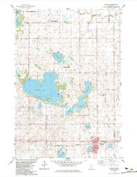
 1982 Spicer1983 Print · USGSKandiyohi County was a landscape of conservation and lakeside living in the early eighties, centered on the growing town of Spicer. Researchers can trace old family sites near St Patrick Cem, early recreation at Green Lake Camp, and the rail corridor of the Burlington Northern.
 - 1983 Map of Atwater
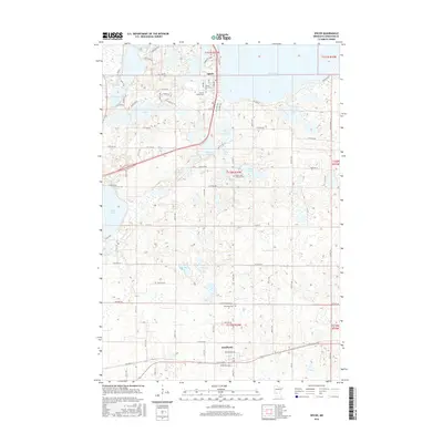
 1983 Atwater1983 Print · USGSThe lakeside township of Atwater and its surrounding farm country are captured here in the early eighties. Genealogists and local historians can trace family plots at Bethlehem Cem or Oakside Cem, and locate rural landmarks like Harrison Ch and Diamond Lake.
 - 1986 Map of Litchfield
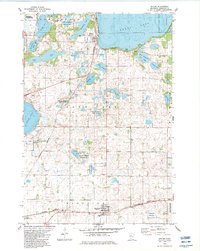
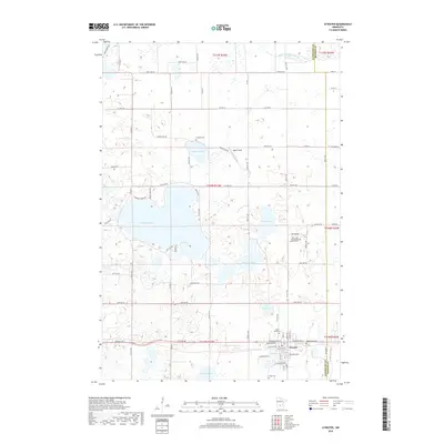
 1986 Litchfield1986 Print · USGSCentral Minnesota in the mid-eighties was a landscape of conservation and transport, where the Burlington Northern rail line connected thriving lake towns. Genealogists and historians can trace old townships and landmarks like St Nicholas, Forest City, and School House Lake.2 unique versions available
 - 2010 Map of Atwater, 2010 Print
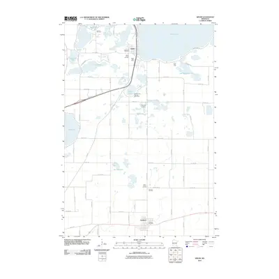
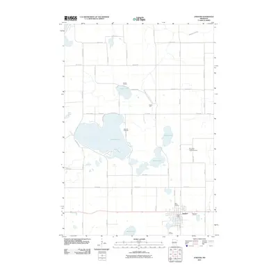 2010 Atwater2010 Print · USGSCovers Harrison Township, including Atwater, Kandiyohi County, and other nearby areas
 - 2010 Map of Spicer, 2010 Print
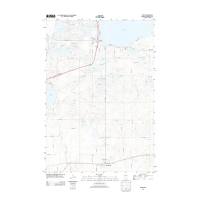
 2010 Spicer2010 Print · USGSCovers Harrison Township, including Spicer, Kandiyohi, and other nearby areas
 - 2013 Map of Spicer, 2013 Print
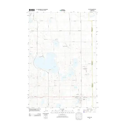
 2013 Spicer2013 Print · USGSCovers Harrison Township, including Spicer, Kandiyohi, and other nearby areas
 - 2013 Map of Atwater, 2013 Print
 2013 Atwater2013 Print · USGSCovers Harrison Township, including Atwater, Kandiyohi County, and other nearby areas
 - 2016 Map of Atwater, 2016 Print
 2016 Atwater2016 Print · USGSCovers Harrison Township, including Atwater, Kandiyohi County, and other nearby areas
 - 2016 Map of Spicer, 2016 Print
 2016 Spicer2016 Print · USGSCovers Harrison Township, including Spicer, Kandiyohi, and other nearby areas
 - 2019 Map of Spicer, 2019 Print
 2019 Spicer2019 Print · USGSCovers Harrison Township, including Spicer, Kandiyohi, and other nearby areas
 - 2019 Map of Atwater, 2019 Print
 2019 Atwater2019 Print · USGSCovers Harrison Township, including Atwater, Kandiyohi County, and other nearby areas
 - 2022 Map of Atwater, 2022 Print
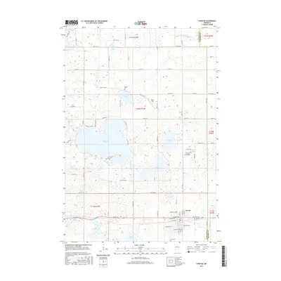
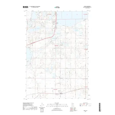
 2022 Atwater2022 Print · USGSAtwater and the lake-dotted plains of Kandiyohi County are shown here in recent detail, centered on the BNSF Railway corridor. Genealogists and local historians can trace family locations near Bethlehem Cem, Oakside Cem, and the shores of Diamond Lake.
 - 2022 Map of Spicer, 2022 Print
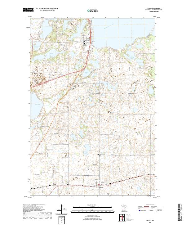 2022 Spicer2022 Print · USGSCentral Minnesota's lake country is captured in the 2020s, showing the evolved settlement patterns between Spicer and Kandiyohi. Family historians can locate numerous burial grounds such as Saint Patrick Cemetery and the Spicer Family Cemetery among the shores of Eagle Lake.
End of results
Showing maps 1-17 of 17
Top cities near Harrison Township
- Willmar historical maps
- Paynesville historical maps
- New London historical maps
- Spicer historical maps
- Atwater historical maps
- Manannah historical maps
See more
Frequently asked questions
- What are the different types of historical maps available for Harrison Township?
- What is the oldest map of Harrison Township?
- Where can I purchase historical maps of Harrison Township for my home or office?
- Where can I download high-res historical maps of Harrison Township?
- Are there historical topographic maps available for Harrison Township?
- Is there historical aerial imagery available for Harrison Township?
- Where are historical maps of Harrison Township sourced from?