Old Maps of Hawick, Minnesota
Explore 10 old maps of Hawick, spanning from 1953 to today. These high-resolution historic maps reveal how streets, neighborhoods, landmarks, and natural features evolved over time — perfect for genealogy, metal detecting, research, and local history exploration.
What you can do with these maps:
- See how Hawick changed over time: Compare historical maps to modern-day views to trace roads, homesites, rail lines & more.
- View detailed metadata: Each map includes creators, publishers, year, scale, and archive source.
- Overlay maps with satellite & LiDAR: Visualize the past alongside modern tools to explore terrain & human change.
- Trusted historical sources: Maps sourced from the USGS, Library of Congress, and other archives.
- Access maps your way: View online, download high-res files, or order prints for personal or research use.
Start exploring old maps of Hawick to uncover forgotten places, hidden landmarks, and the deep history beneath your feet.
Hawick, MN maps
(10)- 1953 Map of Saint Cloud, 1968 Print
 1953 Saint Cloud1968 Print · USGSCentral Minnesota's lake country and the Mississippi River valley are caught in a period of steady mid-century growth. Researchers can trace historic rail lines, old granite works, and local landmarks like St. Johns University, Camp Ripley, and the shores of Lake Minnewaska.3 unique versions available
 - 1957 Map of Saint Cloud
 1957 Saint Cloud1957 Print · USGSCentral Minnesota's lake country and rail corridors are meticulously detailed in the mid-1950s. Genealogists and researchers can trace the growth of towns like Alexandria, Willmar, and Saint Cloud along the Great Northern railroad line.
 - 1958 Map of Saint Cloud
 1958 Saint Cloud1958 Print · USGSCentral Minnesota in the mid-1950s shows a landscape of growing regional hubs and hundreds of glacial lakes connected by an extensive rail network. Genealogists and historians can trace the early footprints of Saint Cloud, Alexandria, and Willmar along the Great Northern Railway.
 - 1967 Map of Hawick, 1969 Print
 1967 Hawick1969 Print · USGSThe rural landscape of Kandiyohi County is captured here in the late sixties, where the railroad town of Hawick sits amidst a web of glacial lakes. Local historians can locate vanished landmarks like School No 812 and the Roseville Cem or trace the early course of the Middle Fork Crow River.
 - 1986 Map of Litchfield
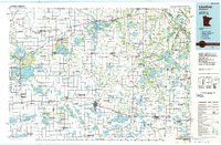 1986 Litchfield1986 Print · USGSCentral Minnesota in the mid-eighties was a landscape of conservation and transport, where the Burlington Northern rail line connected thriving lake towns. Genealogists and historians can trace old townships and landmarks like St Nicholas, Forest City, and School House Lake.2 unique versions available
 - 2010 Map of Hawick, 2010 Print
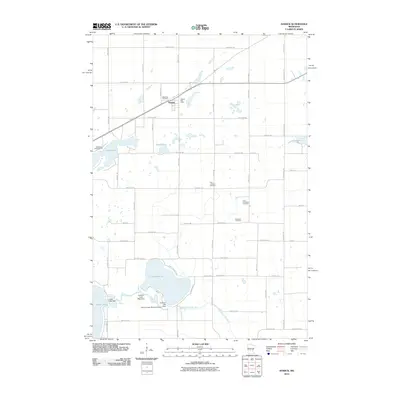 2010 Hawick2010 Print · USGSThe rural landscape around Hawick is captured here during the first decade of the millennium, showing a region defined by its lakes and agricultural heritage. Genealogists and historians can locate several local burial grounds including Nordland Cemetery and Free Christians Cemetery near the Middle Fork Crow River.
 - 2013 Map of Hawick, 2013 Print
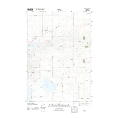 2013 Hawick2013 Print · USGSCentral Minnesota's lake country is captured here as the modern era maintains its rural roots at the meeting point of three counties. Genealogists can locate several local burial sites including Roseville Cemetery and Nordland Cem, while tracing the waters of the Middle Fork Crow River.
 - 2016 Map of Hawick, 2016 Print
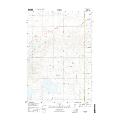 2016 Hawick2016 Print · USGSMid-century settlement patterns and glacial lakes define this tri-county border area of Central Minnesota. Local historians can trace the foundations of the community through several rural burial sites like Zion Lutheran Cem and Nordland Cem or locate old routes like Old Hwy 23.
 - 2019 Map of Hawick, 2019 Print
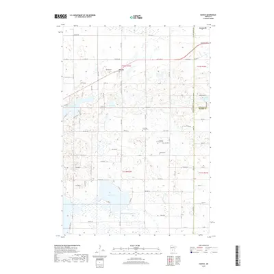 2019 Hawick2019 Print · USGSCentral Minnesota's lake country is detailed here during the late 2010s at the intersection of three counties. You can trace local family history through community sites like Roseville Cem or locate the headwaters of the Middle Fork Crow River near Hawick.
 - 2022 Map of Hawick, 2022 Print
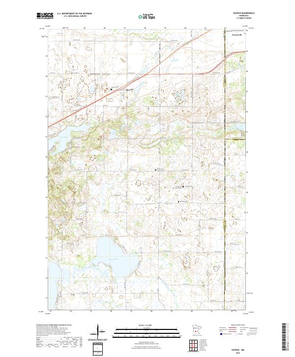 2022 Hawick2022 Print · USGSCentral Minnesota's lake country is captured here during the 2020s, showing the rural communities at the intersection of three counties. Genealogists and local historians can trace the sites of Roseville Cem, Hawick, and the Middle Fork Crow River.
End of results
Showing maps 1-10 of 10
Top cities near Hawick
- Willmar historical maps
- Paynesville historical maps
- New London historical maps
- Spicer historical maps
- Atwater historical maps
- Belgrade historical maps
See more
Frequently asked questions
- What are the different types of historical maps available for Hawick?
- What is the oldest map of Hawick?
- Where can I purchase historical maps of Hawick for my home or office?
- Where can I download high-res historical maps of Hawick?
- Are there historical topographic maps available for Hawick?
- Is there historical aerial imagery available for Hawick?
- Where are historical maps of Hawick sourced from?