Old Maps of Enok, Minnesota for Academic Research
Study the evolution of Enok with 13 high-resolution historic maps. Whether you're teaching, researching, or modeling changes in land use, these maps provide essential visual documentation of urban, environmental, and geographic change.
- Analyze long-term change: Track patterns in development, transportation, and natural features.
- Ideal for environmental or urban studies: Support academic projects with primary historical map data.
- Use in the classroom or lab: Educators and researchers rely on these maps to bring historical context to life.
These maps are a powerful tool for teaching, research, and visualizing how Enok has changed over the decades.
Enok, MN maps
(13)- 1939 Map of Kennedy, 1963 Print
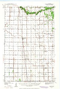 1939 Kennedy1963 Print · USGSUpper Minnesota prairie life is centered on the Great Northern railroad in the years before the war. Genealogists and local historians can trace family roots through numerous country schools and churches like McKinley Sch, Happy Corner, and Enok Ch.2 unique versions available
 - 1941 Map of Kennedy
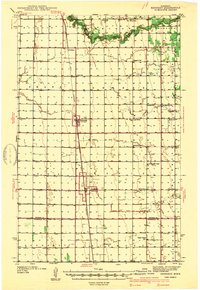 1941 Kennedy1941 Print · USGSNorthwest Minnesota farming life is centered on the rail corridor during the late 1930s. Genealogists and historians can trace the foundations of rural society through landmarks like West Emmaus Ch, Happy Corner, and the Whalen Sch.
 - 1952 Map of Thief River Falls, 1967 Print
 1952 Thief River Falls1967 Print · USGSThe Red River Valley's agricultural and conservation landscape is captured in the mid-1950s, detailing a web of rail lines and international border crossings. Researchers can trace family roots in towns like Thief River Falls, locate the State School for Blind, and survey landmarks like the Agassiz National Wildlife Refuge.2 unique versions available
 - 1956 Map of Thief River Falls
 1956 Thief River Falls1956 Print · USGSThe Red River Valley in the mid-1950s is captured here as a sprawling network of rail corridors and wildlife refuges along the Canadian border. Trace the vanished transport routes of the Dismantled railroad and Abandoned railroad or locate local landmarks like the Herrick Elevator and State School for Blind.
 - 1957 Map of Thief River Falls
 1957 Thief River Falls1957 Print · USGSThe Red River Valley in the mid-fifties is captured here as a thriving network of rail towns and conservation lands. Genealogists and historians can trace family roots through settlements like Grafton, Pembina, and Hallock, or locate landmarks such as the State School for Blind and the Great Northern RR corridor.
 - 1967 Map of Thief River Falls
 1967 Thief River Falls1967 Print · USGSThe Red River Valley and the international border come alive in the 1960s, showing a landscape shaped by major rail lines and river commerce. Genealogists and historians can trace the paths of the Great Northern and Soo Line through towns like Thief River Falls, Grafton, and Hallock.
 - 1974 Map of Enok, 1976 Print
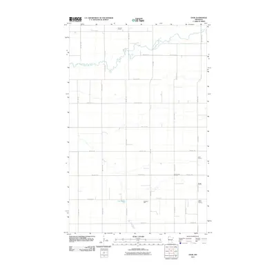
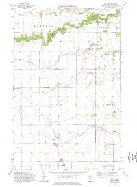 1974 Enok1976 Print · USGSKittson County in the mid-seventies remains a landscape defined by its winding waterways and scattered rural townships. Genealogists can trace family roots through sites like West Emmaus Cem, Jupiter Mission Cem, and the small settlement of Enok.
 - 1985 Map of Hallock
 1985 Hallock1985 Print · USGSNorthwestern Minnesota’s borderlands are captured here in the mid-1980s as a managed landscape of agriculture and conservation. Trace the Burlington Northern line through historic rail towns like Hallock or locate remote airstrips and the expansive Lake Bronson State Park.2 unique versions available
 - 2010 Map of Enok, 2010 Print
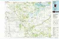
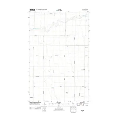
 2010 Enok2010 Print · USGSCovers Enok, including Kittson County, United States, and other nearby areas
 - 2013 Map of Enok, 2013 Print
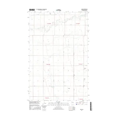
 2013 Enok2013 Print · USGSCovers Enok, including Kittson County, United States, and other nearby areas
 - 2016 Map of Enok, 2016 Print
 2016 Enok2016 Print · USGSCovers Enok, including Kittson County, United States, and other nearby areas
 - 2019 Map of Enok, 2019 Print
 2019 Enok2019 Print · USGSCovers Enok, including Kittson County, United States, and other nearby areas
 - 2022 Map of Enok, 2022 Print
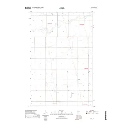
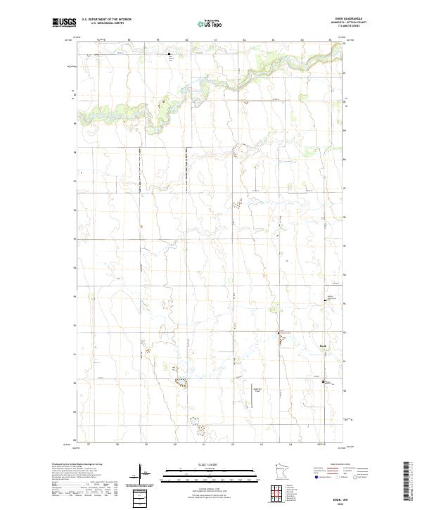 2022 Enok2022 Print · USGSKittson County's rural townships are captured here in the twenty-first century, showing the enduring agricultural character of the far northwest. Genealogists can trace early settler footprints at Jupiter Community Cem, West Emmaus Cem, and the small settlement of Enok.
End of results
Showing maps 1-13 of 13
Top cities near Enok
- Hallock historical maps
- Stephen historical maps
- Lancaster historical maps
- Kennedy historical maps
- Lake Bronson historical maps
- Deerwood historical maps
See more
Frequently asked questions
- What are the different types of historical maps available for Enok?
- What is the oldest map of Enok?
- Where can I purchase historical maps of Enok for my home or office?
- Where can I download high-res historical maps of Enok?
- Are there historical topographic maps available for Enok?
- Is there historical aerial imagery available for Enok?
- Where are historical maps of Enok sourced from?