
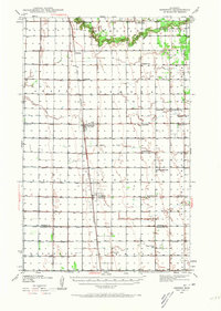
1939 Map of Kennedy
USGS Topo · Published 1963About this map
Great Northern rail lines anchor the agricultural landscape of Kittson and Marshall counties as it appeared in the late 1930s. The region is defined by a dense network of judicial ditches and township boundaries like Skane and Svea, reflecting the organized land reclamation and Scandinavian heritage of the Red River Valley. The South Branch Two Rivers meanders through the northern section near Wilson Sch, providing one of the few breaks in the systematic grid of section roads and drainage canals.
Find a feature on this map
35 named features on this map. Tap any name to fly to it.
Don’t see what you’re looking for? This feature index may not catch every label — zoom into the map to look around manually.
Map Details
Editions of this 1939 Kennedy Map
2 editions found
Other maps of this area

1918 · Hemmington
USGS Topo · 1:62,500

1918 · Acton
USGS Topo · 1:62,500

1918 · Argyle
USGS Topo · 1:62,500

1939 · Drayton
USGS Topo · 1:62,500

1939 · Pembina
USGS Topo · 1:62,500

1941 · Kennedy
USGS Topo · 1:62,500

1941 · Drayton
USGS Topo · 1:62,500

1941 · Hallock
USGS Topo · 1:62,500

1941 · Pembina
USGS Topo · 1:62,500

1952 · Thief River Falls
USGS Topo · 1:250,000