
1939 Map of Pembina
USGS Topo · Published 1958About this map
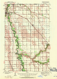
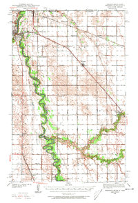
The Red River of the North serves as the primary artery of this borderland landscape, winding along the boundary between North Dakota and Minnesota. At the northernmost edge, the international crossing at Noyes features the U S Customs station, highlighting the area's strategic importance for trans-border transit during the late 1930s. A dense network of rural infrastructure is evident through the numerous schoolhouses dotting the sections, including the Hull Sch, South Hill Sch, and North Red River Sch, reflecting a settled agricultural community before the consolidation of mid-century school districts.
Find a feature on this map
41 named features on this map. Tap any name to fly to it.
Don’t see what you’re looking for? This feature index may not catch every label — zoom into the map to look around manually.
Map Details
Editions of this 1939 Pembina Map
3 editions found
Other maps of this area

1939 · Drayton
USGS Topo · 1:62,500

1939 · Glasston
USGS Topo · 1:62,500

1939 · Kennedy
USGS Topo · 1:62,500

1941 · Kennedy
USGS Topo · 1:62,500

1941 · Drayton
USGS Topo · 1:62,500

1941 · Glasston
USGS Topo · 1:62,500

1941 · Hallock
USGS Topo · 1:62,500

1941 · Bathgate
USGS Topo · 1:62,500

1941 · Pembina
USGS Topo · 1:62,500

1952 · Thief River Falls
USGS Topo · 1:250,000