Loading...
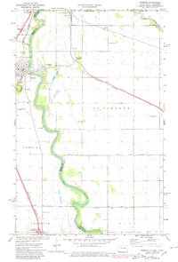
Loading map...1939 Map of Pembina
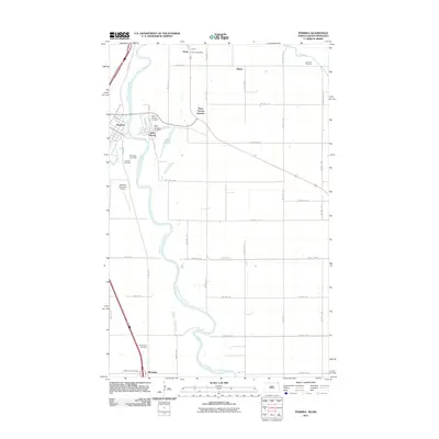
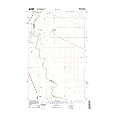
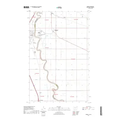
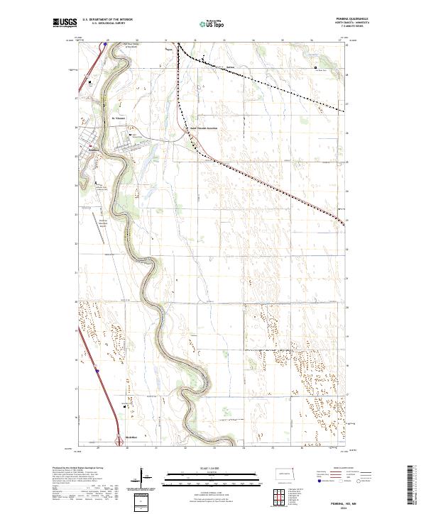
USGS Topo · Published 1971About this map
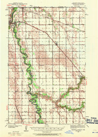
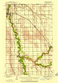
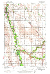
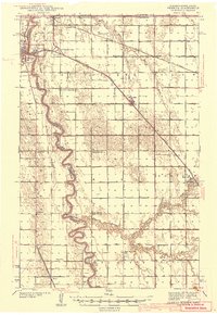
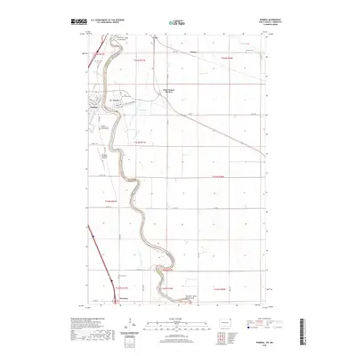
The Red River of the North winds through this international borderland, serving as the defining boundary between Pembina County, North Dakota, and Kittson County, Minnesota. In the late 1930s, this region was a critical transit corridor, marked by the confluence of the Northern Pacific, Great Northern, and the Minneapolis St Paul and Sault Ste Marie railroads. The settlement at Pembina stands as a focal point near the Canadian border, where US Customs at Noyes monitored the steady flow of trade and travel.
Find a feature on this map
42 named features on this map. Tap any name to fly to it.
Don’t see what you’re looking for? This feature index may not catch every label — zoom into the map to look around manually.
Map Details
Date Portrayed1939
Date Published1971
PublisherU.S. Geological Survey
Map TypeTopographic
Scale1:62,500
Physical Dimensions14.8 x 20.7 inches
Editions of this 1939 Pembina Map
3 editions found
Historical Maps of Pembina Through Time
8 maps found
Featured Locations
Source Details
SourceU.S. Geological Survey
CopyrightPublic Domain