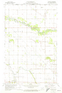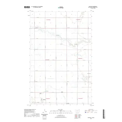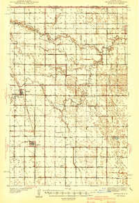
1941 Map of Bathgate
USGS Topo · Published 1941About this map
Pembina sits at the northern edge of the Red River Valley, just south of the border between the United States and Canada. Surveyed shortly before the second World War, this map captures the intensive rural development of northeastern North Dakota, where a dense network of country schools served farming families. Notable educational landmarks include the State School for Blind near Bathgate and numerous rural schoolhouses such as Trudell Sch, East Carlisle Sch, and Welford Sch.
Find a feature on this map
32 named features on this map. Tap any name to fly to it.
Don’t see what you’re looking for? This feature index may not catch every label — zoom into the map to look around manually.
Map Details
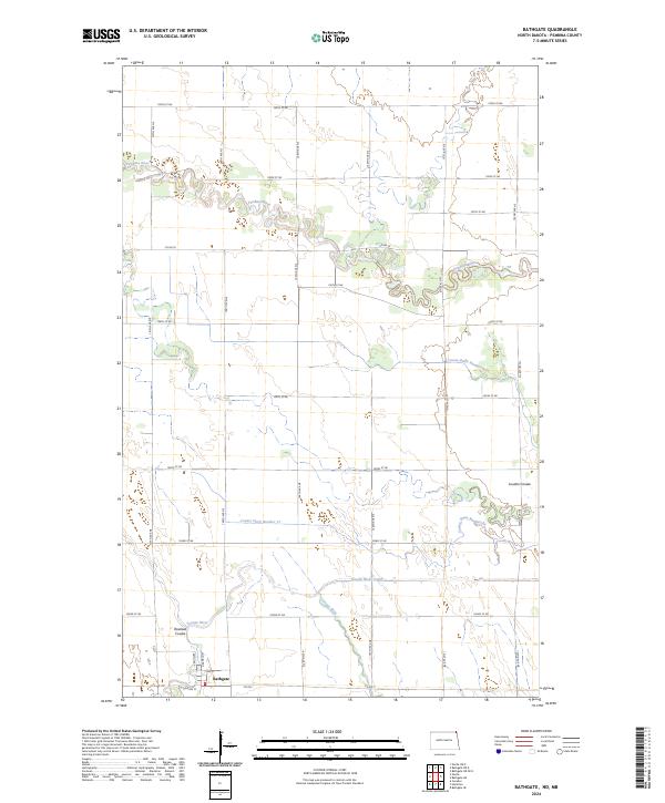
Editions of this 1941 Bathgate Map
This is the sole edition of this map. No revisions or reprints were ever made.
Historical Maps of Pembina Through Time
7 maps found