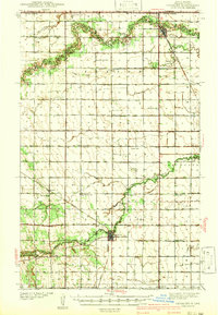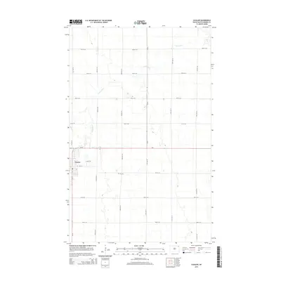
1939 Map of Cavalier
USGS Topo · Published 1960About this map
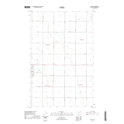
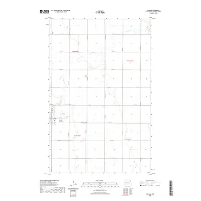
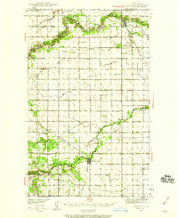
The Pembina River and Tongue River meander through this borderland landscape in 1939, defining the agricultural character of northeastern North Dakota just south of the United States Canada boundary. The regional economy is anchored by the Great Northern railroad, which links the settlements of Neche, Backoo, Akra, and the county seat at Cavalier. This era is defined by a dense network of one-room schoolhouses, with nearly every township section supporting its own local institution, such as Crosby Sch, Leyden Sch, and Krak Sch.
Find a feature on this map
36 named features on this map. Tap any name to fly to it.
Don’t see what you’re looking for? This feature index may not catch every label — zoom into the map to look around manually.
Map Details
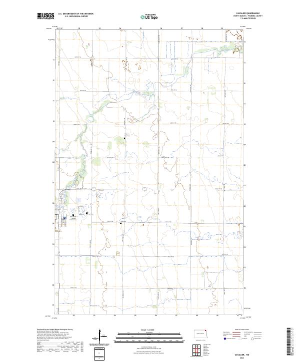
Editions of this 1939 Cavalier Map
This is the sole edition of this map. No revisions or reprints were ever made.
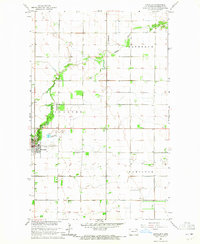
Historical Maps of Cavalier Through Time
9 maps found