
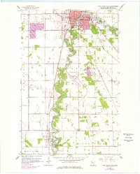
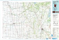
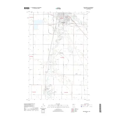
1956 Map of Thief River Falls
USGS Topo · Published 1956About this map
The Red River of the North defines the international boundary between the United States and Canada on this mid-century survey, winding through a landscape dominated by drainage networks and extensive wildlife management areas. The intersection of three major rail lines—the Great Northern, Northern Pacific, and Minneapolis St Paul and Sault Ste Marie—dictates the settlement pattern, connecting towns like Hallock and Warren.
Find a feature on this map
167 named features on this map. Tap any name to fly to it.
Don’t see what you’re looking for? This feature index may not catch every label — zoom into the map to look around manually.
Map Details
Editions of this 1956 Thief River Falls Map
This is the sole edition of this map. No revisions or reprints were ever made.
Historical Maps of Thief River Falls Through Time
13 maps found
1943 Thief River Falls
Pennington County, MN
1952 Thief River Falls
Pennington County, MN
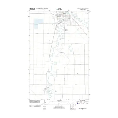
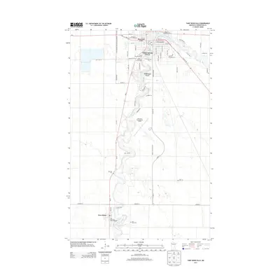
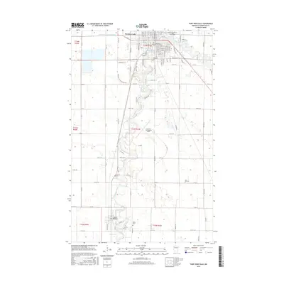
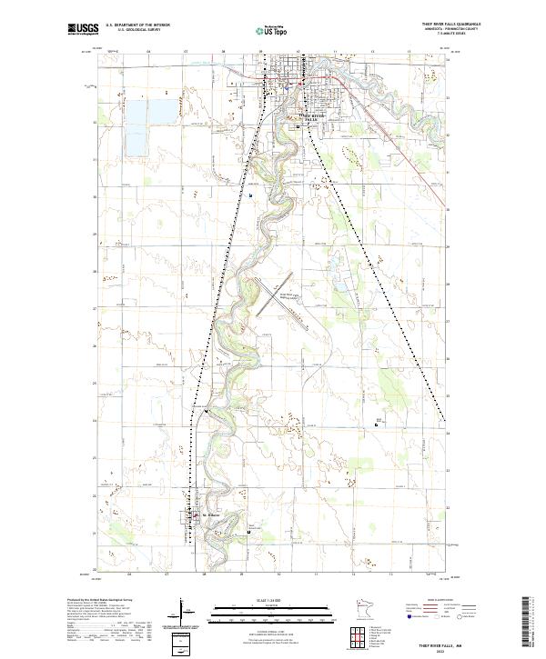
1956 Thief River Falls
Pennington County, MN

1957 Thief River Falls
Pennington County, MN
1959 Thief River Falls
Pennington County, MN

1967 Thief River Falls
Pennington County, MN
1985 Thief River Falls
Pennington County, MN
1992 Thief River Falls
Pennington County, MN
2010 Thief River Falls
Pennington County, MN
2013 Thief River Falls
Pennington County, MN
2016 Thief River Falls
Pennington County, MN
2019 Thief River Falls
Pennington County, MN
2022 Thief River Falls
Pennington County, MN