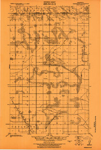
1918 Map of Hemmington
USGS Topo · Published 1918About this map
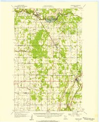
The International Boundary between Canada and the United States marks the northern limit of this northern Minnesota landscape, where the Provencher District of Manitoba meets the townships of McKinley and Blooming Valley. This 1918 tactical survey shows an area defined by extensive drainage efforts, with numerous Ditches and segments of State Ditch cutting through vast stretches of Swamp to reclaim the land for agriculture. Settlement is sparse, clustered around the Minn. St. Paul and Sault Ste. Marie railroad line in the southwest, including the crossing at Farm Xing. Local life is anchored by a few rural landmarks, such as the Cem. and School near Hemmington, and several other isolated schoolhouses and a Church that served the pioneer farming families of Poppleton and Cannon.
Find a feature on this map
18 named features on this map. Tap any name to fly to it.
Don’t see what you’re looking for? This feature index may not catch every label — zoom into the map to look around manually.
Map Details
Editions of this 1918 Hemmington Map
This is the sole edition of this map. No revisions or reprints were ever made.
Other maps of this area

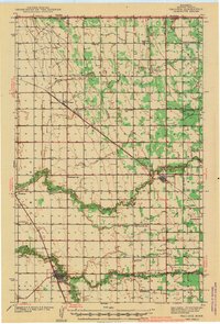
1919 · Pelan
USGS Topo · 1:62,500

1930 · Juneberry
USGS Topo · 1:31,680

1932 · Juneberry
USGS Topo · 1:62,500
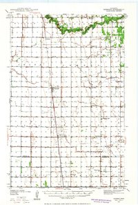
1939 · Kennedy
USGS Topo · 1:62,500
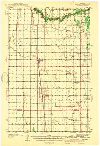
1941 · Kennedy
USGS Topo · 1:62,500
1941 · Hallock
USGS Topo · 1:62,500

1952 · Thief River Falls
USGS Topo · 1:250,000

1956 · Thief River Falls
USGS Topo · 1:250,000
1956 · Karlstad
USGS Topo · 1:62,500

1957 · Thief River Falls
USGS Topo · 1:250,000