1918 Map of Acton
USGS Topo · Published 1918About this map
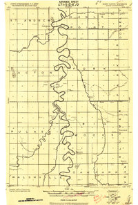
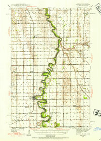
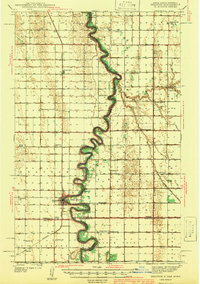
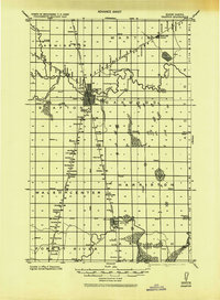
The Red River snakes a complex, meandering path through this 1918 military compilation, defining the border between Walsh Co North Dakota and Marshall Co Minnesota. The landscape is dominated by riverine hydrology, with the Snake River, Tamarac River, and Middle River all converging toward the Red River basin. This survey captures a moment of established rural settlement before significant 20th-century consolidation, marking numerous dispersed one-room schools and several community hubs. Local history is anchored at St. Andrews, Acton, and Bigwoods, which are noted alongside discontinued post offices, indicating a shifting postal and commercial geography at the time. An extensive network of drainage projects, including Co. Ditch No 7 and Jud. Ditch No 9, reflects the intensive efforts to manage the Red River Valley's flat, often swampy terrain for agricultural use.
Find a feature on this map
40 named features on this map. Tap any name to fly to it.
Don’t see what you’re looking for? This feature index may not catch every label — zoom into the map to look around manually.
Map Details
Editions of this 1918 Acton Map
This is the sole edition of this map. No revisions or reprints were ever made.
Other maps of this area
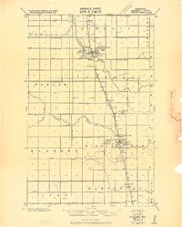
1918 · Argyle
USGS Topo · 1:62,500
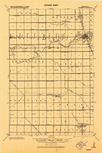
1918 · Warren
USGS Topo · 1:62,500
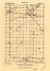
1926 · Ardoch
USGS Topo · 1:62,500
1939 · Drayton
USGS Topo · 1:62,500

1939 · Glasston
USGS Topo · 1:62,500
1939 · Kennedy
USGS Topo · 1:62,500
1941 · Kennedy
USGS Topo · 1:62,500
1941 · Drayton
USGS Topo · 1:62,500

1941 · Glasston
USGS Topo · 1:62,500
1943 · Grafton
USGS Topo · 1:62,500