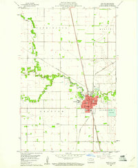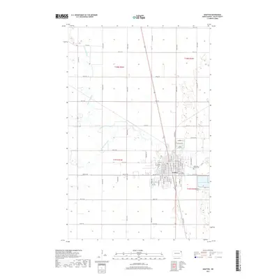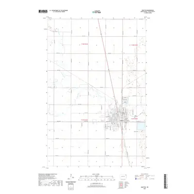
1943 Map of Grafton
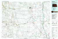
USGS Topo · Published 1943About this map
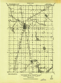
The Grafton township and its surrounding agricultural prairie are documented here as they appeared between the world wars, following a 1918 military compilation. The landscape is defined by the intersection of the Great Northern and Northern Pacific railroads, which facilitated the development of grain-handling hubs like Minto, Cashel, and Voss. The map reveals a dense network of early 20th-century civic life, with numerous Schools and rural Churches plotted across the townships of Martin, Oakwood, and Harriston.
Find a feature on this map
26 named features on this map. Tap any name to fly to it.
Don’t see what you’re looking for? This feature index may not catch every label — zoom into the map to look around manually.
Map Details
Editions of this 1943 Grafton Map
This is the sole edition of this map. No revisions or reprints were ever made.
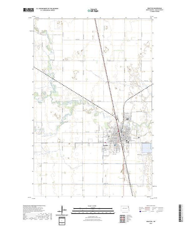
Historical Maps of Grafton Through Time
8 maps found