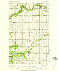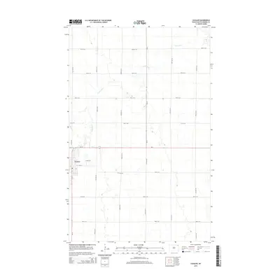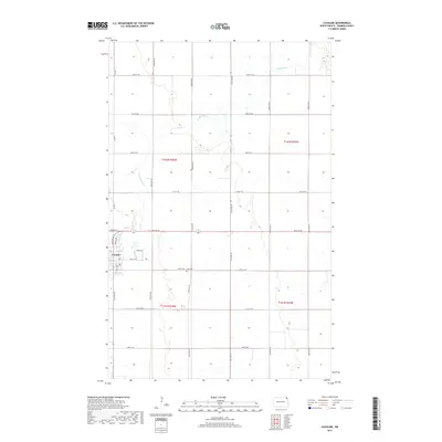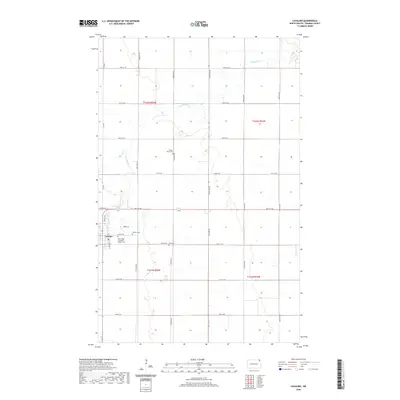
1941 Map of Cavalier
USGS Topo · Published 1941About this map
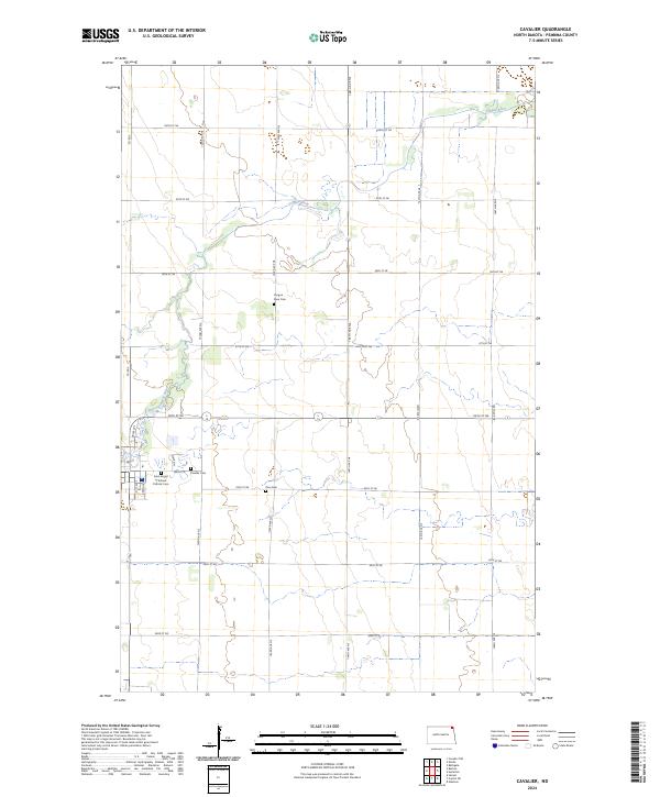
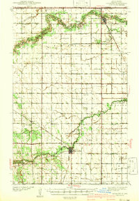
The northern border of Pembina County meets the Canada United States boundary in this 1939 survey of the Red River Valley hinterland. The landscape is defined by the winding paths of the Pembina River and the Tongue River, which cut through the level plains and support a dense network of early 20th-century rural schools. Settled townships like Felson and Akra are mapped with high precision, showing the rail-dependent growth of hubs like Cavalier, Neche, and Backoo along the Great Northern railroad tracks.
Find a feature on this map
36 named features on this map. Tap any name to fly to it.
Don’t see what you’re looking for? This feature index may not catch every label — zoom into the map to look around manually.
Map Details
Editions of this 1941 Cavalier Map
This is the sole edition of this map. No revisions or reprints were ever made.
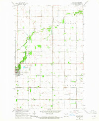
Historical Maps of Cavalier Through Time
9 maps found